LIVE UPDATES: Tornado Watch Active Until 3 a.m. For Severe Weather Outbreak
Oklahoma Weather Forecast: Bookmark this page and refresh it often for the latest forecast and daily updates.Saturday, April 27th 2024, 11:58 pm

TULSA, Okla. -
Chief Meteorologist Travis Meyer is live in the Bob Mills Weather Center on Saturday as severe storms move into Green Country.
CLICK HERE for Live Updates from the Bob Mills Weather Center
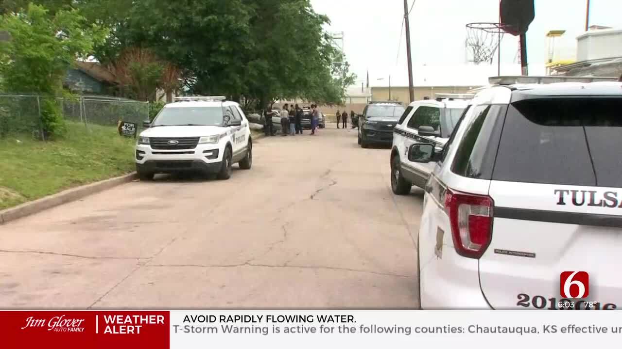
Several tornados have moved through Oklahoma on Saturday. Strong winds, rain, hail, and flooding have caused damage to Norman, Sulphur, Stillwater, and more towns across the state.
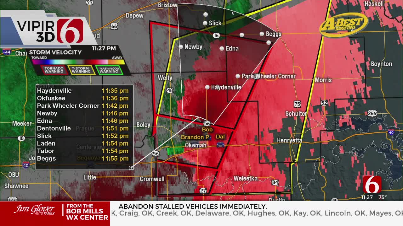
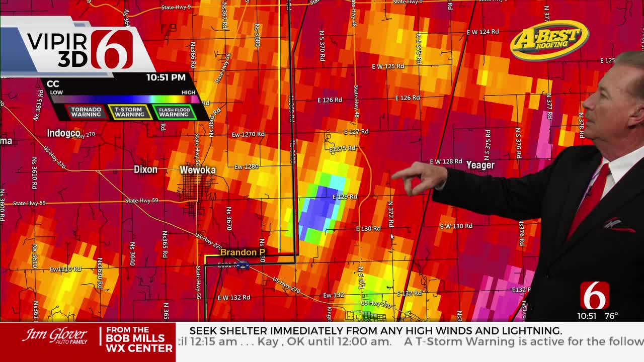
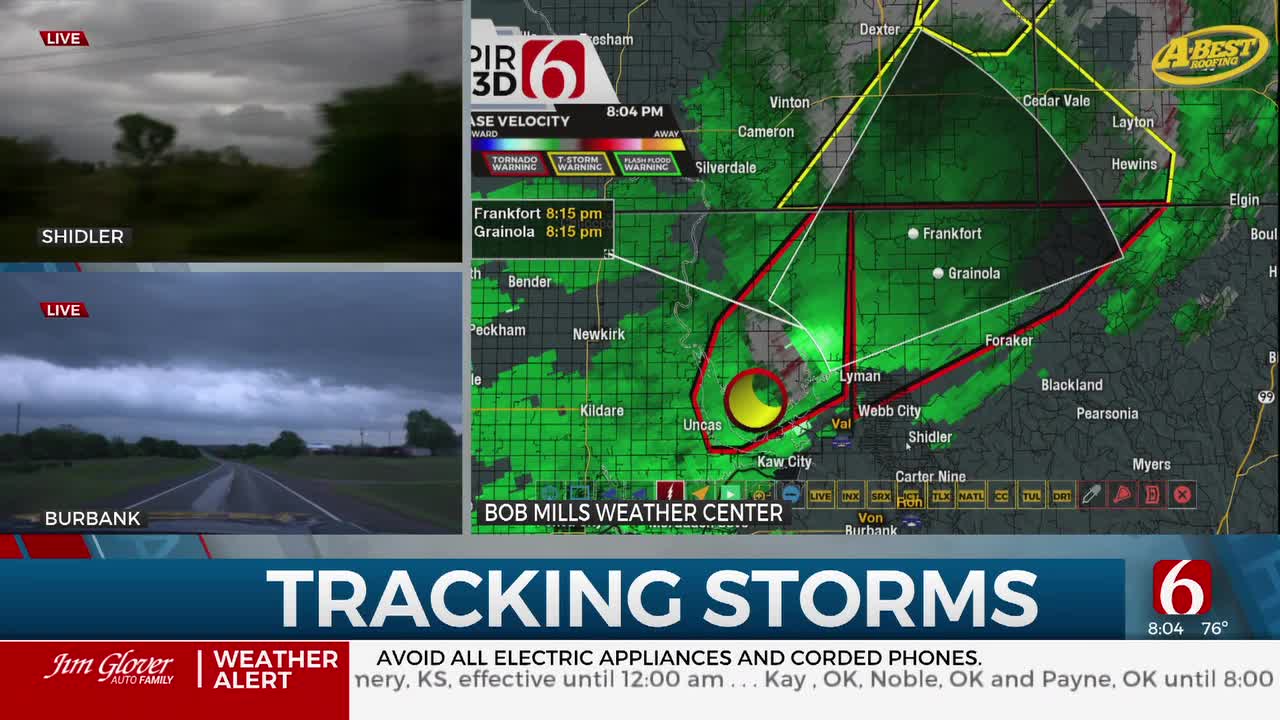
All of the Tulsa metro and back to the south and west have some warnings as of 11:45. We have multiple ongoing tornado warnings in Osage County and portions of Creek, Okfuskee, and Okmulgee County. Severe thunderstorms from Bartlesville all the way south to Henryetta. It will be a long night of storms with more to come.
Active Watches & Warnings:
- Tornado Warning for Osage County until 12:45 p.m.
- Severe Thunderstorm Warning is in effect for McIntosh, Muskogee, Okfuskee, Okmulgee, Tulsa, and Wagoner County in OK until 12:45 am.
- 18 counties in Green Country/ central Oklahoma are under a Tornado Watch until 3 a.m. Cherokee, Muskogee, Okfuskee, Craig, Creek, Delaware, Mayes, Nowata, Okmulgee, Osage, Ottawa, Pawnee, Rogers, Tulsa, Wagoner, and Washington counties.

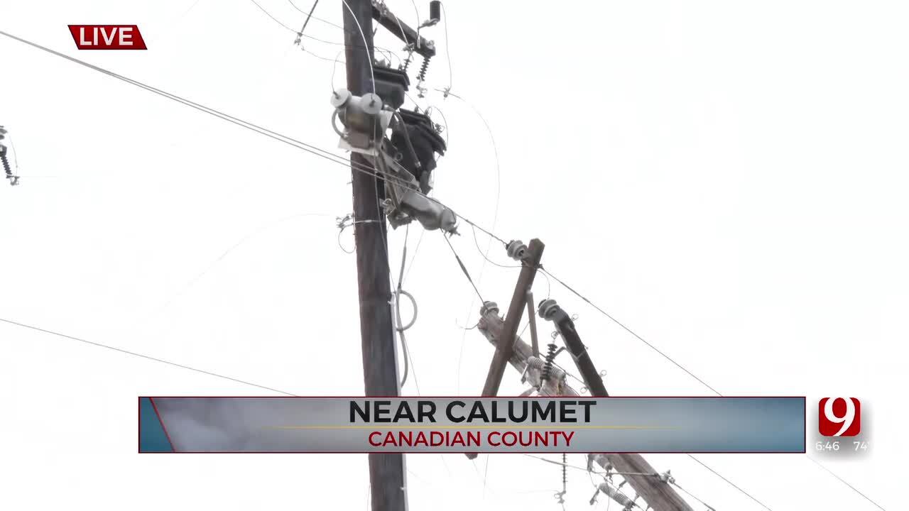
Outages Across Oklahoma:
Northeast Oklahoma has various power companies and electric co-operatives, many with overlapping areas of coverage. Below is a link to various outage maps.
Indian Electric Cooperative (IEC) Outage Map
Oklahoma Association of Electric Cooperatives Outage Map - (Note Several Smaller Co-ops Included)
What are the storm chances this weekend in Oklahoma?
Saturday morning to midday there will be a slight chance of a few showers or storms developing in the warm sector across central and eastern OK as strong southeast winds continue from 20 to 40 mph.
The next powerful upper air trough will be advancing eastward and may also trigger a few showers or storms by early afternoon along and west of I-35.
A dry line is expected to be located across west-central OK where additional super cellular storms are likely to develop by late afternoon and early evening. This activity will move northeast across part of central OK and eventually enter sections of eastern OK Saturday evening.
All modes of severe weather will be likely. As the low-level jet strengthens shortly after sunset, the potential for tornadic activity may increase.
Later in the evening, storms will tend to form line segments as the upper flow becomes more parallel to a weak pacific front that will overtake the dry line as it moves west to east. The severe threats will continue but also morph into a heavy rainfall and flash flooding chance for some locations.
Some of these storms may persist into the overnight hours into early Sunday morning but should also gradually weaken as they slowly move east after early Sunday morning.
There will remain a chance for some redevelopment Sunday afternoon across the far eastern sections of the state, but greater upper-level forcing will be slightly north of the region.
The Alan Crone morning weather podcast link from Spotify:
https://open.spotify.com/episode/5j0ovActG8BZCOTqZQzrfU
The Alan Crone morning weather podcast link from Apple:
https://podcasts.apple.com/us/podcast/weather-out-the-door/id1499556141?i=1000646589555
Follow the News On 6 Meteorologists on Facebook!

Get The Daily Update!
Be among the first to get breaking news, weather, and general news updates from News on 6 delivered right to your inbox!
More Like This


April 27th, 2024
April 27th, 2024

April 27th, 2024
Top Headlines
April 27th, 2024
April 27th, 2024
