Windy Day Expected Across Eastern Oklahoma
<p>The dry air, clear sky, and light winds will combine to produce temperatures in the 20s and 30s this morning across all of eastern OK. </p>Friday, December 30th 2016, 4:10 am


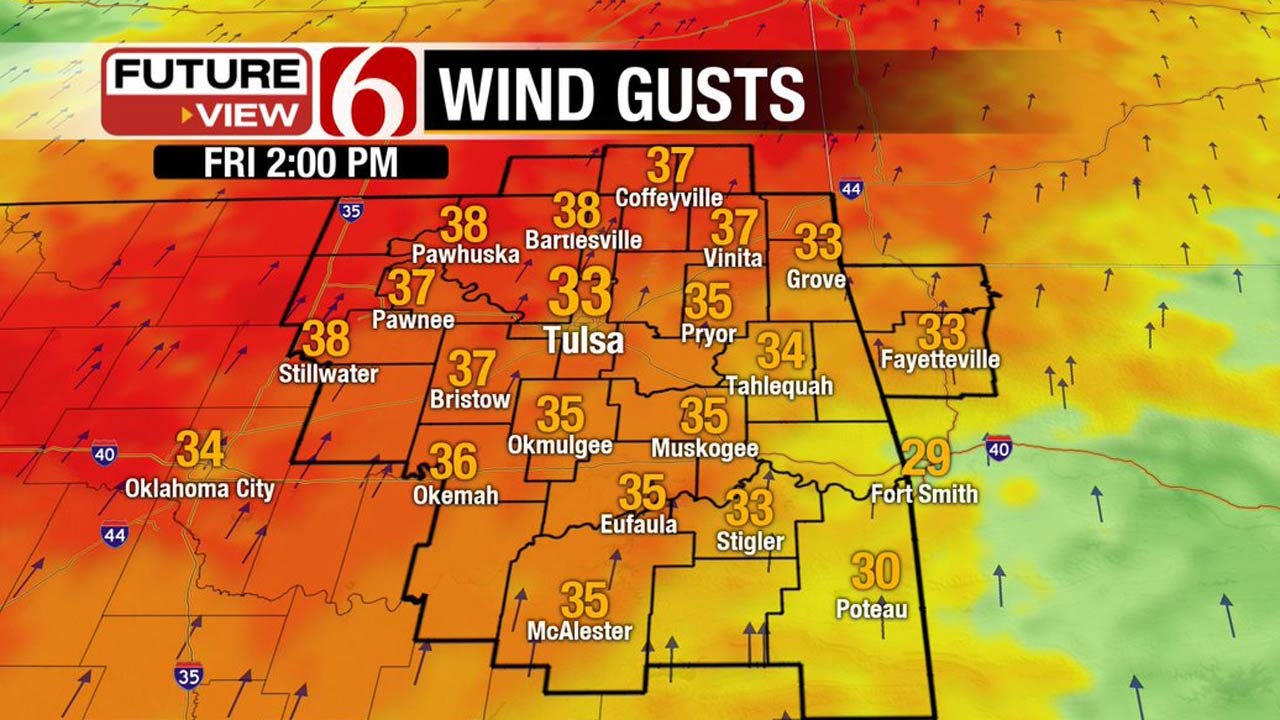
The dry air, clear sky, and light winds will combine to produce temperatures in the 20s and 30s this morning across all of eastern OK. Daytime highs will expand into the upper 50s today near 60 with mostly sunny sky but increasing south winds from 20 to 30 mph will increase the fire danger across the region. You should avoid burning today.
Stay Connected With The News On 6
The first of two waves will near the area later tonight into Saturday morning with a few sprinkles across far southeastern OK. A 2nd wave will eject across the region Sunday night into Monday morning with increasing rain and storms chances, mostly across the southern sections of the state, but we’ll include the probability for the Tulsa metro. A weak shallow cold front will arrive Saturday afternoon and evening and will stall south of the metro by early Sunday morning before migrating northward Sunday night. But a much stronger arctic front will arrive Tuesday and set the stage for a long intrusion of cold air that may last through next weekend.
The first front will arrive Saturday afternoon and progress southward into southern Ok before stalling around the Kiamichi’s. This front will pose a tricky temp forecast for Saturday because highs will more than likely be reached around the noon to 1pm hour with falling temps in the 40s by afternoon across northeastern OK. Temps will continue to drop across the northeastern quadrant of the state with morning lows in the 20s and 30s by Sunday morning. The front will begin lifting northward Sunday afternoon and evening as a stronger upper level system will be moving across the inter mountain region through the desert southwest. Temperatures should respond with highs moving into the 50s near 60 Sunday afternoon as south winds quickly return across the area. This combination should help to produce some spotty showers or storms Sunday or Sunday night that may last into Monday morning. Monday appears to be our last relatively warm day with lows in the 40s and highs nearing 65 before the arctic front powerhouses across the area later Monday night or Tuesday morning. Strong north winds will develop and the shallow cold air will quickly invade the state with Tuesday morning lows near 30 and highs staying near the briefly hitting the lower 40s and falling into the 30s by late in the day. This air mass may become colder Wednesday through Friday with highs in the 20s. The data yesterday and today suggest that temperatures may be below freezing from Wednesday through Saturday before the air begins to moderate. Wind chill values during the mid to end of the week could drop into the advisory range.
The upper air flow (pattern) may support a weak disturbance nearing the area by the end of next week allowing for some wintry weather potential but the data continues to be inconsistent in the placement of the short-wave energy. You’ll no doubt hear and read a lot of information on social media regarding this potential but the data will not lock with anything consistent for several days. We’ll keep a low mention for light snow for the Thursday and Friday period for late next week.
Thanks for reading the Friday morning weather discussion and blog.
Have a super great day!
Alan Crone

Get The Daily Update!
Be among the first to get breaking news, weather, and general news updates from News on 6 delivered right to your inbox!
More Like This
December 30th, 2016

April 15th, 2024

April 12th, 2024

March 14th, 2024
Top Headlines

April 18th, 2024

April 18th, 2024

April 18th, 2024

