WOW: Incredible Photo Shows Muskogee Flooding From 8,000 Feet
New photos taken by Aerial Data Service, Inc. show the scale of flooding near Muskogee from a whole new perspective.Wednesday, May 29th 2019, 6:56 pm

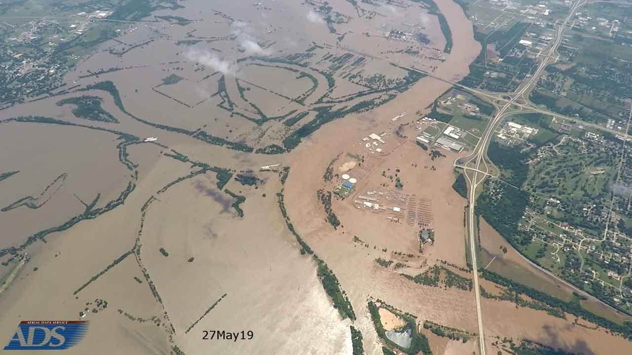

New photos taken by Aerial Data Service, Inc. show the scale of flooding near Muskogee from a whole new perspective.
Aerial Data Service, Inc. is located in Tulsa, Oklahoma and provides aerial photography and mapping services to hundreds of engineering firms and governmental agencies across the country.
The photos sent to News On 6 show a before and after look of the devastating floods from 8,000 ft. The first photo was taken in January of 2018 the second was taken May 27th of 2019.

ADS say they will be flying over the Tulsa area later this week.
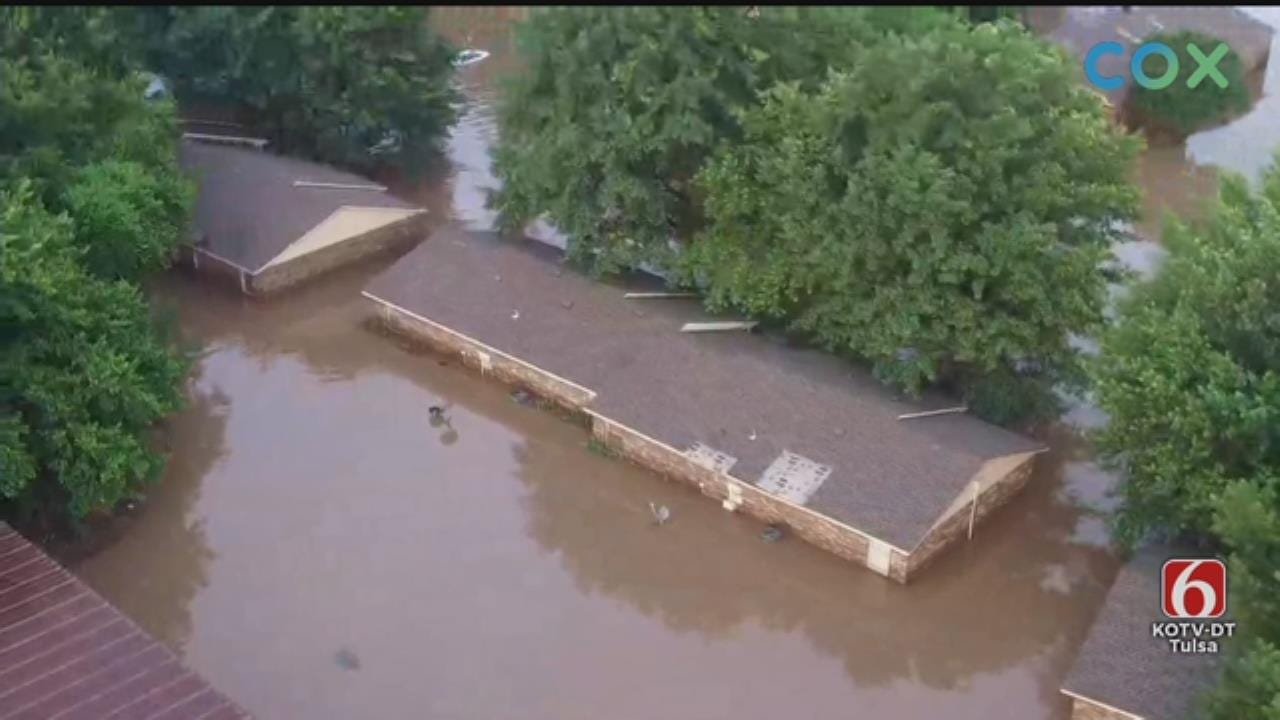
Related Video: WATCH: News On 6 Storm Tracker Darren Stephens Flies Drone 6 Over Flooding In Muskogee County

Get The Daily Update!
Be among the first to get breaking news, weather, and general news updates from News on 6 delivered right to your inbox!
More Like This


April 15th, 2024

April 12th, 2024

March 14th, 2024
Top Headlines

April 19th, 2024

April 19th, 2024

April 19th, 2024

April 19th, 2024
