Summer-Like Weather Continues For Green Country
Summer-Like Weather Continues For Green CountryMonday, June 1st 2020, 5:40 am
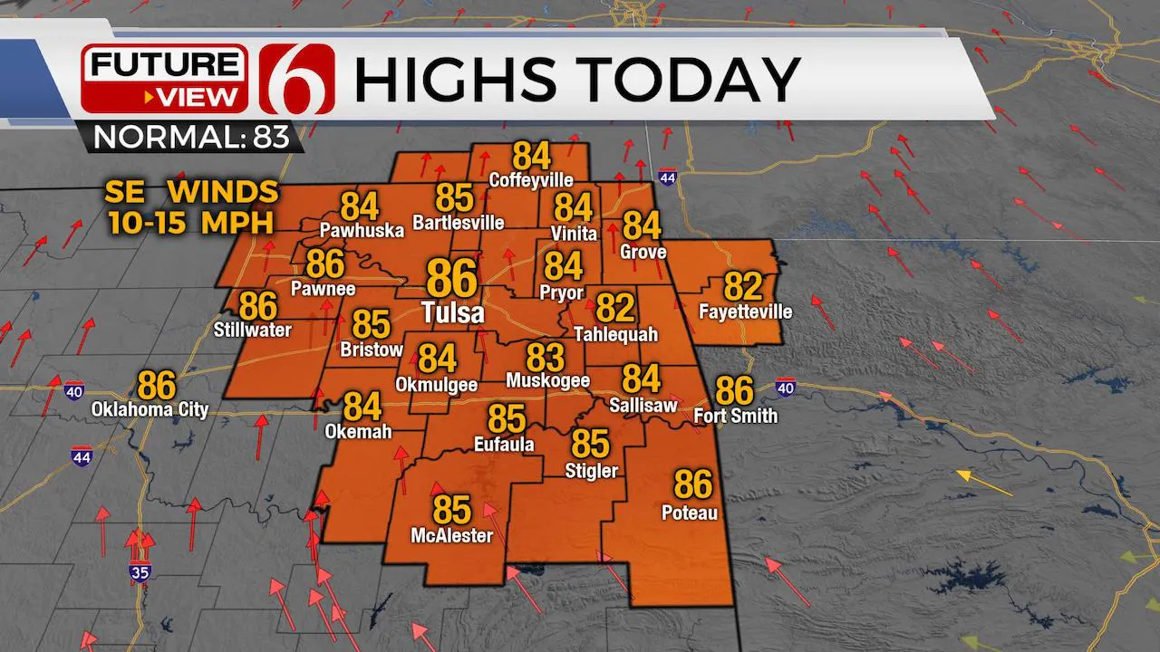
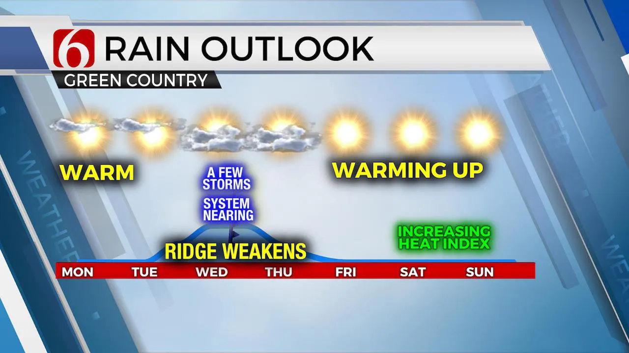
The early summer-like pattern continues for the next few days before the ridge of high-pressure changes shape and weakens slightly. This will allow a weak disturbance to approach from the south Tuesday night into Wednesday and a possible front nearing Kansas Wednesday night into Thursday morning. After this period, the ridge appears to strengthen again as it attempts to center-up across the state. Low level moisture will slowly increase today through Thursday. This means slowly increasing heat index values will also be more noticeable by at least Wednesday. Our heat indices will reach the lower 90s for the middle of the week, only a few degrees above the actual afternoon highs. It appears heat index values could be crossing near or over 100 will this weekend.

The probabilities for this upcoming weakness in the ridge will remain low. As moisture returns, a few showers or storms will be possible Tuesday across far southeastern OK. Probabilities should increase some Wednesday afternoon into the evening hours as a front attempts to move across part of Kansas before stalling. Stronger westerlies continue to be slightly north into the central and northern high plains. Wind shear and speed aloft will remain generally low but increasing convective and potential energy may allow for some pulse-type strong to severe storms Wednesday afternoon with a small complex of storms to brush northeastern OK late Wednesday night into Thursday morning. These chances remain around 20% for the metro and slightly higher to the northeast.

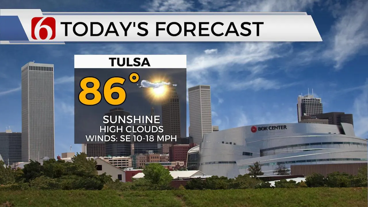
Temperatures will not change much during these periods featuring storm chances but will continue to climb more above seasonal temps for the weekend. Most data support dew points reaching the lower 70s later into the weekend. Welcome to June.

One issue that bears watching is possible tropical development in the Gulf of Mexico by this weekend. Trajectory would allow any landfalling system to move into at least Texas early next week with some potential influence northward for the middle of next week.
Thanks for reading the Monday morning weather discussion and blog
Have a super great day!
Alan Crone
More Like This
June 1st, 2020
August 8th, 2023
July 4th, 2023
May 8th, 2023
Top Headlines
April 16th, 2024
April 16th, 2024


