A Nice Break
We're in store for some pleasant weather for the next few days with cool mornings and mild to warm afternoons. A weak upper level system may approach the area later tonight or Tuesday but shouldn't produceMonday, April 16th 2012, 5:29 am
We're in store for some pleasant weather for the next few days with cool mornings and mild to warm afternoons. A weak upper level system may approach the area later tonight or Tuesday but shouldn't produce any rain for our area. The model data supports another stronger storm system moving into the area Thursday and Thursday evening with a chance of thunderstorms. The weekend outlook currently looks good. At this point, we'll keep the weekend dry and mild, but would of course reserve the right to make some changes with incoming data support.
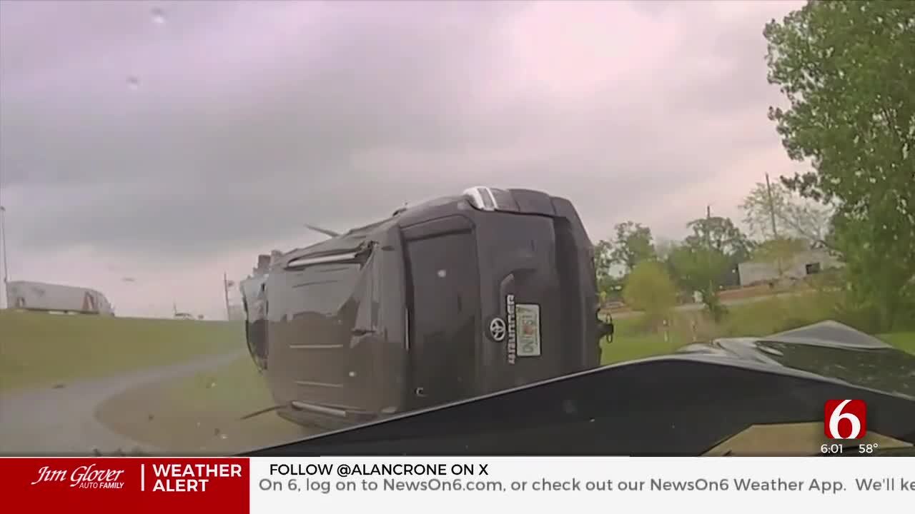
The weekend was eventful for a lot of reasons. Late Friday night into early Saturday morning thunderstorms moved across the northern areas of the state producing a few tornadoes (Piedmont and near Zink Ranch) but with very little damage. Saturday afternoon remained quiet across NE OK while thunderstorms erupted across northwestern OK and became tornadic. Every mature thunderstorm produced a tornado Saturday afternoon and evening across NW OK and central Kansas. Thankfully only a few super cell storms formed across the state and none of the big super cells formed over NE OK during the peak window of late Saturday afternoon and evening. The long track tornado forecast unfortunately came true with a tornado moving from NW OK into central Kansas near Wichita. This tornado track lasted for almost 6 hours and over 260 miles. Many other tornadoes were reported. The SPC counted 121 preliminary tornadoes Saturday.
Sunday morning a weak tornado developed near Skiatook and move rapidly northeast producing some wind damage across Northern Tulsa County. Another tornado rapidly developed in southern Cherokee county shortly after 9:20AM moving northeast into western Adair county producing damage. The remote areas received mainly tree damage, but some structures were destroyed including several barns, a mobile home, and other structures. No injuries were reported from the northeastern OK tornadoes. NWS damage assessment teams have assigned an EF1 rating to the Skiatook tornado and will more than likely issue additional information on the Cherokee-Adair tornado later today.
The Woodward tornado early Sunday morning after midnight) moved across the western third of the city producing significant damage to a mobile home park and several neighborhoods and businesses. At least 11 injuries were reported and unfortunately 5 fatalities occurred with this system, including 2 young children. This storm has been rated EF3 by the NWS in Norman.
The Thursday system does not appear to be a strong storm but some strong to severe storms will be possible.
More Like This
April 16th, 2012
April 15th, 2024
April 12th, 2024
March 14th, 2024
Top Headlines
April 18th, 2024
April 18th, 2024


