Severe Weather Possible Friday In Eastern Oklahoma
The main severe weather window currently appears from 1 p.m. to 10 p.m. Friday for the eastern third of the state, with the metro window roughly during the early portions of that timeline.Thursday, January 9th 2020, 7:05 am
Gusty south winds will continue through the morning hours before decreasing some later this evening as the pressure gradient relaxes. Yet, south winds from 20 to 35 mph should remain for the morning hours. This is bringing low level and mid-level moisture back across the area from the south setting the stage for spotty showers or pockets of drizzle later today with highs reaching the mid-60s. Later this evening, a few isolated storms will be possible across eastern OK, but these will remain below severe levels.
A much stronger upper level system, currently along the Pacific Coastal region, will drop down south and deepen across the southwestern U.S. over the next 48 hours. This powerful upper level system will emerge into the central plains Friday evening triggering a large area of rain and thunderstorms, including the threat of severe weather across eastern OK.
Wind speeds aloft in the range of 80 to 100 knots will roll across the Red River Friday night with the possibility of a regional severe weather outbreak including damaging winds and tornadoes across the part of Texas, the Ark-La-Tex and far southeastern OK. More northward, near and slightly west of the metro, storms will be on the starting line for severe weather, and all modes will be possible. Some pockets of moderate to heavy rainfall will also remain possible with this system and a flash flood watch will be posted for the metro eastward Friday.
The main severe weather window currently appears from 1 p.m. to 10 p.m. for the eastern third of the state, with the metro window roughly during the early portions of that timeline. All modes of severe weather will be possible, including hail, damaging winds and tornadoes. A slightly more favorable area for tornadoes will be across southeastern OK, but other areas across eastern OK will also have this chance.

Later Friday night into Saturday morning the main upper level trough will lift northeast across OK with very cold air aloft allowing for wintry weather developing at the surface. The models have typically struggled with the exact placement of the deformation zone but seem to be converging on a system that should bring wintry weather, including some accumulating snows across northeastern OK. Amounts from 1 to 3 inches will be likely, which fall into the Winter weather advisory criteria. A few of the global models continue suggesting winter storm warning snows (over 4 inches) in some locations northwest of the I-44 region. While a big column cooling snow dump is possible Saturday morning, the rate of snowfall would have to be extremely high to produce some of these warning criteria amounts, but it is possible in a narrow swath. Regardless, impactful wintry weather is becoming more likely for parts of northern OK and southern Kansas Saturday morning to midday, which would cause some travel issues. Locations south of I-40, while still have some chances, will have lower probabilities compared to the north. As always with winter systems, this may still change.

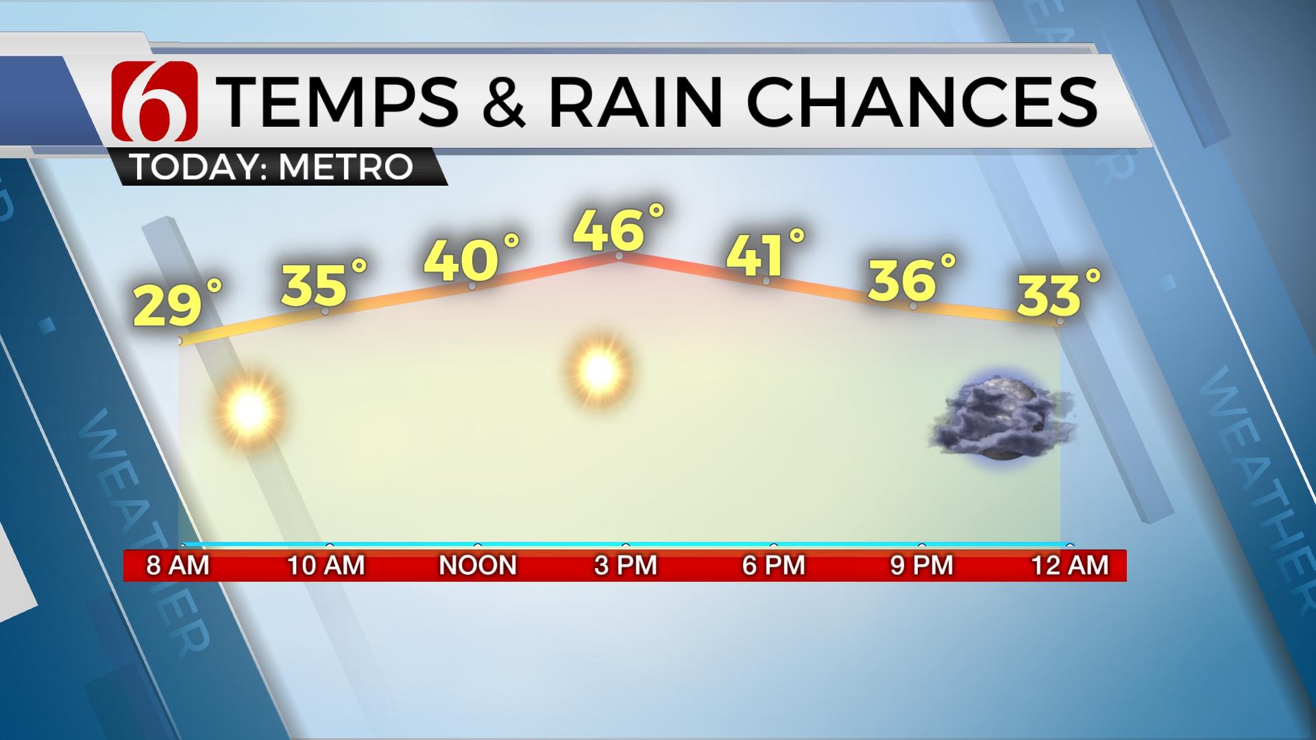
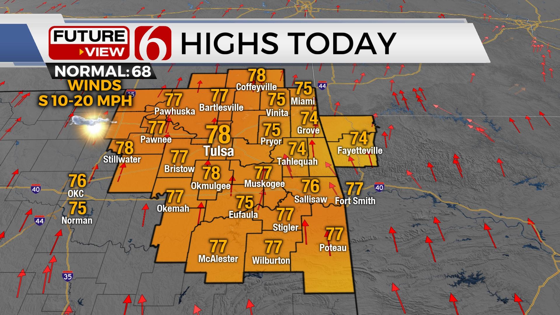
Temperatures today and Friday will remain well above normal with highs today in the lower to mid-60s and nearing the upper 60s Friday before this dynamic winter system arrives.

Winter weather forecasting can be tricky in Oklahoma. It’s rarely a slam-dunk. And even when the ball is going through the basket, it can bounce out! So far, the data continues suggesting we’ll see some snow Saturday. We’ll continue to study the incoming data and adjust when necessary for the wintry weather portion. But our main concern is Friday with the threat of severe storms.
The pattern looks uneventful for early next week but will feature another surge of arctic air for the 2nd half that could impact the following weekend.
Thanks for reading the Thursday morning weather discussion and blog.
Have a super great day!
Alan Crone
More Like This
January 9th, 2020
November 30th, 2022
November 1st, 2022
August 26th, 2022
Top Headlines
April 19th, 2024


