

Spring Arrives Thursday, Cooler for the Weekend.
After a chilly morning, a warm afternoon to mark the beginning of Spring, but the warmer weather will not last long.Wednesday, March 19th 2014, 7:58 pm

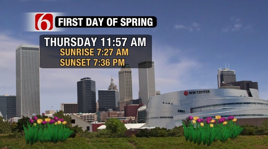
As you can see from the graphic on the right, Spring ‘officially' arrives just before Noon on Thursday. If you are wondering why at that particular time, well that happens to be when the sun is directly over the equator. Notice also that the sunrise/sunset times are listed. The reason why we do not have an equal amount of day/night is due to the fact that the earth is not perfectly round, that the sun is not a point source of light, and that we have an atmosphere that distorts the rising and setting of the sun by several minutes. Also, just because the calendar will say it is Spring, does not necessarily mean the weather has to cooperate.
The morning will start clear and cold with a light freeze in some of the colder valley locations, but as the day wears on southerly winds will be increasing and becoming rather gusty by afternoon. Together with lots of sunshine, afternoon temperatures will reach the lower 70s, humidity levels will drop to near 20%, and the fire danger will be quite high once again.
Gusty southerly winds will continue through Thursday night so that Friday morning will start off much milder with morning temperatures in the 40s to near 50. Despite increasing cloud cover during the day Friday, temperatures are expected to reach back into the 70s along with gusty southerly winds. The fire danger will be enhanced once again due to the strength of the winds, but humidity levels will also be higher which will help some.
Then, another cold front will arrive late in the day to be followed by much cooler conditions through the weekend. There will also be a chance of showers and perhaps some spring-like storms for the evening and overnight hours, particularly for the more E and SE counties. Lingering clouds and showers may also persist off and on through Saturday before ending Saturday night. The cloudy skies, chances of rain, and a gusty N wind all add up to a rather raw Saturday with temperatures likely holding in the 40s for much of the day and only topping out near 50.
Partly sunny skies and a brisk NE wind will also keep Sunday much cooler than normal with highs only in the low-mid 50s at best. Monday may warm up a few degrees before another cold front arrives that night with another chance of a few showers. Tuesday and Wednesday will be quite chilly with an area-wide freeze now looking like a good bet by Wednesday morning. By the way, that is pretty close to our normal last freeze date anyway.
So, stay tuned and check back for updates.
Dick Faurot

Get The Daily Update!
Be among the first to get breaking news, weather, and general news updates from News on 6 delivered right to your inbox!
More Like This
March 19th, 2014

September 29th, 2024

September 17th, 2024

Top Headlines

December 13th, 2024

December 13th, 2024

December 13th, 2024

December 13th, 2024