Warm Thursday; Active Weather Arriving Soon In Northeastern Oklahoma
Some weak forcing will move across the area this morning with a very low chance of a few scattered showers across extreme northern OK or northwestern Arkansas.Thursday, March 12th 2020, 7:08 am
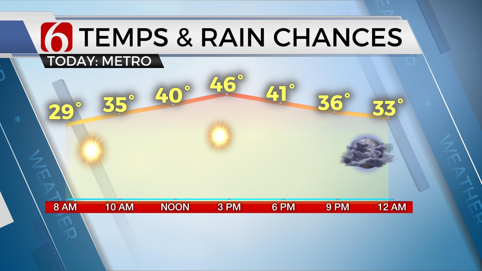
Some weak forcing will move across the area this morning with a very low chance of a few scattered showers across extreme northern OK or northwestern Arkansas. This chance remains extremely low and will not be mentioned in the 7-day planner. Temperatures are currently in the upper 50s and lower 60s along with southeast winds near 10 mph. The front that moved across the area yesterday will slowly lift northward over the next few hours into southern Kansas before moving back southward into across the state later this afternoon and evening. A few severe storms will be likely to develop along the boundary between 4pm and 6pm, but this development will occur across extreme southeastern OK, mostly south of our immediate coverage area. Locations from McAlester to Wilburton to Wister would be on the start line of this system, with Hugo and Broken Bow having better chances. This window will begin approximately at 4pm and quickly move out of southeastern OK by 6pm tonight as the boundary sweeps through this region.

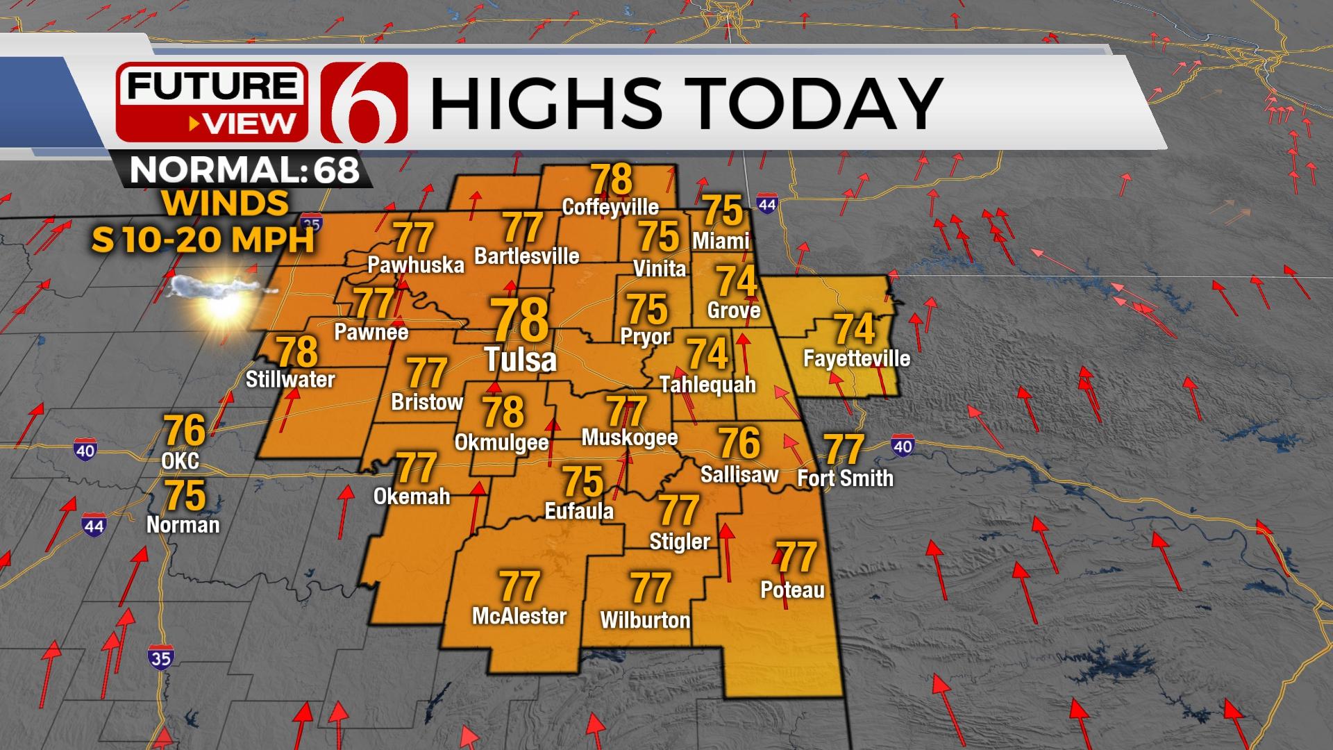
Temperatures will rise quite a bit with afternoon highs reaching the upper 70s and lower 80s near the metro and into the lower or even mid-80s across far southeastern OK. Depending upon exact cloud cover and surface winds, the Tulsa metro could to near 84. Temperatures will begin cooling down later tonight with gusty north winds but dry conditions. The front will reside south of the Red River Friday morning as the next upper level impulse moves near the state bringing rain and some thunder back across the state from the southwest to northeast by Friday afternoon and evening, including the Tulsa metro. Temperatures Friday will be much cooler with lows in the lower to mid-40s and highs only in the mid-50s. Southeastern to southcentral OK may experience rain around midday while the metro chances will arrive between 4pm and 6pm and continuing into the evening hours. Some elevated instability may occur, and thunder will be mentioned, but no severe weather threats will occur Friday.

Some showers will continue through the first part of Saturday before exiting the area by midday or afternoon. I'm still not exactly confident on the placement of some important surface features Saturday and this lowers my confidence in the Saturday maximum temp forecast. If the front remains south, we'll be in the upper 40s or lower 50s for highs. If the boundary is near the I-40 corridor, we may reach the lower to mid-50s. If the boundary is near the metro, we could be near 70. I continue to favor the cooler readings and will stick with highs in the lower 50s along with east winds for the afternoon.

We 'll get a break Sunday for most of the day with highs nearing 60, but by afternoon and evening yet another in a series of upper level systems will be nearing the area resulting in unsettled and wet weather for several days next week. Unseasonably moist conditions are likely that may lead to some flooding concerns, more so across east-central to southeastern OK early next week.

Rain and thunder chances will arrive Monday morning, and again late Monday night exiting early Tuesday. Most of Tuesday, after the morning hours could be dry. Yet another system arrives late Tuesday night into Wednesday, and possibly again Thursday. Buckle up.
Thanks for reading the Thursday morning weather discussion and blog.
Have a super great day!
Alan Crone
More Like This
March 12th, 2020
November 30th, 2022
November 1st, 2022
August 26th, 2022
Top Headlines
December 11th, 2024
December 11th, 2024
December 11th, 2024
December 11th, 2024


