Sunny Sunday As Mild January Weather Continues
Soak up the sunshine! We’ll have plenty of it on what’s shaping up to be a gorgeous Sunday.Sunday, January 5th 2020, 9:57 am
Soak up the sunshine! We’ll have plenty of it on what’s shaping up to be a gorgeous Sunday.
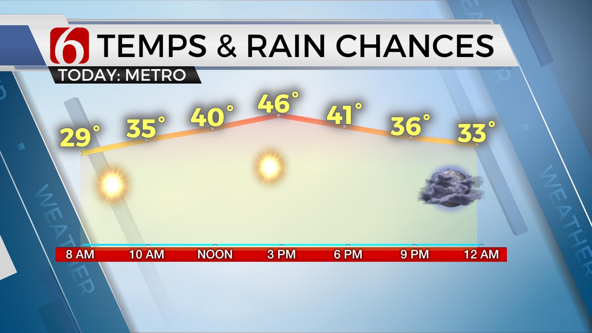
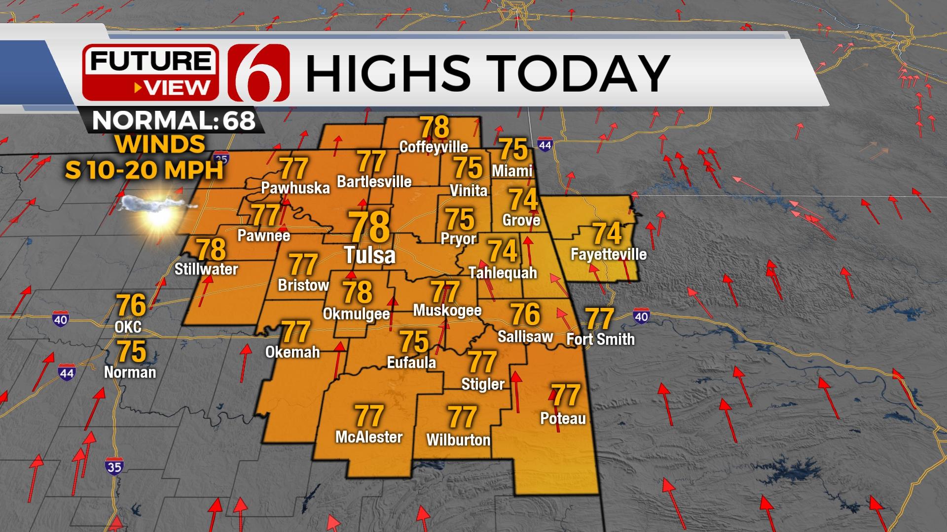
Our recent trend of well above normal temperatures will continue for yet another day. Our Sunday warm-up will be a fast one with highs by early afternoon soaring up to 60 degrees!
The only drawback to our spectacular Sunday will be the wind. North winds will quickly jump into the 20 to 25 mile per hour range by lunchtime and early afternoon, and with dry air, in place, this will lead to elevated fire danger. Try to hold off on any big outdoor burning plans if you can!
Temperatures will trend down slightly to kick off the workweek, but once again we’ll still be holding above seasonal averages. Winds will be much lighter on Monday with mostly sunny skies and highs in the mid-50s. It’ll be more of the same on Tuesday as well with sunshine and highs in the upper 50s.
Fire danger will be a big concern on Wednesday as very gusty south winds return. We could be dealing with wind gusts of 35 to 40 miles per hour on Wednesday, and those strong winds will likely stick with us into much of Thursday as well.
Those strong winds by mid-late week are a sign of things to come as a precursor for a strong storm system that looks to impact Green Country by the end of the week. Rain and thunderstorm chances will arrive late Thursday into Friday, along with much chillier (and more seasonable) January temperatures by the end of the week.
I hope you have a great Sunday, Green Country! You can follow me on Twitter @StephenNehrenz as well as my Facebook page Meteorologist Stephen Nehrenz to stay up to date with the very latest!
More Like This
January 5th, 2020
November 30th, 2022
November 1st, 2022
August 26th, 2022
Top Headlines
December 14th, 2024
December 14th, 2024
December 14th, 2024
December 14th, 2024


