Chilly Start Before Warmer Temperatures Return To Green Country
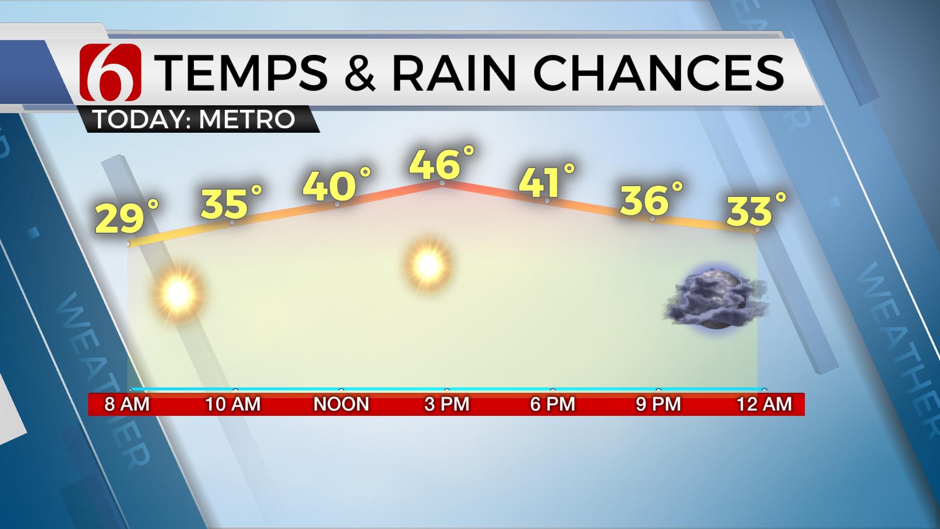
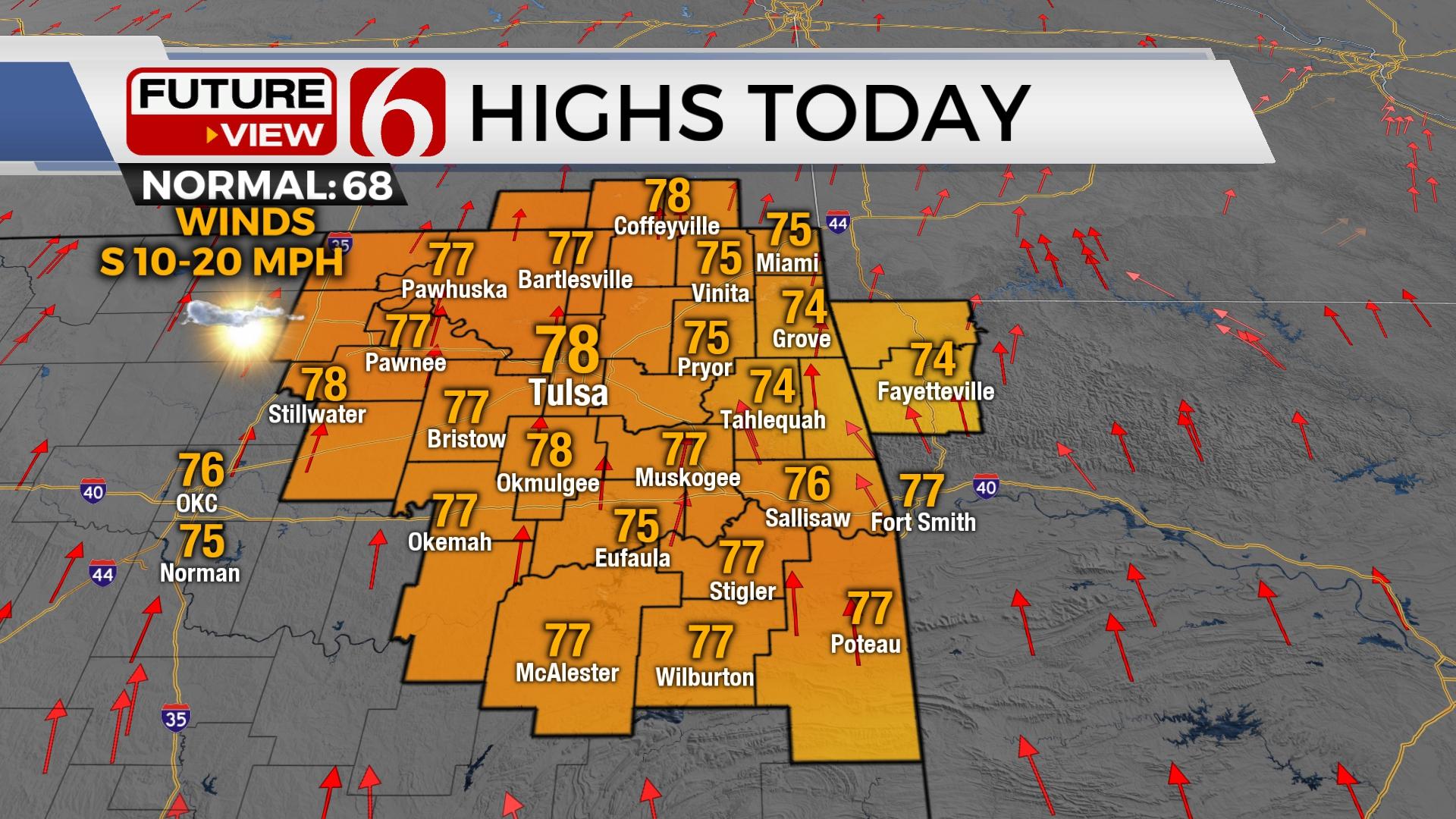
Chilly weather is underway early this morning before some improvement arrives later today through Thursday with highs reaching the 60s this afternoon and lower 70s Thursday.Wednesday, April 15th 2020, 2:17 am
Chilly weather is underway early this morning before some improvement arrives later today through Thursday with highs reaching the 60s this afternoon and lower 70s Thursday. Our next shot of a few showers or storms will arrive late Thursday night into Friday morning, mostly across far northern OK and southern Kansas, but we’ll also have chances near Tulsa. By the time our window arrives for our immediate area, this activity appears to be post-frontal (on the cool side of a boundary) and will limit the chance of severe weather to a small mention of small hail with stronger cores. Basically, some shower activity with thunder will remain possible with the system into early Friday morning. This boundary should also move southward bringing another one-day cool down with highs Friday staying in the lower to mid-50s. South winds will quickly return late Friday night as our next storm system rapidly drops across the plains into the weekend.

The moisture return, while noted in some model data, may not be fast enough nor deep enough to sustain a severe weather threat for the area this weekend, but a few strong to severe storms can’t totally be ruled out across far southern OK or northeast Texas due to the inconsistencies in some data. The active northwest flow will drop one more wave southward into the central plains Thursday into Friday while the southern branch churns out a small yet stout disturbance arriving by the weekend The bottom line, we’re keeping some limited shower and storm chances in the forecast beginning Saturday evening and exiting quickly Sunday morning. At this point, any strong to severe storms will be centered to our south, and probably more so across Texas.

By the middle of next week, warmer weather will be arriving across the southern plains along with a few days of southerly surface flow as the upper air pattern transitions from the northwest to southwest. This will eventually bring storm chances into the region, probably around Wednesday. And, unfortunately, this pattern will more than likely produce severe weather across part of the plains and the southeastern U.S for the middle of the week. EURO data is slower with the system and slightly south while the GFS is faster and more north. Both sets of data would bring thunderstorm chances back to our area by at least Wednesday. Stay tuned.
Thanks for reading the Wednesday morning weather discussion and blog.
Have a super great day!
Alan Crone
More Like This
April 15th, 2020
November 30th, 2022
November 1st, 2022
August 26th, 2022
Top Headlines
December 14th, 2024
December 14th, 2024
December 14th, 2024
December 14th, 2024


