Tuesday Bringing More Summer Heat And Pop-Up Storms To Eastern Oklahoma
Tuesday Bringing More Summer Heat And Pop-Up Storms To Eastern OklahomaTuesday, June 16th 2020, 7:24 am
The heat continues, but a few lucky folks could get a cooling downpour in the days ahead.
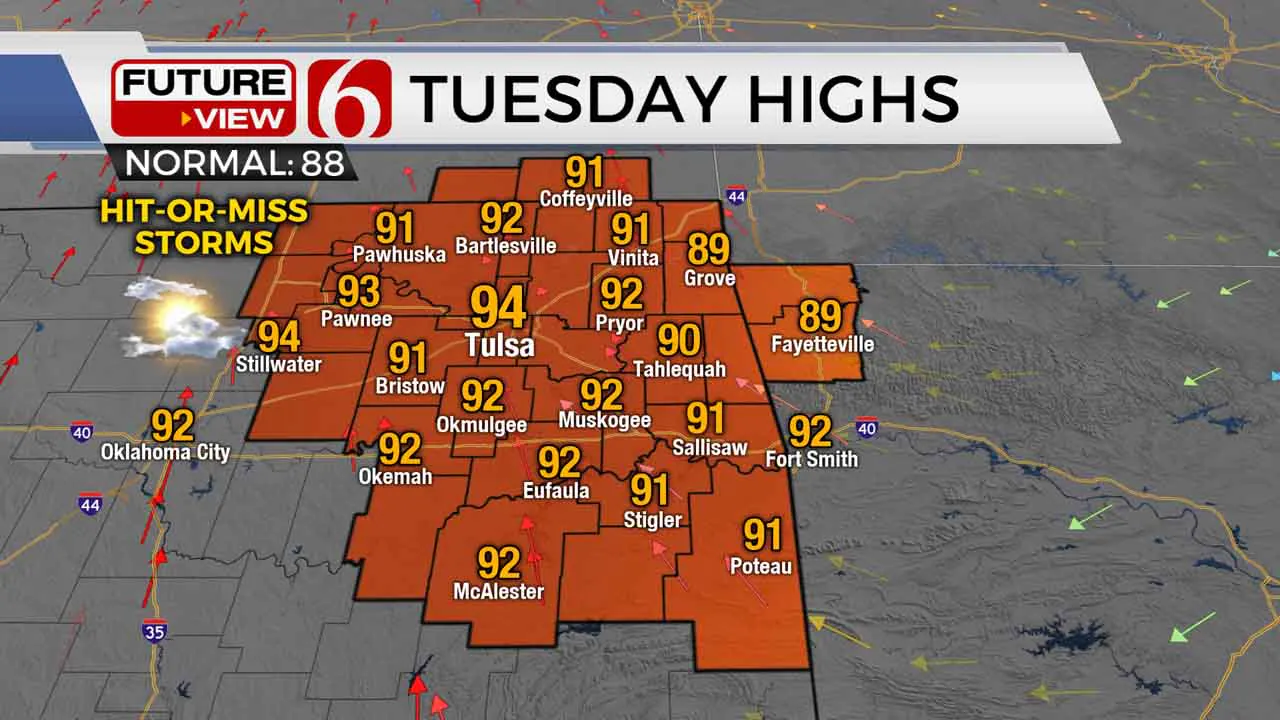
Once again, our overall weather pattern is nearly rinse-and-repeat of the past several days. Expect some sunshine, another muggy morning, and another toasty afternoon for our Tuesday. Highs will climb back into the lower 90s today with a south breeze.

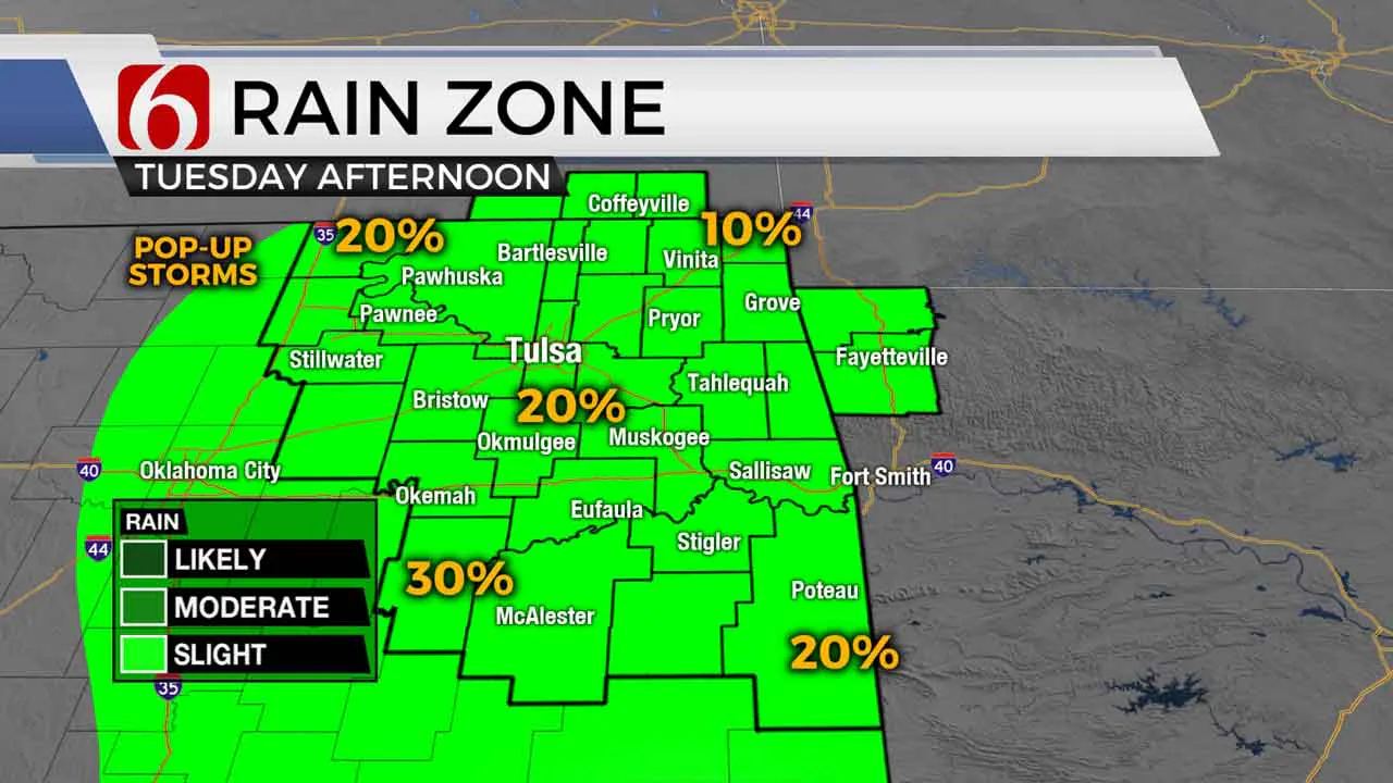
Scattered “pop-up” variety thunderstorms are expected to flare up across eastern Oklahoma during the afternoon and early evening hours. Many will still miss out, but just keep an eye out during outdoor plans with some brief heavy downpours and a lightning threat. We’ll pretty much do it again on Wednesday. Once again expect some sunshine, a muggy morning, and a hot afternoon with highs back in the lower 90s. An isolated rogue downpour could pop back up Wednesday afternoon, though the chance looks a bit lower than today.

As we head toward the end of the week and into the weekend, our weather pattern will try to get slightly more unsettled as the upper level ridge that’s brought us hot and mainly dry weather starts to break down. Some leftover morning storms may impact parts of Green Country on Friday and Saturday, with potentially a better chance of more organized storms by the end of the weekend. We’re starting to dry out very fast, so we could certainly use a drink of water! We’ll keep you updated.
I hope you have a great Tuesday, Green Country! You can follow me on Twitter @StephenNehrenz as well as my Facebook page Meteorologist Stephen Nehrenz to stay up to date with the very latest!
More Like This
August 8th, 2023
July 4th, 2023
May 8th, 2023
Top Headlines
December 13th, 2024
December 13th, 2024
December 13th, 2024
December 13th, 2024


