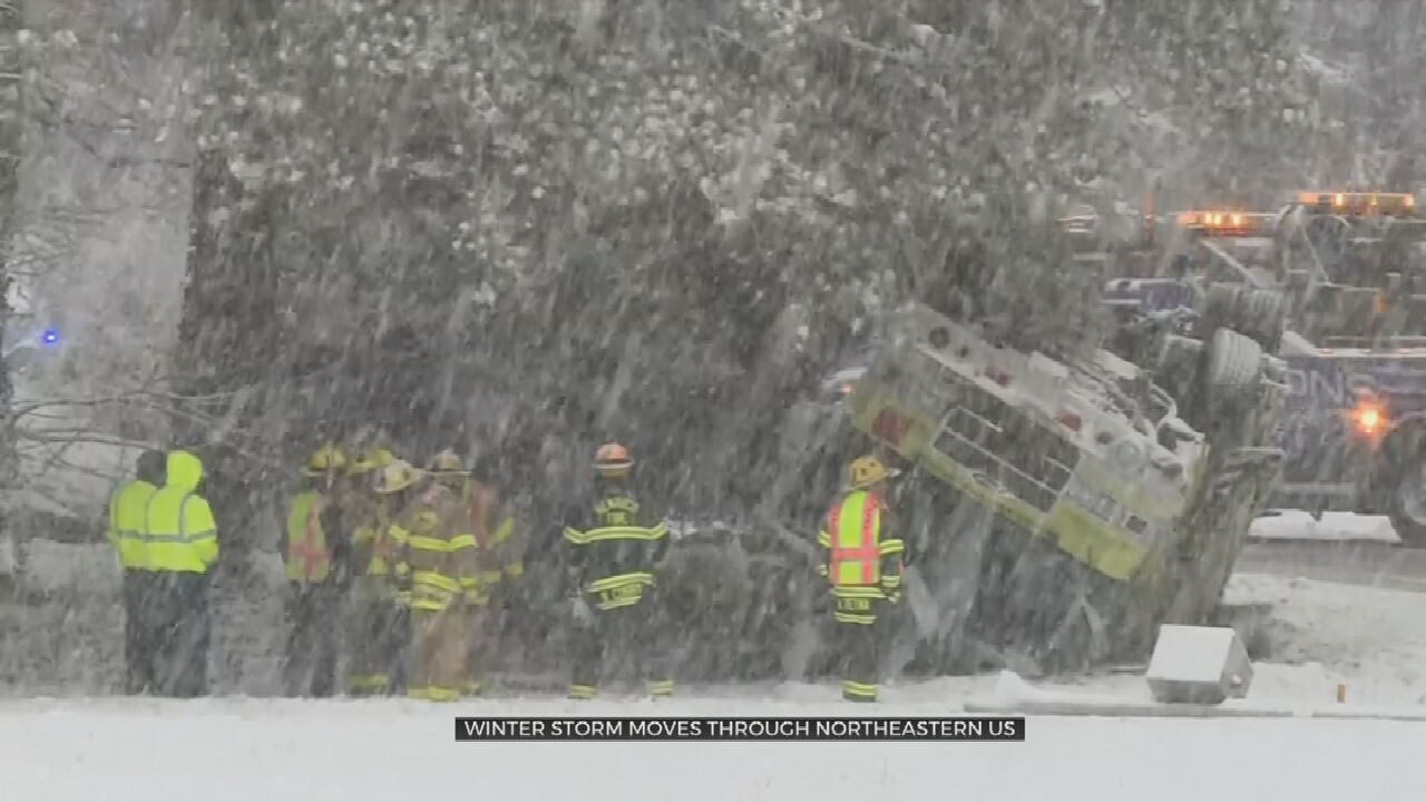
Major Storm Hits Northeast, More Than Foot Of Snow Forecast
The storm that slammed California with up to 15 inches of rain and more than 100 inches of snow before dumping a foot of snow on the Midwest is now hitting the Northeast. And, as it did in California, the system will stall out, burying cities of the Northeast under their biggest snowfall in years. The storm was impacting just shy of 80 million people Monday morning, with advisories and warnings posted from Tennessee to Maine, CBS weather producer David Parkinson reported. Officials in PhiladelpTuesday, February 2nd 2021, 5:50 am
The storm that slammed California with up to 15 inches of rain and more than 100 inches of snow before dumping a foot of snow on the Midwest is now hitting the Northeast. And, as it did in California, the system will stall out, burying cities of the Northeast under their biggest snowfall in years.
The storm was impacting just shy of 80 million people Monday morning, with advisories and warnings posted from Tennessee to Maine, CBS weather producer David Parkinson reported.
Officials in Philadelphia issued a "snow emergency" while New York City and New Jersey have declared a state of emergency on Sunday night.
It had dropped over a foot of snow outside Chicago and 3-4 inches on Philadelphia and Washington, D.C., and Baltimore, Parkinson said.
The bulk of the storm will take through the afternoon into the evening, Parkinson forecast, with occasional snowfall rates of 2 inches per hour. When all is said and done, Philadelphia will likely have just short of a foot of snow, with 14-16 inches in New York and up to two feet in nearby regions of New Jersey, Pennsylvania and upstate New York, such as the Poconos, Lehigh Valley, Orange County, New York and the Catskills.
Blizzard conditions seemed highly unlikely, Parkinson added, but visibility will be extremely poor at times as winds gust above 30 mph. Power outages seemed certain.
The reason for the storm's slow movement is a very "blocky" pattern across the Northern Hemisphere associated with a natural phenomenon called a sudden stratospheric warming, combined with the warming effects of climate change, which have thrown the Arctic and Polar areas off-kilter. This can cause the steering pattern to slow down and storms to stall.
This blocky pattern has caused a traffic jam of sorts which is causing storms to stall and wreak havoc, as this same system did when it walloped California. The storm will now stall again, turning what could have been a 24-hour event into a two- to three-day haul. That means locations like New York City will see 48 hours of snow — at times steady and heavy, at others light and intermittent.
During the day on Monday, a very heavy band of snow and wind will settle on top of Long Island, coastal Connecticut, New York City, New Jersey, the lower Hudson Valley and eastern Pennsylvania. The band will be energized by a long fetch of east to northeast winds funneling moisture into a sub-freezing air mass.
As time goes by, the snow will spread north into New England, reaching Hartford, Providence and Boston during the late morning and afternoon. The snow will fall heavily at times through the evening. From eastern Long Island to southeast New England, winds will gust over 60 mph, with Cape Cod possibly seeing gusts of 75 mph.
The strong and prolonged fetch of ocean winds will stir up seas over 10 feet and pile water up against the coast. Two feet of coastal flooding is possible along the New Jersey shore, with 2 to 3 feet in eastern Long Island and Cape Cod. This will cause roads to be impassible and inundate homes. The winds will likely result in scattered power outages.
Meanwhile, along the immediate coast from New Jersey to Long Island and Southeast New England, warmer ocean air will spiral in on Monday night. This will cause the snow to mix with sleet and rain, limiting coastal totals to some degree.
The storm will wind down late Tuesday and Wednesday as the block finally eases and the storm moves out to sea. But snow showers will linger Tuesday into Wednesday morning.
First published on January 31, 2021 / 2:55 PM
© 2021 CBS Interactive Inc. All Rights Reserved.
More Like This
February 2nd, 2021
December 2nd, 2024
November 30th, 2024
October 25th, 2024
Top Headlines
December 14th, 2024
December 14th, 2024
December 14th, 2024
December 14th, 2024


