Another Rainy Day Likely, Warm Humid Weather Sticks Around
Another rainy and warm Thursday is ahead, some storms could enter the area by middayThursday, May 20th 2021, 8:40 am
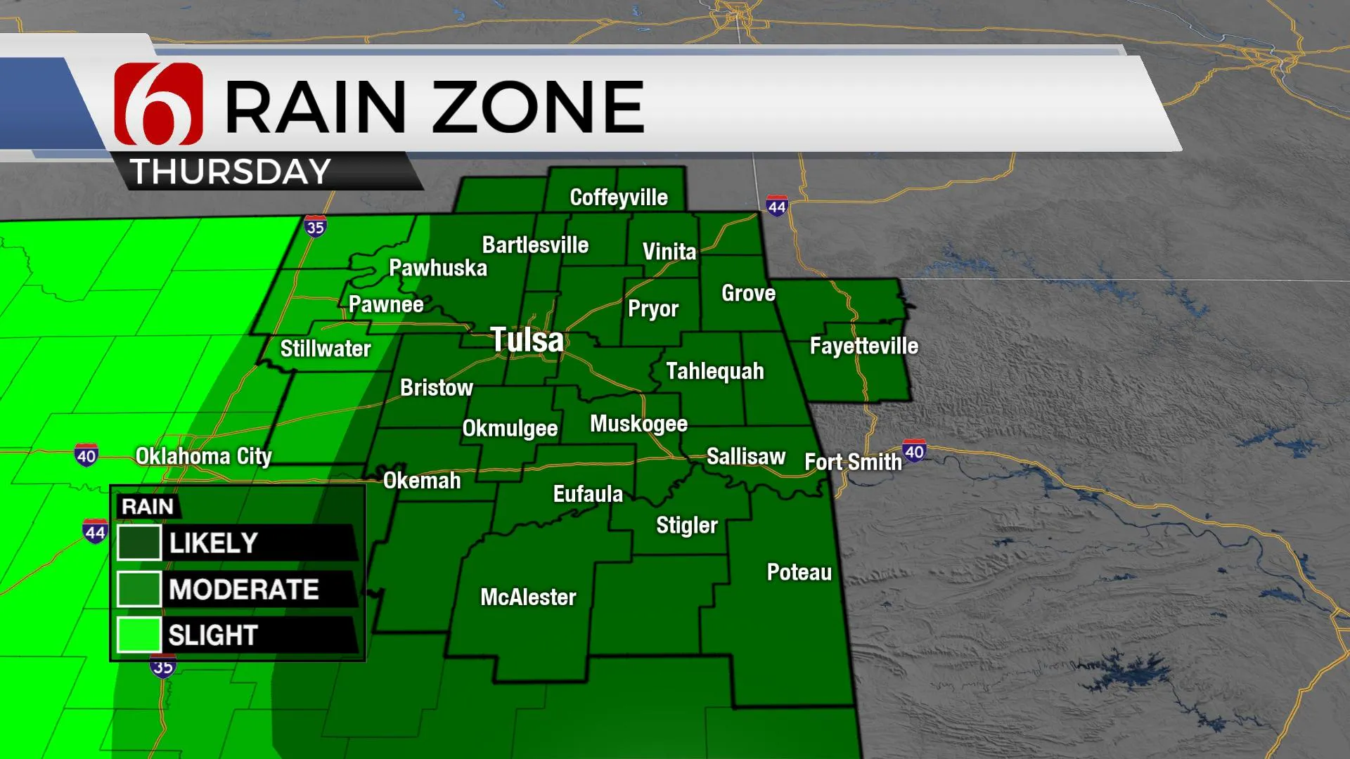
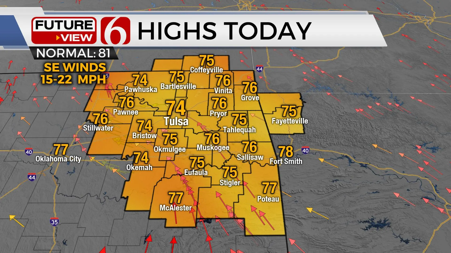
More rain is likely today with highs in the lower 70s. The pattern slowly changes over the next few days, but warm and humid weather remains.
One of the ‘wild-cards’ for today’s forecast involves the potential for another convectively induced area of vorticity to move from north TX into Eastern OK later today. This disturbance developed last night from storms across the Lone Star State. As this feature moves northward into northeastern OK, additional showers and storms will be likely today. I’m always hesitant to rule out a few isolated severe storms in this type of moisture-laden environment as a vort-max moves across the area. Low-topped cells can do strange things with enough moisture and spin in the atmosphere. We’ll be watching for any signals for a rotating low-topped cell that could produce a brief tropical-like tornado. Please keep in mind, this is a low, conditional probability as instability is expected to remain low.

Temps this afternoon will be mostly in the lower 70s, but outside of the shower and storm zone, highs could reach the mid to upper 70s. The pattern slowly changes some this weekend as a mid-level ridge of high pressure develops to our east and will have some minor influence across the eastern third of Oklahoma.

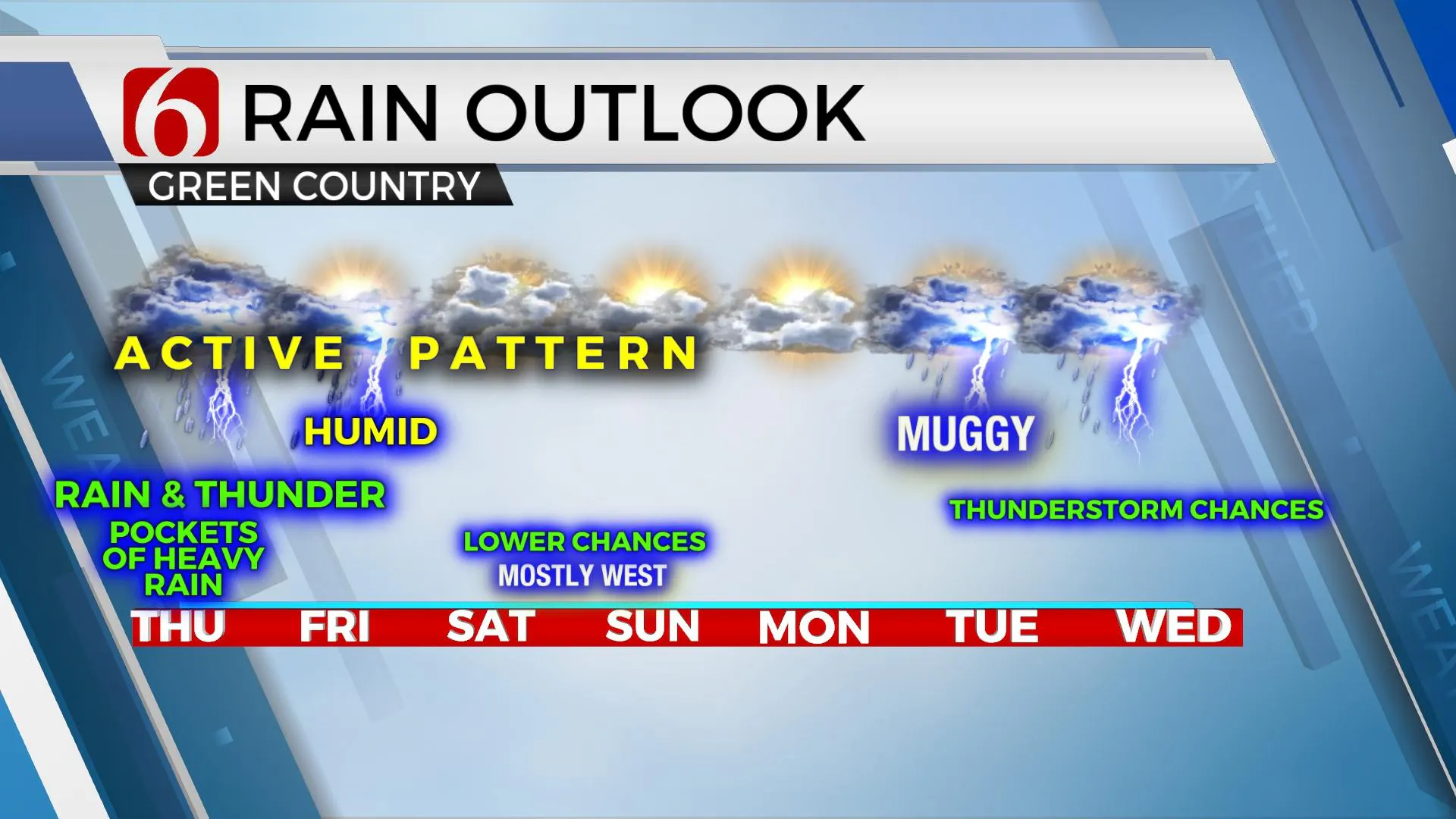
This ridge will keep the far eastern areas mostly dry, while locations near and west of the metro may continue to dodge a few showers or storms Friday into the weekend. Another strong-looking upper-level trough will drop down across the west coast this weekend but will quickly eject northward into the northern high plains early next week. The ridge will be moving southeast by Tuesday and Wednesday. The upper flow will bring a few disturbances from the base of the main western trough across the central plains and additional storm chances, including mentions for a few strong to severe storms will be possible.
Temps this weekend should start in the mid to upper 60s with afternoon highs reaching the lower 80s, possibly into the lower to mid-80s early next week. A very robust low-level moisture field will keep muggy weather nearby for the early part of next week with increasing storm chances Tuesday through the end of next week, possibly extending into next weekend.

Thanks for reading the Thursday morning weather discussion and blog.
Have a super great day!
Alan Crone
KOTV
If you’re into podcasts, check out my daily weather update below. Search for NewsOn6 and ‘Weather Out The Door’ on most podcast providers, including Apple, Stitcher, Tune-In and down below on Spotify.

More Like This
May 20th, 2021
February 14th, 2022
January 26th, 2022
January 25th, 2022
Top Headlines
December 13th, 2024
December 13th, 2024
December 13th, 2024
December 13th, 2024


