

Tracking April Showers, Storms Through Oklahoma
A cold front and upper-level system brings scattered showers and storms across part of the area this morning, later Monday afternoon, and for part of Monday night.Monday, April 4th 2022, 7:00 am


TULSA, Oklahoma -
A cold front and upper-level system brings scattered showers and storms across part of the area this morning, later Monday afternoon, and for part of Monday night.
A few locations of locally heavy downpours will remain possible across the northern sections this morning with stronger cells producing small hail and gusty winds. Most severe weather threats should remain across far southeastern Oklahoma and areas south into north Texas later Monday night.
Temperatures this morning will start in the mid-50s as a cold front moves south of the metro before stalling. This boundary will keep afternoon temps near and north of the front in the lower 60s while locations south of the front will move into the lower 70s. We may see a small break in precip midday before additional showers and storms redevelop into the afternoon and evening. As the current upper-level system exits the area late tonight and early Tuesday, most of the showers and storms will depart southeastern Oklahoma and northeast Texas late Monday. Tuesday morning temps start in the 50s and will reach the mid-70s with sunshine and southwest winds.
A strong upper-level low will drop across the northern High Plains and bring another fast-moving cold front into the area late Tuesday night and early Wednesday. This may bring a few spotty showers early Wednesday, but greater impacts will be gusty north winds and cooler weather. Temperatures Wednesday morning will start in the mid to upper 40s and reach the middle-upper 60s for the afternoon with gusty northwest winds. Most of the chilly weather will be felt Thursday and Friday with morning lows in the 40s and daytime highs in the upper 50s and lower 60s. Pressure gradient winds from the northwest at 20 to 35 mph will be possible during this period. Low humidity and mostly dormant vegetation will create another elevated fire spread rate during this period.
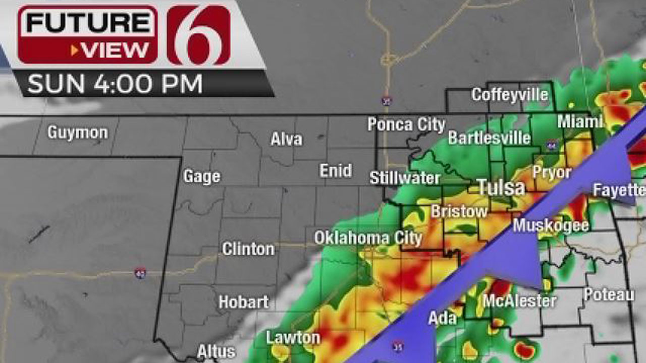
So far, our weekend looks pleasant. Morning loads will drop in the 30s Saturday morning and daytime highs should reach the upper 60s Saturday with southwest winds. Sunday features highs near 80 with gusty south winds. Shower and storm chances will return early next week.
Thanks for reading the Monday morning weather discussion and blog.
Have a super great day!


Get The Daily Update!
Be among the first to get breaking news, weather, and general news updates from News on 6 delivered right to your inbox!
More Like This

April 4th, 2022
April 24th, 2022

April 24th, 2022
April 16th, 2022
Top Headlines
December 11th, 2024

December 11th, 2024

December 11th, 2024

December 11th, 2024