Morning Storms Possible For Parts Of Green Country
Early morning storms are possible for parts of Green Country on Wednesday as a cold front moves across the state.Wednesday, April 13th 2022, 8:17 am
TULSA, Oklahoma -
Early morning storms are possible for parts of Green Country on Wednesday as a cold front moves across the state.
Here are the details from News On 6 Meteorologist Alan Crone:
Related Story: Strong Thunderstorms Move Across Parts Of Northeast Oklahoma

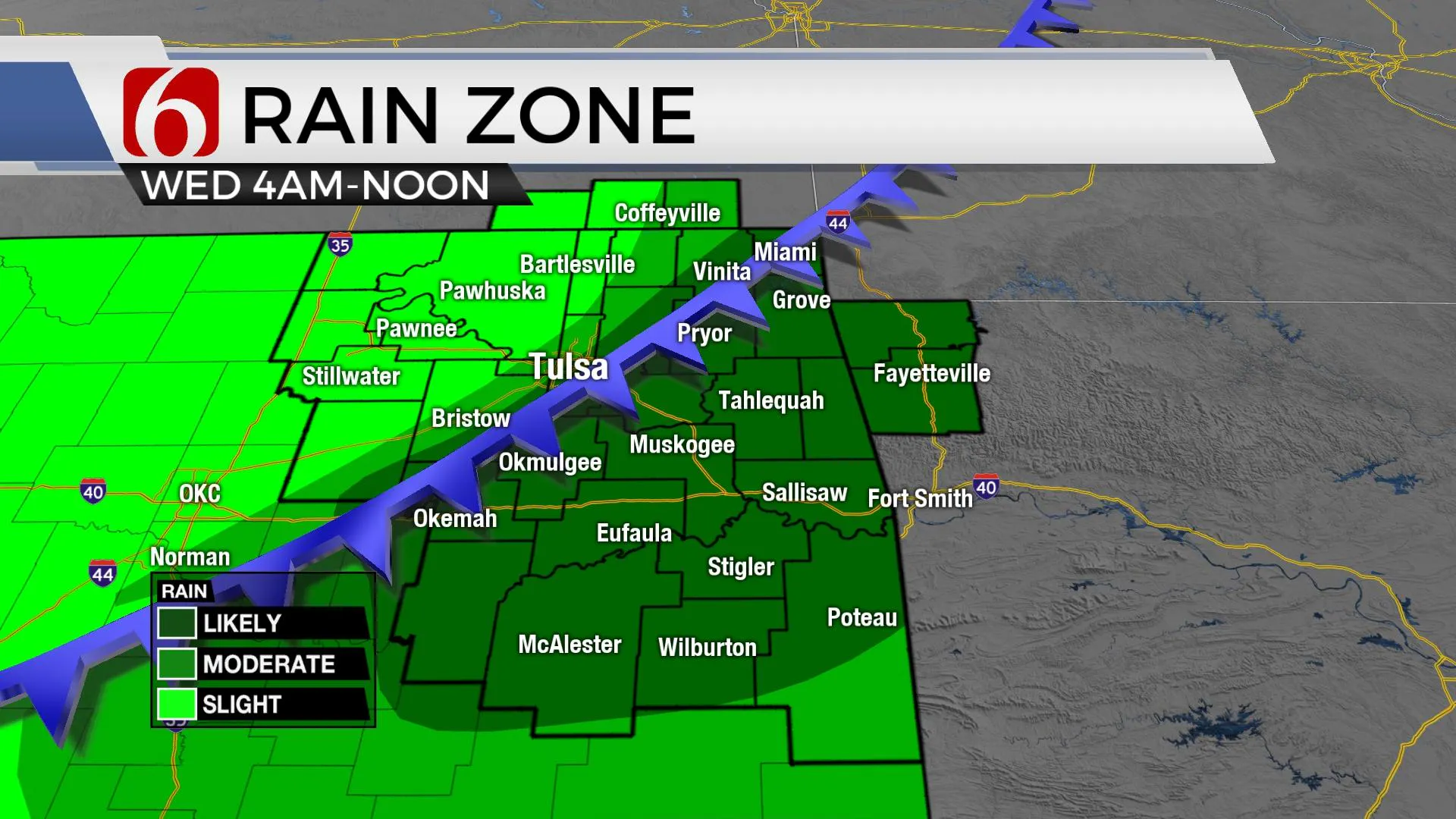
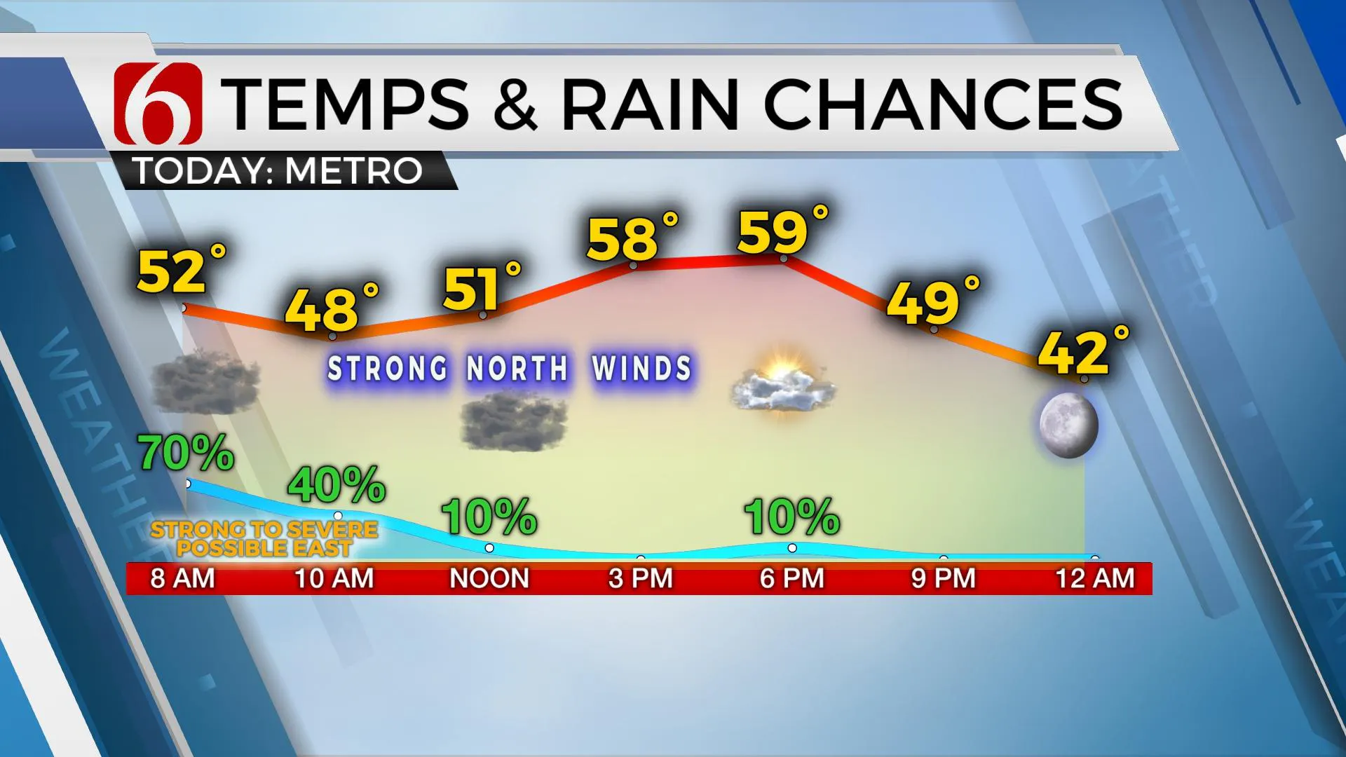
A strong cold front moves across the area Wednesday morning bringing a chance for showers and storms near and behind this front across northeastern OK. As the boundary sinks southeast early Wednesday morning, the chance for storms to form on or ahead of the boundary will occur with a slightly better chance for a few strong to severe storms. This threat will remain mostly across the eastern areas, along and east of Highway 69 until noon when the front should advance out of the area. Postfrontal temps will drop into the lower 50s Wednesday morning, rebounding into the upper 50s and lower 60s this afternoon with partly sunny sky. Northwest winds from 20 to 30 mph will remain for most of the midday before diminishing later tonight. Clearing sky and light winds will allow Thursday morning lows in the mid to upper 30s. Some frost is possible in a few valley locations. Thursday afternoon highs will reach the upper 60s and lower 70s with sunshine and southwest winds at 10 to 15 mph. Another system nears the state Friday into the weekend bringing shower chances and cooler weather.

Friday afternoon highs will reach the mid to upper 70s with another strong south wind from 15 to 30 mph. A strong cold front should near the area by late evening or early Saturday morning bringing a slight chance for a few showers or storms by late Friday night or pre-dawn Saturday. The front will move southward Saturday morning and temps will more than likely drop into the 50s, possibly even the upper 40s, with north winds at 15 to 30 mph. We’ve made some adjustments to this period already below model guides and we still may not be cool enough for this update. Easter Sunday starts with lows in the mid-40s and maxes with highs in the mid-60s with a slight chance of showers before another strong front arrives Sunday afternoon and evening. This brings gusty north winds Monday with afternoon highs in the 60s.
Thanks for reading the abbreviated version of the morning discussion and blog
Have a super great day!
Alan Crone
More Like This
April 13th, 2022
June 21st, 2023
June 19th, 2023
June 13th, 2023
Top Headlines
December 13th, 2024
December 13th, 2024
December 13th, 2024
December 13th, 2024


