Another Pattern Change Brings Windy & Warm Weekend Weather
A significant freeze is underway this morning, especially in the eastern third of the state, where morning temps will drop into the lower and mid-20s. Alan Crone gives us a full breakdown of what to expect for the rest of the week.Wednesday, October 19th 2022, 6:44 am
TULSA, Okla. -
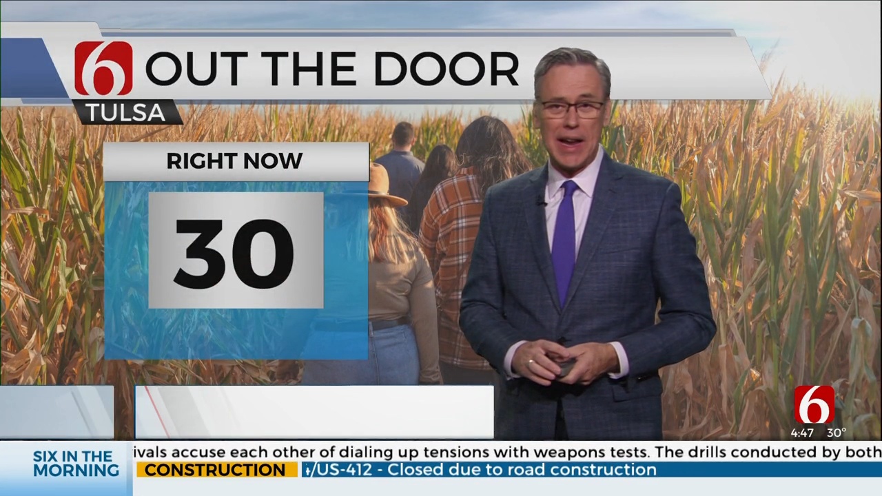
A significant freeze is underway this morning across most of central to eastern Oklahoma, and especially the eastern third of the state, where morning temps will drop into the lower and mid-20s.
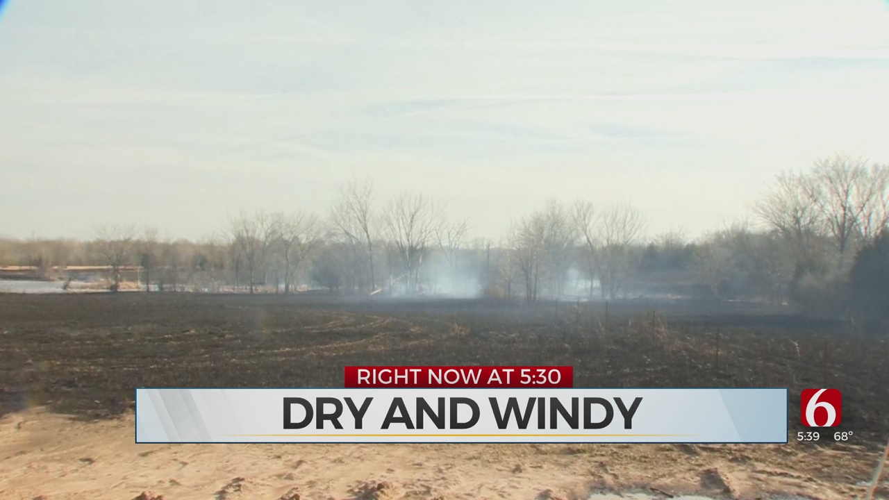
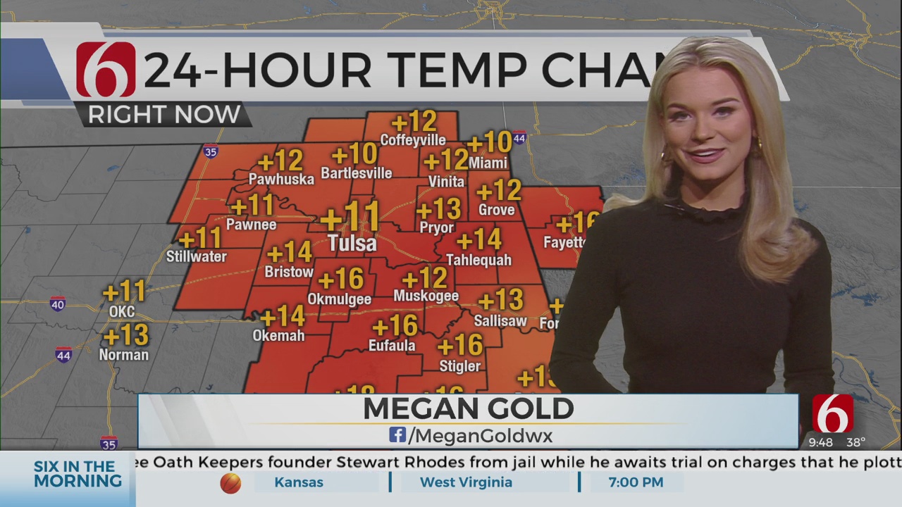
A few valley locations will dip into the teens before the airmass quickly warms with afternoon highs reaching the lower 60s and upper 50s. A Canadian ridge of high pressure, centered near our area this morning, will migrate away from the area this afternoon as the upper air pattern changes into the weekend. This brings another robust warming trend with afternoon highs reaching the upper 70s Thursday and back into the mid-80s this weekend. Gusty and strong southwest winds are likely to develop Friday and increase speeds into the second half of the weekend. Wind advisories will be required at least Sunday, and possibly Saturday with southwest winds from 25 to 45 mph by Sunday. Before low-level moisture returns across the area, fire danger issues will quickly return.
A big pattern change occurs this weekend as the Great Lakes trough moves east and a new trough arrives across the pacific northwest. A strong surface pressure gradient develops this weekend with the gusty winds and much warmer weather arrives. Fire danger spread rates will once again increase across the state with increasing fire danger threats before our next storm system brings storm chances into the area late Sunday night into early next week.
We continue to watch early next week as a surface cold front enters the state Monday. The question remains as to the extent and quality of the low-level moisture return. The potential for scattered storms should arrive during this period but questions continue regarding the exact scenario as the system may approach the area in two distinct waves. The first one arrives in the northern stream early Monday and the other in the southern stream Monday evening. Strong dynamic energy is likely with this system near and north with deeper moisture streaming from south Texas into at least central Texas. We’ll continue with a slight probability for storms late Sunday into Monday morning, and better chances Monday afternoon and evening, mostly across southeastern Oklahoma. Afternoon highs Monday will range in the lower to mid-70s. As the front moves east, afternoon highs should drop into the 60s Tuesday and into the upper 50s Wednesday as an upper-level trough moves over the state.
Thanks for reading the Wednesday morning weather discussion and blog.
Have a super great day!
Alan Crone - KOTV
More Like This
October 19th, 2022
February 20th, 2022
February 19th, 2022
February 13th, 2022
Top Headlines
December 10th, 2024
December 10th, 2024
December 10th, 2024
December 10th, 2024


