Storm Chances Before A Taste Of Summer
Showers and storms return to Green Country on Thursday before warm and sunny conditions arrive for the weekend.Thursday, May 4th 2023, 5:50 am
If you’re into podcasts or in a rush, check out my daily weather update. Search for NewsOn6 and ‘Weather Out The Door’ on most podcast providers, including Spotify, Stitcher and Tune-In, or Click Here to listen on Apple Podcasts.
TULSA, Okla. - Showers and storms return to Green Country on Thursday before warm and sunny conditions arrive for the weekend.
Here are the details from News On 6 Meteorologist Alan Crone:
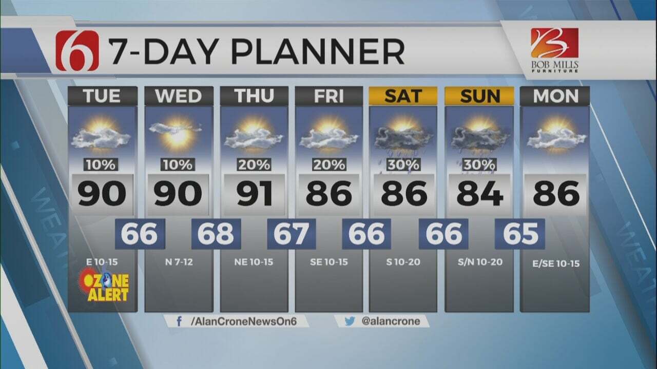
Scattered showers and storms will be possible, even likely in a few spots on Thursday morning before additional chances arrive later on Thursday afternoon and evening. A few of the storms could be strong or severe, with most of the severe chances this evening. This system will exit the area pre-dawn Friday bringing unseasonably warm and humid weather Friday through the weekend. Daytime highs will be in the upper 80s and lower 90s Friday and Saturday along with gusty south winds from 15 to 25 mph. A chance for a few scattered storms will also remain this weekend into next week. The unsettled weather pattern will occasionally bring severe weather threats due to the increased moisture and anticipated instability. Highs today will reach the lower to mid-70s with gusty south winds from 15 to 25 mph.
Scattered storms are underway this morning in a few locations. A decaying complex of storms moving from western Oklahoma may persist nearby for the morning hours into the eastern part of the state with enhancement from a low-level jet. These storms will mostly be sub-severe, but a few could produce small hail and heavy downpours. These storms should gradually weaken later this morning. The morning to midday activity will spread clouds across the area through the afternoon. This may keep instabilities lower across the eastern sections while slightly higher instability resides near or west of the metro this evening.
This afternoon as the main upper-level low to our west begins ejecting into the Rockies and central plains, a disturbance rounding the base of this system arrives from the southwest. A surface low will develop across SE Colorado into Southwestern Kansas with a dryline sharpening across far western Oklahoma. Scattered storms will develop in a few spots across northern OK by afternoon and early evening with additional storms likely along and ahead of the dryline in western OK. The scenario remains complex. If more storms develop across northeastern OK before the dryline storms, this may keep some of the higher threats of severe weather slightly west or even south due to anticipated cloud cover. Fewer storms this afternoon would allow a greater likelihood of severe storms moving from the western and central sections into northeastern OK by evening. Any discrete supercells would be capable of very large hail, damaging winds, and even tornadoes, mostly to the west of our immediate area. The main window for strong to severe, other than the morning storms, seems to be around 4 p.m. today until about 3 a.m. Friday morning. There remains an outside chance of a small complex of storms developing across southeastern Kansas around 2 a.m. Friday that could clip far northeastern OK, SW Missouri, and NW Arkansas.
As the system exits the area, breezy and unseasonably warm weather is likely with temperatures almost summerlike Friday through most of the weekend. A dry line is likely to be present this weekend across far western OK but with little upper-level support. Additional storms are possible ahead of the dry line Saturday afternoon and move eastward by early evening. A few additional storms may also develop along the Texoma valley. The lack of a significant upper-level forcing should limit the coverage and scope of these storms, but any storms that develop or move into part of the area this weekend would have severe potential. This pattern will remain for most of next week.
Thanks for reading the Thursday morning weather discussion and blog.
Have a super great day and please remain aware of your weather surroundings.
Alan Crone
KOTV
More Like This
May 4th, 2023
July 3rd, 2023
June 8th, 2023
June 6th, 2023
Top Headlines
December 12th, 2024
December 12th, 2024
December 12th, 2024


