Tracking The Return Of Shower Chances
Pleasant weather hangs around on Monday before shower chance return to Green Country.Monday, May 22nd 2023, 5:39 am
If you’re into podcasts or in a rush, check out my daily weather update. Search for NewsOn6 and ‘Weather Out The Door’ on most podcast providers, including Spotify, Stitcher and Tune-In, or Click Here to listen on Apple Podcasts.
TULSA, Okla. - Pleasant weather hangs around on Monday before shower chance return to Green Country.
Here are the details from News On 6 Meteorologist Alan Crone:
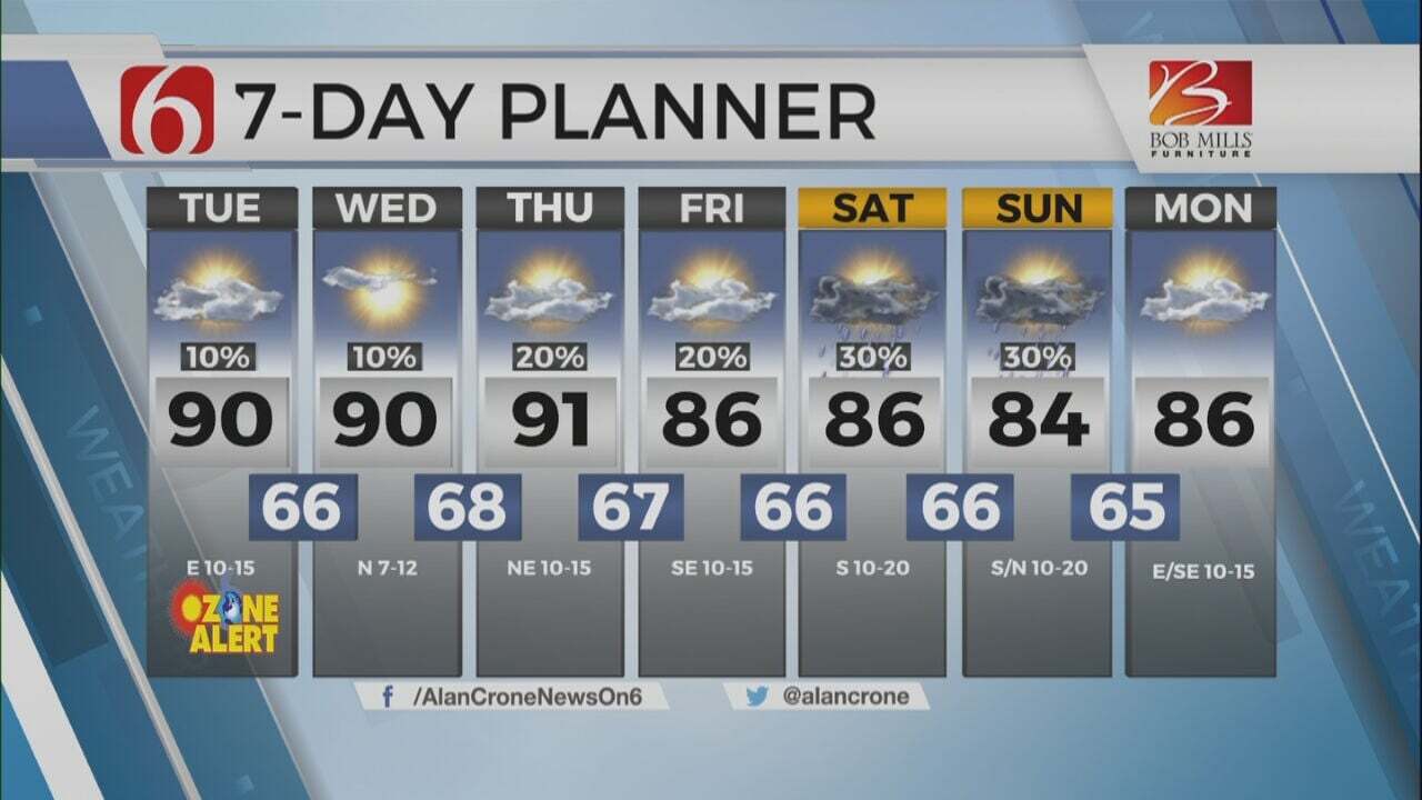
Temperatures and humidity will slowly increase over the next few days with more seasonal weather anticipated. Dry conditions will remain on Monday for the eastern half of the state, but scattered storms will be more numerous across western OK and the high plains of Texas. A few of these may track eastward later Monday night and Monday evening. Most will stay west of our immediate area. A few could sneak into the far western sections later Monday night into Tuesday. The best chance for showers and storms, at least for the short-term period, arrives on Wednesday. We’ll keep a slight chance for the latter half of the week and will continue at least some low-end chances into the Memorial Holiday weekend.
The upper air flow remains from the west to northwest in the short term and should be mostly weak for the next few days. The pattern attempts to change some by the latter half of the weekend with the upper air flow from the southwest. A mid-level ridge across the Midwest will keep the stronger systems mostly west of the eastern half of Oklahoma this weekend, but a few isolated to scattered storms will remain possible. The impact of any convective activity any given day could impact the potential for additional storm activity in the short period that follows as these systems usually deposit outflows or convectively induced areas of vorticity that can develop additional storms. In other words, what happens today could impact what happens tomorrow regarding storm chances.
Highs this afternoon will reach the upper 70s and lower 80s with some sun and cloud mix. Morning lows tomorrow will remain mild and mostly into the upper 50s and lower 60s. By the latter half of the period, morning lows will move into the lower to mid-60s with highs in the lower 80s. Low-level moisture is expected to return by the middle of the week resulting in the return of some typical, late May, slightly muggy weather.
Thanks for reading the Monday morning weather discussion and blog.
Have a super great day!
Alan Crone
KOTV
More Like This
May 22nd, 2023
July 3rd, 2023
June 8th, 2023
June 6th, 2023
Top Headlines
December 14th, 2024
December 14th, 2024
December 14th, 2024


