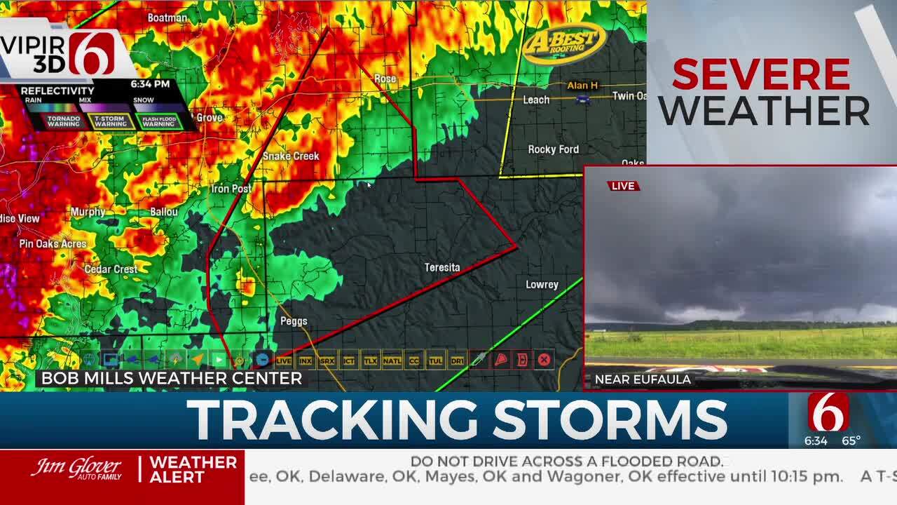
Rain & Storms & Cooler Air Soon
Update 2:47am.The pattern is changing today with rain and thunderstorm chances increasing across the state from the north to south. Pockets of moderate to heavy rainfall will be possible in some locations and some localized flooding issues may occur in a few spots.A few of the storms this morning could produce some gusty wind and hail. A few of the storms across southern OK later today could produce some gusty winds or small hail, but the threat of severe storms will also remain low. A second...Friday, October 10th 2014, 3:48 am
By:
Alan Crone
Update 2:47am.
The pattern is changing today with rain and thunderstorm chances increasing across the state from the north to south. Pockets of moderate to heavy rainfall will be possible in some locations and some localized flooding issues may occur in a few spots. A few of the storms this morning could produce some gusty wind and hail. A few of the storms across southern OK later today could produce some gusty winds or small hail, but the threat of severe storms will also remain low. A second system will arrive Sunday night into Monday morning with a higher likelihood of flooding rains across eastern OK. There may also be a severe weather threat for far southern OK and north TX Sunday night into early Monday.
The cold front is slowly moving southward this morning and will cross the Tulsa metro soon before stalling south of the metro for a few hours. Scattered showers and thunderstorms will be likely this morning along and behind the boundary with north winds across the northern third of the state. We may see midday break with additional showers developing later this afternoon and evening. Southern sections of the state may not see scattered storms until early afternoon. Temps will be in the upper 60s or lower 70s early this morning from Tulsa northward and fall into the lower 60s midday and the mid-50s by 5pm across the northern third of the state. The boundary may stall south of Tulsa from 10am to 2pm creating a broad range of temperatures from the 70s and 80s for a few hours today south of the metro before the front moves bringing cooler air into southern OK by late afternoon or early evening. Friday Night Football games will more than likely be wet and cool across eastern OK with north winds at 10 to 15 mph. Game time temps in the 50s will be likely.
The system will be moving eastward early Saturday morning with some additional rain or showers across the eastern third of the state through 10am to possibly the noon hour. Northwest winds with cooler air will prevail for Saturday afternoon with highs in the upper 50s or lower 60s. Saturday afternoon and evening will encounter a mini drying trend.
Sunday morning to midday should also remain dry, but late Sunday afternoon a strong upper level system will rapidly approach the area. A surface area of low pressure will develop across southwestern OK and southeast winds will attempt to bring significant low level moisture back into the state. This part of the forecast remains somewhat tricky. The current data support the deeper and significant low level moisture to remain southward Sunday afternoon and evening before moving northeast early Monday morning. Locations along the Red River Valley may be in a prime position for some severe weather Sunday evening for a few hours. If the moisture returns faster to the north, or the system slows down and doesn't move into the area until Monday midday to afternoon, some severe weather may occur further north and east across the state. At this point, our main weather concern will be heavy rainfall with flooding potential for eastern OK early Monday morning. Once the Monday system moves east will be in fine shape for the rest of the week with seasonal air and dry conditions.
Thanks for reading the Friday Morning weather discussion and blog.
Have a great day!
Alan Crone
KOTV
More Like This
October 10th, 2014
April 15th, 2024
April 12th, 2024
March 14th, 2024
Top Headlines
April 29th, 2024
April 28th, 2024
April 28th, 2024


