Warm Overnight Leads To Hot, Sunny Father's Day
Oklahoma Weather Forecast: Bookmark this page and refresh it often for the latest forecast and daily updates.Sunday, June 16th 2024, 7:44 am
OKLAHOMA CITY -
It will be hot and breezy as Father's Day weekend continues.
What is the weather like in Oklahoma this weekend?
Temps will max out in the low to mid-90s. The morning could be a bit cloudy.

There's a chance for rain or storms late Saturday into early Sunday morning in some parts of the state.

This afternoon it will be hot and sunny with little winds.

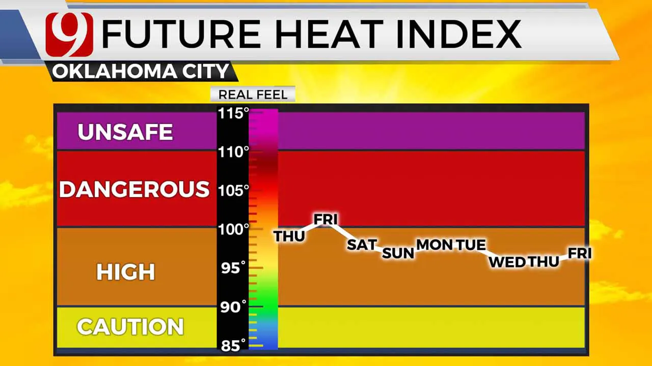
The heat and humidity are slowly building this week, and the Oklahoma wind will ramp up.

The next 7 days will be hot in the low 90s. Temps drop back into the 80s by mid-week.

PATTERN SHIFT COMING:
As we typically see, the main jet stream lifts north as we head into June. This is the main storm path, so Oklahoma's organized severe season will come to an end.
We can and will still get strong to severe storms, but the tornado risk goes way down.
Next week, the big ridge of high pressure known as the "heat dome" will appear. This puts us in the northwest flow of the jet stream, which sometimes means complex storms arrive from the High Plains.
These storms could be wind and hail producers. We will see. Eventually, the heat dome usually moves directly overhead, and we shut off the rain and we see our temps spike. This typically happens in July.
Follow our meteorologists!
More Like This
June 16th, 2024
June 16th, 2024
June 16th, 2024
June 16th, 2024
Top Headlines
June 16th, 2024
June 16th, 2024
June 16th, 2024
June 16th, 2024


