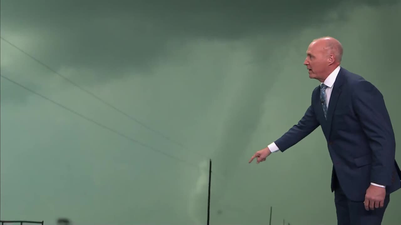
Storms Possible Tonight
We expect another hot day with highs in the upper 90s along with southwest winds at 15 to 30 mph. Storm chances will be increasing for later tonight. The mid level ridge axis is still located acrossTuesday, June 14th 2011, 5:17 am
We expect another hot day with highs in the upper 90s along with southwest winds at 15 to 30 mph. Storm chances will be increasing for later tonight.
The mid level ridge axis is still located across northern OK this morning but is weakening and will be moving southward soon. This will open the door for a frontal boundary to move southward later tonight bringing a round of storms to the region. Some of the storms may be severe with strong to severe wind gusts the primary threat.
The ridge will move south and will create a west to northwest flow aloft over northern OK for about 48 hours. Storms will form early evening across western OK and/or central Kansas and move into northern OK this evening. These storms should form a small cluster of storms ( MCS- mesoscale convective system) and will move from the west-northwest to the east-southeast around 40 mph. This is a very common occurrence in June, but this year the ridge has been to strong and to far north and we have had only one complex of storms in this fashion that occurred last Saturday evening into early Sunday morning. The early storms this evening may be severe with hail and high winds, but as the storms congeal into the complex, the wind damage potential may increase in some locations.
The 00NAM suggests the wind shift will be approaching around 10pm tonight for Tulsa, while the NSSl 4k WRF paints storms forming off the dry line to our west and moving into Tulsa around 10pm. The incoming 06NAM indicates the wind shift around 10pm to midnight, but doesn't really bring the front through the area until early Wednesday. The GFS may be the outlier with most of the MCS staying to our northeast.
Regardless...the chance of storms should move over northeastern OK from 9pm to 2am and then slide into southeastern or east central OK from 2am to 4am Wednesday.
The front Wednesday will be located across southern OK and this means our winds across northern OK will from the north with some "not as hot" air. Instead of upper 90s we should have a high near 90 Wednesday before the front moves back northward Thursday morning bringing more hot air and gusty south winds into the weekend.
Another precip signal is indicated in the data this morning regarding the Thursday evening period to our west. I will keep a 30% pop on the board for Thursday night into Friday morning, but the confidence is low at this point.
We did have a 20% pop across the board for Thursday afternoon through Saturday, and I still think there may be a few storms during these periods. But at this point, the cap or layer of warm air aloft may be too strong for upward development. I'll keep mentioning a few of these isolated storms but we'll keep the pop off the map for now.
The extended data does not bring the ridge back in full force next week and keeps OK on the northern end of the feature. A stout looking upper level system will be arriving around Tuesday or Wednesday and this will bring a chance of storms to the region from Tuesday through Thursday of next week.

Get The Daily Update!
Be among the first to get breaking news, weather, and general news updates from News on 6 delivered right to your inbox!
More Like This
June 14th, 2011

April 15th, 2024

April 12th, 2024

March 14th, 2024
Top Headlines

May 1st, 2024