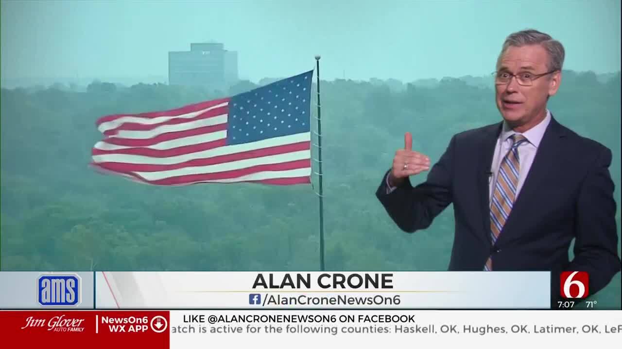
Tracking A Strong Cold Front On Wednesday
The strong front is located across southern Kansa and far northern OK early this morning and will move across the metro around the midday period with north winds, clouds, and colder weather.Wednesday, November 17th 2021, 6:37 am
TULSA, Oklahoma -
The strong front is located across southern Kansa and far northern OK early this morning and will move across the metro around the midday period with north winds, clouds, and colder weather.
Temps currently in the upper 60s will drop into the upper 40s and lower 50s for the midday to the afternoon with a mostly cloudy sky. We may see a small rebound into the lower 50s later this afternoon as the clouds attempt to clear from the north to the south. Some locations along and south of I-40 will still reach the lower 70s before temps drop after the 2 pm-3 pm hour.
Shower chances this morning will remain highly limited and mostly across extreme northeastern OK along the boundary, but a few spotty showers or even some pockets of mist or drizzle could develop on the backside of the front as the colder air arrives through midday. The strong north winds from 20 to near 35 mph will create some minor wind chills this afternoon. Winds will quickly subside this evening as a surface ridge of high pressure develops and centers across northeastern OK through Thursday into the evening.
This will keep chilly weather in place with Thursday morning lows in the lower to mid-30s and afternoon highs in the lower to mid-50s. A few locations Thursday morning will drop near or slightly below freezing, but these locations have already experienced a freeze last week and no freeze warning will be required. Light wind, clear sky, and dry air will allow for subfreezing temps to develop after midnight Thursday through pre-dawn Friday across a large portion of the area. Locations that have not experienced a freeze this season will be included in a freeze warning for this short window.
Friday afternoon into Saturday strong south winds will develop in advance of our next system nearing Sunday.
The next front moves across the area Sunday midday to early afternoon with limited shower or thunder chances followed by another cool-down Sunday evening into Monday. Temps Monday morning will start in the lower to mid-30s with afternoon highs reaching the upper 40s to lower 50s along with sunshine and north winds from 15 to 25 mph. Our next upper-level system quickly develops and moves near the plains with south winds returning Tuesday and Wednesday. Another front will be nearing the state Wednesday, but moisture is again expected to be limited or mostly to the south along the Red River where a few showers or storms may develop as the front passes the area. Wednesday highs should reach the lower 60s but will be falling through the afternoon with chilly weather settling into the area for the Thanksgiving Holiday period. Another system will be near or south of the state for the 2nd half of the week, but at this point, any significant chance of showers or storms will remain near or south of the area.
Thanks for reading the Wednesday morning weather discussion and blog.
Have a super great day!
Alan Crone
KOTV
More Like This
November 17th, 2021
August 8th, 2023
July 4th, 2023
May 8th, 2023
Top Headlines
April 25th, 2024
April 25th, 2024


