July Heat & Humidity Returning Soon
Hot and humid weather is making a return after severe storms battered parts of the state over the weekend.Monday, July 10th 2023, 6:13 am


If you’re into podcasts or in a rush, check out my daily weather update. Search for NewsOn6 and ‘Weather Out The Door’ on most podcast providers, including Spotify, Stitcher and Tune-In, or Click Here to listen on Apple Podcasts.
TULSA, Okla. - Hot and humid weather is making a return after severe storms battered parts of the state over the weekend.
Here are the details from News On 6 Meteorologist Alan Crone:
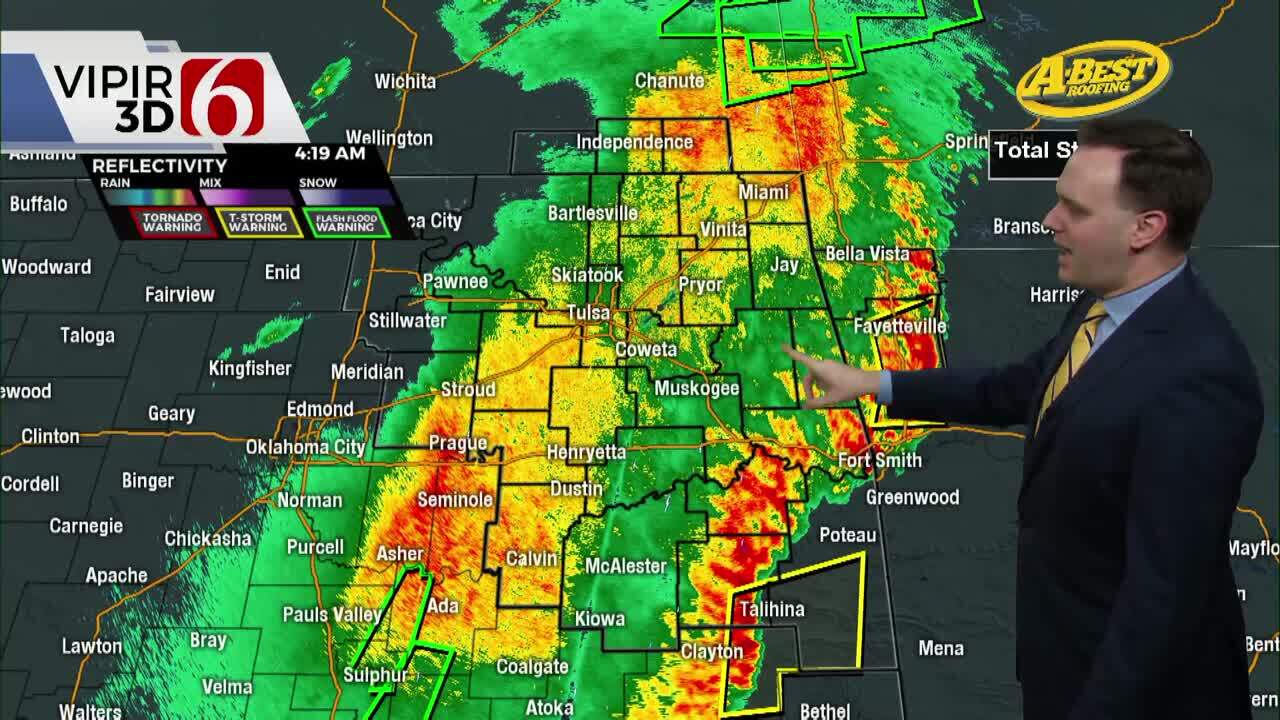
A few scattered showers and storms will brush extreme southeastern Oklahoma on Monday morning but should remain well removed from most of our immediate area of concern. We’ll see sunshine with highs in the upper 80s and lower 90s. The mid-level ridge centered across the southwestern US will expand northward over the next few days with the eastern periphery of the ridge nudging into northeastern Oklahoma. Before this occurs, one more complex of storms will have a chance to slide across the southern Kansas state line into northwestern and central OK later Monday night. Another batch of storms will reside overnight into early Tuesday morning across the Red River Valley. Severe threats will be mostly concerned with a few damaging wind gusts near 60 mph, but one or two cells could produce some hail. By Tuesday afternoon the northern edge of the ridge should be strong enough to shut down the northwest flow highway for a few days before the ridge retrogrades west this weekend with another northwest flow developing into the weekend. This will bring more storm chances and another reduction in afternoon highs. But in the near term, as the ridge strengthens the heat and humidity will rise for the middle and end of the week. Far northeastern OK into southeastern Kansas will remain in a very narrow northwest flow allowing for a few storm chances late Wednesday into early Thursday, and again Thursday night into Friday.
Afternoon highs should reach the lower 90s on Monday and the mid-90s Tuesday before moving into upper 90s Wednesday through Friday. Dew points in the 70s combined with recent rainfall and evapotranspiration will add moisture resulting in heat index values from 105 to 114. Heat advisories or even heat warnings will become more likely Wednesday through Friday before daytime highs drop into the lower 90s this weekend with additional rain and thunder chances returning as the top edge of the ridge again flattens. Data is mixed on the return of a surface boundary for part of the weekend but the northwest flow aloft pattern suggests additional late-night and early-morning storm systems will be possible. This should bring a reduction in temps before the ridge centers across the southern plains bringing very hot weather for the middle of next week.
Thanks for reading the Monday morning weather discussion and blog,
Have a super great day!
Alan Crone
KOTV

Get The Daily Update!
Be among the first to get breaking news, weather, and general news updates from News on 6 delivered right to your inbox!
More Like This

July 10th, 2023

July 20th, 2023

July 18th, 2023

July 17th, 2023
Top Headlines

April 28th, 2024

April 28th, 2024
April 28th, 2024

April 28th, 2024
