Another Cool Afternoon
Good morning. The upper air flow remains sharply from the northwest for the next few days. A weak disturbance today and tomorrow will pass to the northeast of the region with a few clouds and some low precipitation chances for a small area of northeastern OK. Chilly air will remain this morning and for most of the afternoon before warmer conditions will spread across the southern plains this weekend. Temperatures t...Friday, March 27th 2015, 4:27 am
By:
Alan Crone

Good morning.
The upper air flow remains sharply from the northwest for the next few days. A weak disturbance today and tomorrow will pass to the northeast of the region with a few clouds and some low precipitation chances for a small area of northeastern OK. Chilly air will remain this morning and for most of the afternoon before warmer conditions will spread across the southern plains this weekend.
Temperatures today have trended slightly lower in the latest model runs. We'll knock a degree or two off the forecast from yesterday. This means highs will be in the mid-50s for the metro, cooler far east, and slightly warmer west. A weak disturbance is brushing the area this morning. A sprinkle is possible but not likely. Tomorrow morning another northwest flow disturbance will be nearing with a slightly better trajectory into the area. We'll keep the mention of a shower or two for early Saturday across far northeastern OK. Saturday afternoon clouds will clear and highs will move into the upper 60s or lower 70s.
Most data support another short wave trough diving down the northwest flow Sunday helping to shove a surface front southward across the state Sunday afternoon and evening. Low level moisture will more than likely remain suppressed across the Red River Valley region of southeastern OK. We'll keep a slight mention for a few showers or thunderstorms late Sunday night into Monday morning, mainly for locations across southern OK.
Some differences exist in the data for early next week. We'll keep the northwest flow Monday before the southern stream begins influencing the area Tuesday into Wednesday as an upper level trough ejects from the Baja region eastward across Texas. This system will be close enough to keep a mention of showers or storms in the forecast Tuesday and Wednesday.
Later next week, the northern stream again becomes active with a stout mid-level wave diving down the inter-mountain region Thursday and Friday. This will cause pressure falls with a surface area of low pressure developing across part of Oklahoma sometime mid to late week. Low level moisture will begin returning into the state with increasing storm chances during this period.
Temperatures this morning will start in the lower 40s and end this afternoon in the 50s. Saturday mornings lows in the upper 30s and lower 40s will be followed by highs in the lower 70s with southeast winds around 10 to 15 mph. Sunday will feature highs in the mid-70s before the surface front slides southward with slightly cooler air Monday in the upper 60s for daytime highs. A return of the lower to mid-70s will be likely for the remainder of next week.
Regarding the recent severe storm and tornado event:
Thank you, Jennifer Patterson.
Much has been written and broadcast about the “Aim High Academy " located on Charles Page Boulevard in Sand Springs. The building was damaged during Wednesday's tornado as a large number of young gymnasts were preparing for a weekend competition. Yesterday morning, we interviewed the program director Jennifer Patterson about the tornado and how she managed to keep all the children and workers safe. The academy has been in the current location for only a few years, but she had made plans to utilize the basement of the facility to shelter the kids if they were ever in danger. She was aware of the threat of severe weather Wednesday and upon learning of the tornado warning, immediately moved the children to a place of safety for the duration of the storm. If you're not aware, the building's roof structure collapsed. We'll never know for certain, but her actions may have saved some of those children and adults, and at the very least, prevented injury. Jennifer Patterson's actions started well before the storm. She had a plan of action to protect her kids and workers and put that plan into motion.
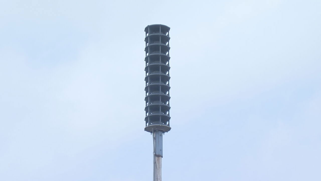
We should all have a plan of safety, ready to implement, at any moment regarding the safety and welfare of our children, our family, our co-workers, church congregations, or crowds at sporting events. If we wait until the very last minute to develop strategies for safety, valuable time could be wasted and preventable injuries could occur. Develop a plan and practice. Make sure everyone in your family or group of influence understands what to do in the event of a tornado warning. If you're a decision maker for a large group, remain aware of possible severe weather days as they approach. Develop redundancy for receiving watches and warnings from the National Weather Service. If a tornado warning is issued for your area, don't hesitate to place your plan into action. If no tornado occurs, the only thing you've lost is about 30 minutes protecting the value of life. If a tornado does occur, you're doing the absolute best you can to protect and preserve yourself and those around you.
When tornado warnings are issued, take personal responsibility to seek shelter.
Thank you Jennifer Patterson for having a plan and putting that plan into action.
Thanks for reading the Friday Morning weather discussion and blog.
Have a super great day!

Get The Daily Update!
Be among the first to get breaking news, weather, and general news updates from News on 6 delivered right to your inbox!
More Like This

March 27th, 2015

April 15th, 2024

April 12th, 2024

March 14th, 2024
Top Headlines
April 26th, 2024
April 26th, 2024
April 26th, 2024

