Warm And Windy Wednesday Ahead Of A Strong Cold Front
You’ve got one more day to soak up some warm afternoon temperatures, Green Country! Some big changes are about to arrive with our next cold front.Wednesday, October 23rd 2019, 11:37 am


You’ve got one more day to soak up some warm afternoon temperatures because some big changes are about to arrive with our next cold front.
Sunshine and a strong south breeze will give us another big warm-up for our Wednesday. We’ll see highs climb into the mid-70s! But hang on to your hats. Those south winds will be gusting over 30 miles per hour at times.
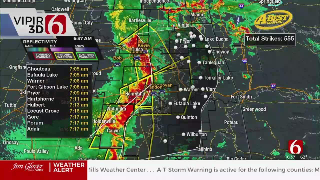
We’ll stay dry during the day, but scattered showers will break out across northeast Oklahoma late Wednesday night as another cold front arrives. Scattered rain and storms will continue into Thursday morning, with northerly winds getting much stronger by morning.

I’ll put it bluntly: Thursday will not be a very pleasant day to be outside. Areas of rain and storms will continue to redevelop across eastern Oklahoma Thursday morning into Thursday afternoon behind that cold front, and temperature-wise it’ll be a bit of a shock to the system.
Much of Green Country will likely hold in the 40s throughout the day Thursday, with north winds gusting to 30 miles per hour adding even more of a chill to the air.

Damp and chilly weather will lag behind that front into Friday as well. Off-and-on light showers and drizzle, along with a continued gusty north wind, will keep our temperatures in the 40s and low 50s again on Friday. Showers should slowly clear out of eastern Oklahoma this weekend, although some showers are expected to impact the Tulsa Run Saturday morning. Long story short: Make sure you’ve got the coat and the rain gear handy for a while!
I hope you have a great Wednesday, Green Country! You can follow me on Twitter @StephenNehrenz as well as my Facebook page Meteorologist Stephen Nehrenz to stay up to date with the very latest!

Get The Daily Update!
Be among the first to get breaking news, weather, and general news updates from News on 6 delivered right to your inbox!
More Like This

October 23rd, 2019

April 15th, 2024

April 12th, 2024

March 14th, 2024
Top Headlines

April 26th, 2024

April 26th, 2024

April 26th, 2024
