5-Star Weather Day Thursday For Green Country
5-Star Weather Day Thursday For Green CountryThursday, April 30th 2020, 7:13 am
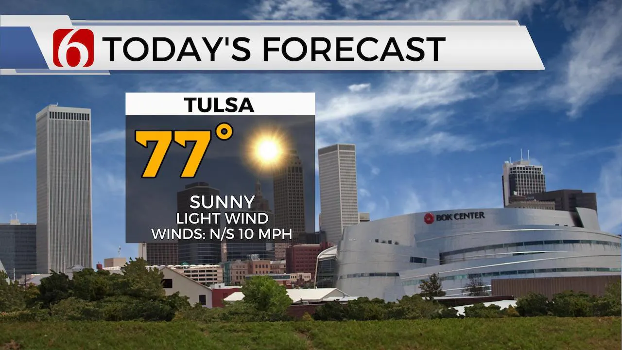
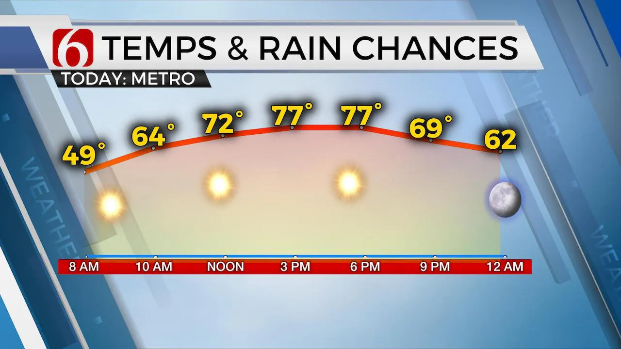
The dry air and clear sky will work some magic early this morning allowing temps dropping into the upper 40s across eastern OK. Our weather this afternoon should qualify as Five-Star variety with sunshine, dry air and light winds. The south winds return tomorrow with increasing speeds as our next system begins taking shape to our west. This will bring a few shower or storm chances near the area by Sunday morning. A slightly stronger looking system may be nearing Monday night into Tuesday with some strong to severe thunderstorm threats.

The upper air flow remains from the northwest this morning as our main upper level trough has moved east of the region. A mid-level ridge of high pressure builds across the southwestern U.S. and will bring a robust warming trend across part of southwest Texas today and eventually into western OK this weekend with upper 80s and lower 90s possible. As southerly flow returns later tonight into Friday, most data support a rather fast return of low-level moisture with dew points in the 60s by Friday evening into Saturday. A layer of warm air aloft should also advect from the southwest to northeast through this period and be positioned near northern OK by Saturday evening. Locations south of the state line will experience increasing convective parameters but the capping inversion may limit storm potential as the weak upper level system nears the state late Saturday night.

By Saturday evening into Sunday morning the upper air flow will mostly be from the west to east with the flow directly on the top side of the ridge. A weak disturbance may trigger a few shower or storms as a surface low and cold front will move across part of the state Sunday before stalling southward late Sunday night. Despite the lack of strong dynamics, the presence of increasing moisture could yield a few strong storms, yet probably elevated in nature, if they occur at all. This boundary to our south Monday morning will lift northward Monday night into Tuesday as stronger upper level system drives across the central and northern plains. While this forcing will remain well north of the state, the presence of a cold front with increasing moisture and some lift will result in storm chances. As this system passes the area Tuesday night, another ridge of high pressure in the mid-levels should bring above seasonal average temps back to the state, including eastern OK, by the middle to end of next week.
Thanks for reading the Thursday morning weather discussion and blog.
Have a super great day!
Alan Crone
More Like This
April 30th, 2020
December 12th, 2024
December 12th, 2024
December 12th, 2024
Top Headlines
December 12th, 2024
December 12th, 2024
December 12th, 2024
December 12th, 2024


