A Break In The Heat Next Week
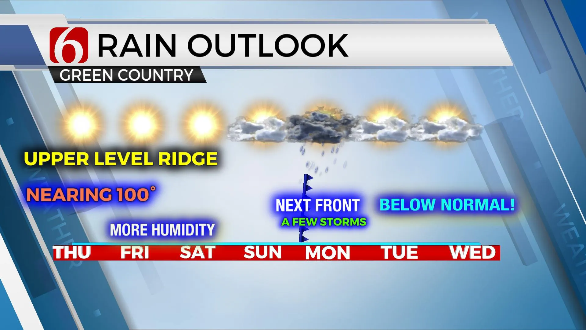
The pattern appears to change late this weekend into early next week as the mid-level ridge flattens and moves west while a cold front moves southeast across the central and southern plains, including northern OK bringing a few storms followed by a modest yet notable cool-down into the mid-80s starting Monday.Thursday, June 17th 2021, 12:18 pm
TULSA, Oklahoma -
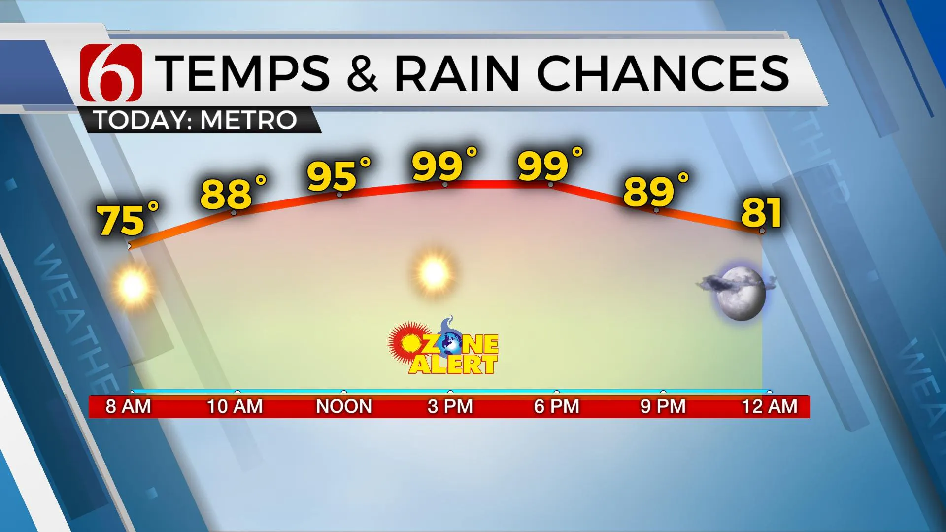
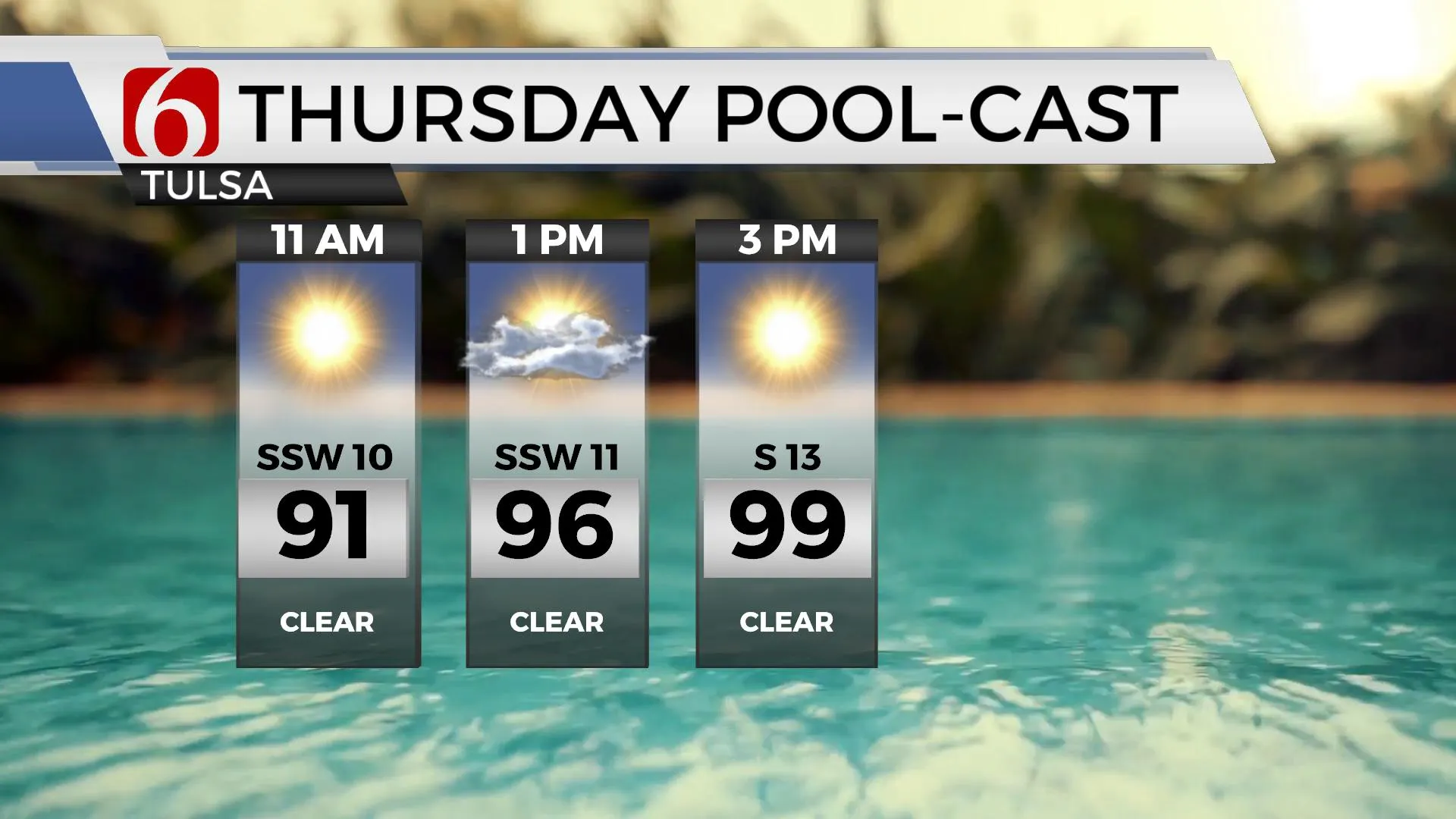
The pattern appears to change late this weekend into early next week as the mid-level ridge flattens and moves west while a cold front moves southeast across the central and southern plains, including northern OK bringing a few storms followed by a modest yet notable cool-down into the mid-80s starting Monday. Before we get into this part of the forecast, the pattern may also bring a small MCV near the eastern OK-western Arkansas vicinity later today with a few showers or storms attempting to develop. This is a wildcard but something we can’t totally rule out this afternoon for our neighbors across extreme eastern and southeastern OK. Otherwise, it is back to highs in the mid to upper 90s today along with heat index values nearing 100 to 104. This afternoon should be the hottest day of the early summer season before the upper pattern breaks down for a few days early next week.

A complex of storms developed yesterday afternoon across the Midwest and is now caught in the upper flow, moving mostly south across northern Missouri this morning. The upper air flow is favorable for bringing part of this system near our region later today, but more than likely, remaining to our east, into Western Arkansas. As noted above, this is the big wildcard for the day. Sometimes these disturbances in this upper airflow will defy probabilities, expand and bring storms over a larger area than expected. At this point, our plans include keeping these probabilities well east of the metro.

Regarding the pattern change into early next week.
The first wave in the mid to upper levels will quickly move across southern Canada into the upper Midwest Friday into Saturday with a surface front moving into at least the central plains before stalling. The upper flow, while increasing speeds aloft, will remain too far north to impact most of our area. The 2nd short wave scheduled to move across the northern plains Sunday into Monday is stronger and will act to bring the front southward, possibly entering northern OK Sunday night or Monday morning with a few storms, including the threat of a few strong to severe storms. GFS is a little more robust with storm chances, while our European neighbors slightly slower and mostly wet south of the metro. But the main benefit with this front will be the reduction of temps for a few days next week. Morning lows will drop into the lower 60s and highs will stay in the lower to mid-80s for a few days. We’ll take it!

Additionally, we're tracking a developing tropical system in the southern Gulf of Mexico that will move northeast the next few days before making some impacts across southeast TX and southern Louisiana. The system has trended slightly more northward and could bring a circulation into the ArklaTex or slightly east this weekend. Reconnaissance flights are expected today in the region and will bring additional forecast information into the process. The probability of a developing tropical system is high.
Another Ozone alert will be underway again today for the Tulsa metro regional area. To learn more about Ozone alerts and how you can help mitigate formation, please see the information posted by our friends at NWS Tulsa.
Thanks for reading the Thursday morning weather discussion and blog.
Have a super great day!
Alan Crone
KOTV
If you’re into podcasts, check out my daily weather update below. Search for NewsOn6 and ‘Weather Out The Door’ on most podcast providers, including Apple, Stitcher, Tune-In and down below on Spotify.

More Like This
June 17th, 2021
February 14th, 2022
January 26th, 2022
January 25th, 2022
Top Headlines
December 14th, 2024
December 14th, 2024
December 14th, 2024


