Below Normal Temperatures With A Few Storm Chances
Temperatures rebound a little with partly cloudy skies.Monday, August 16th 2021, 5:02 am
TULSA, Oklahoma -
We've been experiencing some pleasant weekend weather compared to last week after the Friday front moved across the region. We'll be slowly warming over the next few days and will continue to keep chances for some scattered showers and storms in the forecast as a weak upper trough should be near the state.

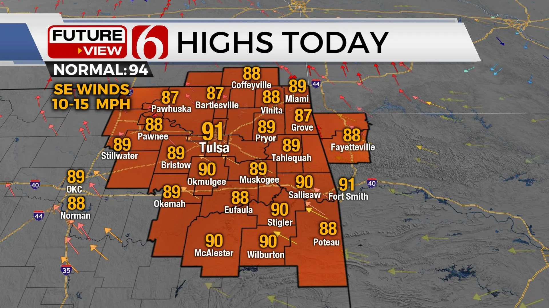
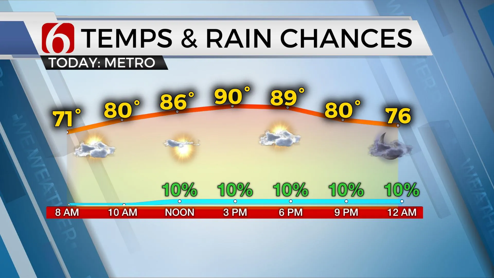
Temperatures today and Tuesday will remain in the upper 80s to lower 90s near the metro and surrounding areas for daytime highs with morning lows in the upper 60s and lower 70s. South winds have already returned and will remain so for most of the week continuing to slowly advance low-level moisture back across the eastern OK region. This will act to slowly increase the heat index into the mid-90s in the short term and nearing 100 or slightly higher by the middle of the week into the weekend.

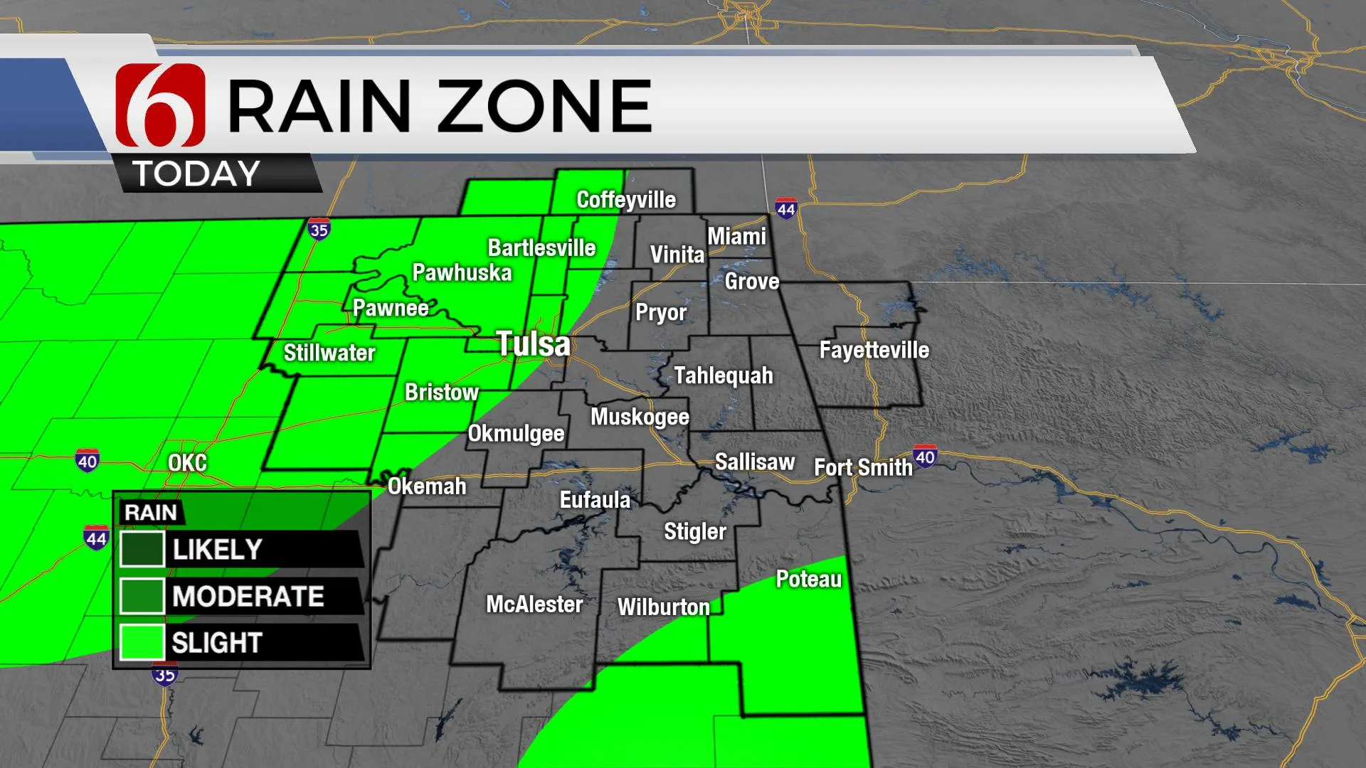
A small convectively induced area of vorticity seems to be located across part of Kansas this morning and is dropping slowly southward. This may be close enough to trigger a few scattered showers or storms later across part of northcentral OK and southern Kansas. Some hi-res data will also have this feature nearby Tuesday morning to midday with another chance for a few scattered storms.

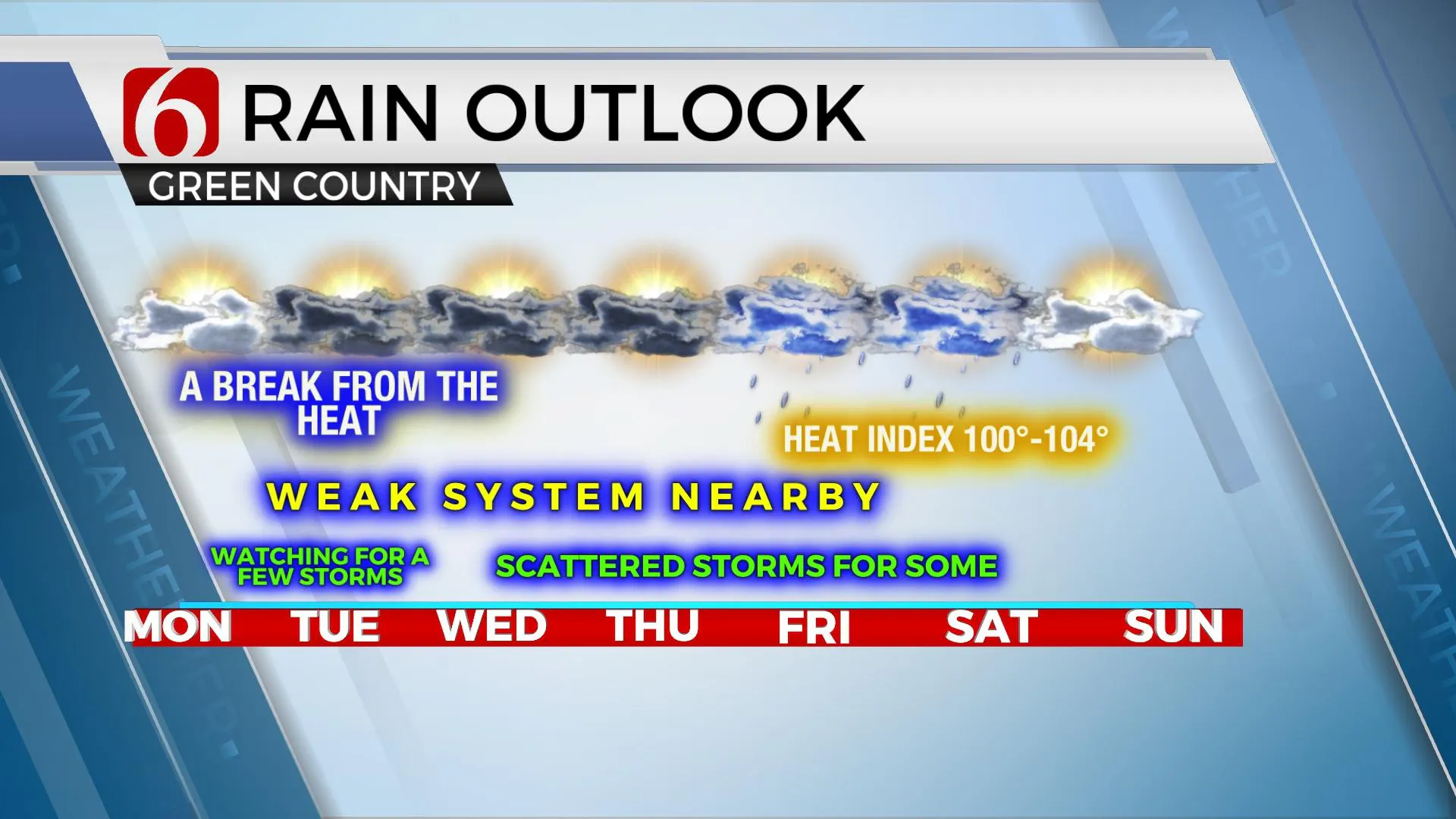
A separate weak upper-level trough will move eastward across north TX and southern OK Tuesday into Wednesday, with some data lingering this feature through Friday. This feature should be able to trigger scattered showers and storms, mostly Tuesday night into Wednesday, including the potential for some locally heavy downpours in a few spots, mostly across the southern third of the area. The steering currents and wind speeds aloft will remain mostly light across our area as stronger westerlies remain well north of the state. This will keep the severe threats limited to very low, and mostly in the form of a few strong wind gusts and some locally heavy rainfall.

Another front may be near the area by the end of the week but has not been consistent in the data. We'll continue to keep some storm chances in the forecast for the Thursday evening and Friday period as the above-mentioned trough could be near the eastern third of the state but will not bring the surface front southward at this point. A mid-level ridge of high pressure remaining the dominant feature through most of the weekend into a few days next week. This means after Friday, our rain chances will begin thinning out this weekend with highs reaching the mid-90s. A return of hot and humid weather seems likely for the early part of next week.
The tropics are very active. We have several disturbances and named systems in the Atlantic Basin, including Fred, Grace, and soon to be Henri.
Thanks for reading the Monday morning weather discussion and blog.
Have a super great day!
Alan Crone
KOTV
If you’re into podcasts, check out my daily weather update below. Search for NewsOn6 and ‘Weather Out The Door’ on most podcast providers, including Spotify, Stitcher, Tune-In and down below on Apple.

More Like This
August 16th, 2021
February 14th, 2022
January 26th, 2022
January 25th, 2022
Top Headlines
December 15th, 2024
December 15th, 2024
December 15th, 2024
December 15th, 2024


