Hunting Tornadoes From The Sky: Inside NOAA's 'Flying Laboratory'
<p>Scientists hope flying near tornadoes will help predict when and where the storms will strike on the ground.</p>Wednesday, May 2nd 2018, 9:21 am
Scientists hope flying near tornadoes will help predict when and where the storms will strike on the ground. For the scientists who study severe weather at the National Oceanic and Atmospheric Administration, the basic advantage is: the closer you can get to a storm, the better data you can collect from it. That applies to hurricanes and, as CBS News' Mark Strassmann saw on a recent flight, tornadoes too.
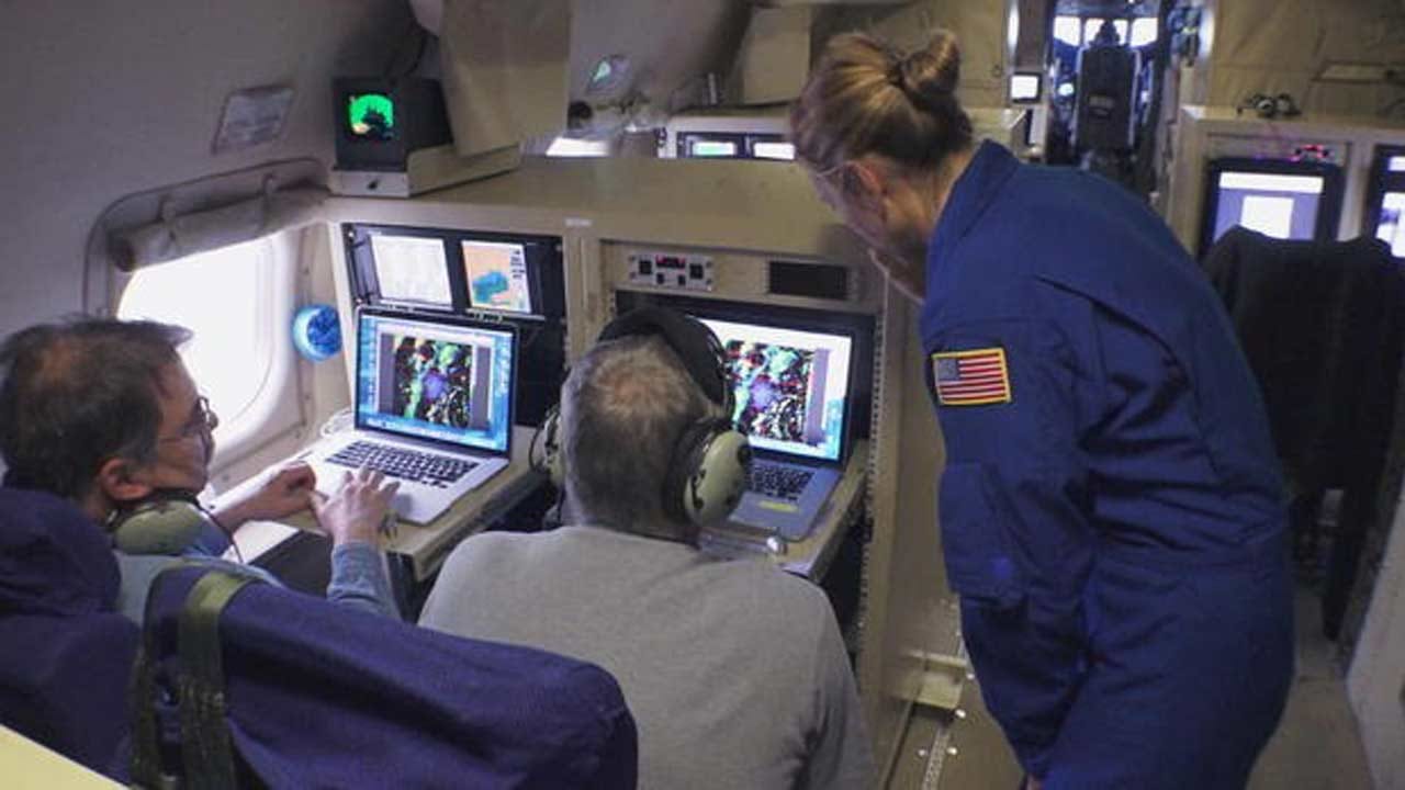
A research plane – about the size of a 737 – heads straight toward what most pilots do anything to avoid: dangerous, even deadly weather. Ian Sears is a meteorologist aboard NOAA's P3 research plane, nicknamed "Kermit." It usually hunts hurricanes over the Atlantic, but this time the target is tornadoes over Louisiana.
"We are a flying laboratory. We have the most sophisticated instrumentation in the world flying on this airplane," Sears said. "It's very different, it's very dynamic, it changes very rapidly and it's much more unpredictable than a hurricane."
The plane carries three radars – two on the tail scan vertically, one underneath the fuselage scans horizontally. By flying with a storm as it develops, researchers can paint a 3-D picture of how a tornado forms.
"We want to get close enough that the radar can measure finer details such as the circulations that produce tornadoes," explained Dr. Conrad Ziegler, the lead scientist aboard, who studies tornadoes at the National Severe Storms Laboratory in Oklahoma.
Flying just 2,700 feet over northeastern Louisiana, we spot a supercell thunderstorm off our left wing. It could spawn a tornado at any time. Kermit tries to stay six miles ahead of the storm's front edge – close, but not too close. Flight director Jess Williams navigates the team into position.
"This mission is very dangerous. Got to keep an eye on the radar during the entire flight. I'm watching the radar right now as I'm talking to you. Things can develop within a matter of seconds on these cells that we're targeting," Williams explained.
And develop they do. A funnel drops to the ground near the town of Calhoun. Kermit comes alive – along with the crew of 16.
"I think anybody that didn't have their hands on the yoke had their cell phones and cameras out taking pictures. Myself included for sure," Sears said.
Cameras on the ground caught the twister, too. From a research perspective, they hit the jackpot. Not only were cameras rolling, the plane's radars captured the whole thing.
"I think people are going to be studying this particular event for many years just because of the amount of data we were able to collect from it," Sears said.
Best of all, this tornado killed nobody on the ground and it left behind a trail of data that will help forecasters better predict where and when the next one will strike.
"That's where we're making a difference here…..Minutes, seconds count. That could be the difference between somebody getting to shelter and safety and not," Sears said.
The scientists said this was one of their most successful tornado data collection flights ever. What they learn will eventually end up in computer models that will help forecasters identify storms that might produce a tornado. As for Kermit, it's getting some rest before hurricane season, which starts next month.
More Like This
September 29th, 2024
September 17th, 2024
Top Headlines
December 13th, 2024
December 13th, 2024
December 13th, 2024


