Friday Morning Update
We're almost finished with the current storm system but we have one more round of severe thunderstorm activity to endure before we experience some pleasant weather Saturday evening into Sunday. A coldFriday, May 31st 2013, 6:27 am
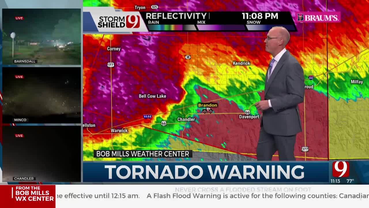
We're almost finished with the current storm system but we have one more round of severe thunderstorm activity to endure before we experience some pleasant weather Saturday evening into Sunday. A cold front will approach the area later this afternoon and evening along with a dry line to the west and a strong upper level disturbance nearby. These features will all combine to produce more severe weather including large hail, damaging winds, and the possibility of tornadoes later this afternoon and evening before the storms congeal into a severe mesoscale convective system and move across northeastern OK overnight into pre-dawn Saturday morning. As the storms form a complex later this evening, the threat will transition to a damaging wind (straight line wind) threat along with extremely heavy rainfall leading to some flash flooding issues. A flood watch will be posted for a large portion of Northeastern OK tonight into early Saturday due to the heavy rainfall potential. Tornado watches will more than likely be required later this afternoon and tonight for part of the area.
The main upper level system is now centered across the central plains states and is moving eastward. Model data and observational data support a strong disturbance moving around the back side of the low this afternoon and tonight. This disturbance will help shove a surface boundary southward from southern Kansas into northern OK while a dry line to our west will surge eastward. The cold front will eventually merge with the boundary producing very heavy rainfall along with the severe weather threat. As of this hour, a moderate risk of severe weather will be posted for our immediate area for this afternoon and tonight. The model depicted instability is extremely high for the afternoon along and north of the I-44 corridor. The threat will exist for large hail and tornadoes for the early afternoon and early evening hours before it transitions to the damaging wind and flooding rain threat.
After the midday Saturday time period, the cold front will slide eastward taking the heavier precipitation to the east and southeast. Our weather will be improving by Saturday late morning to early afternoon with northeast surface winds and decreasing clouds. Dry air will be moving into the northern third of the state setting the stage for a wonderful Saturday evening and a spectacular Sunday regarding the weather. Sunday morning lows will be in the mid-50s with light winds. The afternoon highs will be around 77 to 80 with plenty of sunshine and light northeast breezes. There may be some clouds late Saturday night into early Sunday morning, but sunshine should be the call for most of Sunday.
The return flow (southeast winds) will quickly bring low level moisture back into the region by Tuesday and Wednesday while another upper level system moves across the central high plains. Some of the model data ( GFS) is depicting a strong vort max nearing the state line Tuesday night into Wednesday that would allow for storms nearing the state both days. The model data also depicts a surface low developing across northwestern OK during this period that could enhance some of the low level flow and convergence. Bottom line: we'll keep a decent chance of storms in the forecast for Tuesday into Wednesday of next week.
The official high in Tulsa yesterday was 84 recorded at 2:58pm.
The normal daily average high is 83 and the low is 63.
Daily records include a high of 100 from 1934 and a low of 49 from 1930.
You'll find me on Facebook and Twitter.
I'll be discussing the weather today with Dan Potter and The KRMG Morning News in Tulsa.
You'll also hear my statewide and regional weather forecasts on numerous Radio Oklahoma News Network affiliates across the state through the morning hours.
Thanks again for reading the Friday Morning Weather Discussion and Blog.
Remain aware of your weather surroundings tonight into early Saturday.
Have a good day!
Alan Crone
KOTV
More Like This
May 31st, 2013
April 15th, 2024
April 12th, 2024
March 14th, 2024
Top Headlines
May 7th, 2024
May 7th, 2024


