Weather Pattern Change To Bring Storm Chances To Green Country
Weather Pattern Change To Bring Storm Chances To Green CountryWednesday, May 20th 2020, 6:45 am
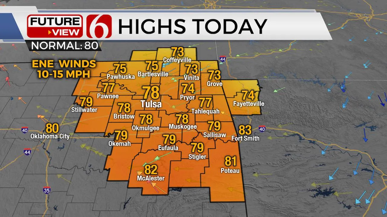
We’re about ready to head into a pattern change that brings warm and humid weather across eastern OK with several storm chances, including the Memorial Holiday Weekend. A few of the storms may be strong to severe along with pockets of moderate to heavy rainfall in some locations. Humidity values and temps will support minor, yet noticeable heat index values this weekend. While chances will remain from Thursday through Saturday, higher chances will be likely Sunday into Monday. Highs today should reach the mid to upper 70s north to lower 80s south along with east to northeast winds near 10 to 15 mph before winds return from the southeast later tonight as warm and moist air begins lifting across north Texas into southeastern OK. This warm front will be the first signal for increasing humidity and temps into the weekend.

The mid-level ridge of high pressure near the region will move east and weaken later today as the main trough across the western U.S. deepens slightly. The westerlies have started shifting northward but will still bring plenty of lift across the southern plains Thursday through Saturday despite stronger winds and flow remaining north.

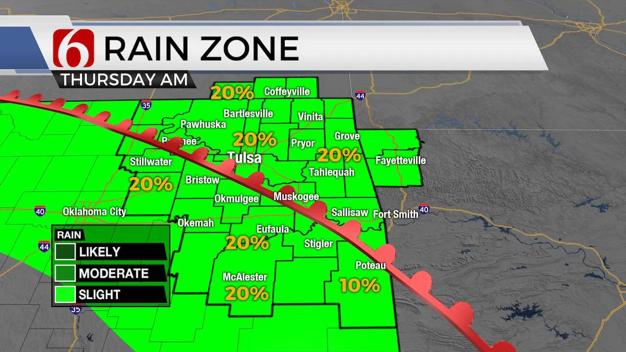
As warm and moist air arrives Thursday morning, a few showers or storms will be possible, but hi-res data is not quite as robust as one would expect in this pattern. Some model data appears to have stronger capping (warm air aloft) compared to others. This pattern will be tricky regarding exact location and timing of storm chances for the next few days. The chances Thursday morning will remain low, but not zero. The first wave rotating around the base of the trough brings storm chances into western or central OK Thursday afternoon and evening that may migrate across eastern sections through early Friday morning. There may also be a small complex of storms that could form across southern Kansas and migrate into northeastern OK early Friday, but this chance also remains questionable. Regardless, chances will remain from Thursday afternoon through Friday morning. Then additional chances arrive Friday evening into part of Saturday morning, mostly across southeastern OK. Some pockets of heavy rainfall and severe storms would be possible, with hail and wind the main threats. If this small complex of storms does develop Friday evening, more than likely it would have greater impacts across southeastern to east-central OK.

This weekend will be warm and humid. Most data support at last upper 60 dew points to lower 70s across the eastern third of the state. A little taste of June. Saturday may be the drier of the weekend days, but there will be a chance for storm or two. Sunday morning through midday may also be mostly dry, but this is still subject to change. But as of this morning, Sunday evening into Monday supports the higher chances for storms as the upper pattern will shove a surface boundary across western OK Sunday evening and into central and eastern OK early Monday. Stronger flow aloft is expected north of the state while another cut-off low may develop across southwestern Texas keeping northeastern OK in the active pattern Monday night, Tuesday and possibly Wednesday. The positioning of the cut-off to our southwest should bring northeast winds across the region Monday through Tuesday and limit instabilities while keeping a stout low-level moisture flow into eastern OK. This means our severe weather threats Monday into Tuesday may revolve moistly around pockets of moderate to heavy rainfall and precip loading winds.
Thanks for reading the Wednesday morning weather discussion and blog.
Have a super great day!
Alan Crone
More Like This
August 8th, 2023
July 4th, 2023
May 8th, 2023
Top Headlines
December 12th, 2024
December 12th, 2024
December 12th, 2024
December 12th, 2024


