Another Warm And Muggy Day Before A Weekend Front
Another warm and muggy day. Alan is tracking our next cold front that could impact weekend plans.Thursday, July 8th 2021, 8:21 am
TULSA, Oklahoma -
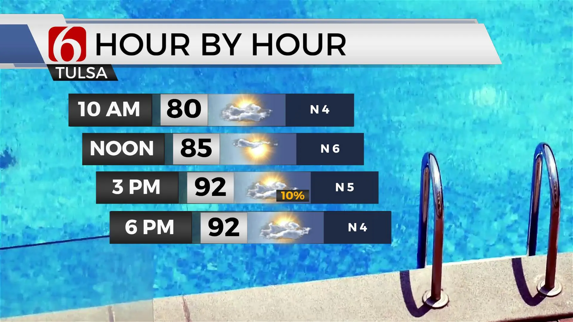
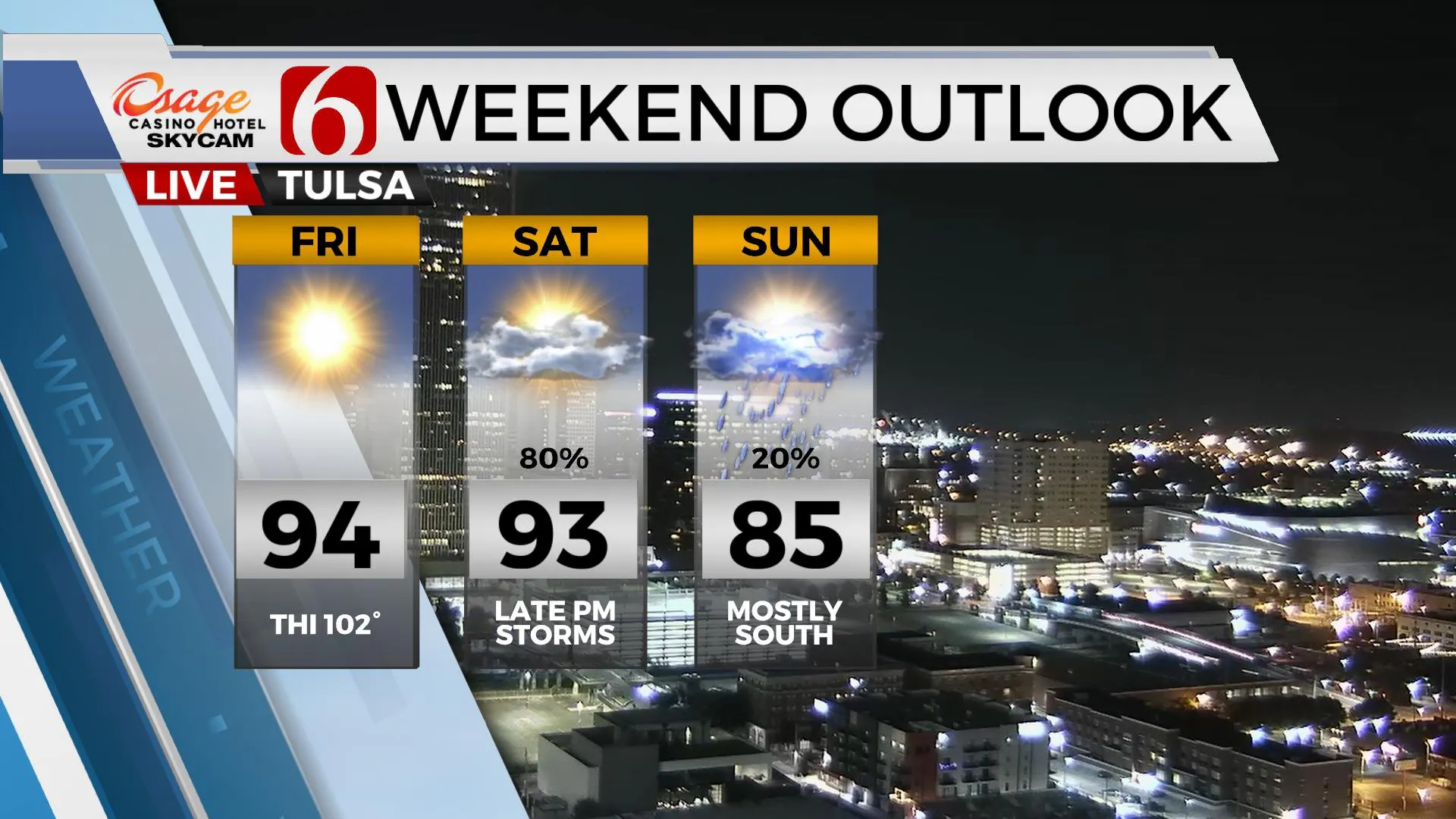
A weak outflow boundary is positioned near and south of the metro. Combined with daytime heating and abundant low-level moisture, a few widely spaced showers or storms may attempt to develop today but the coverage will be extremely low. Despite this boundary, no airmass change will occur. Warm and muggy weather continues with highs reaching the lower 90s in most locations along with heat index values in the mid to upper 90s. Winds should be light and mostly from the north for most of the day before backing from the south by early evening. Our next stronger system arrives later this weekend with thunderstorm chances, including a threat for a few strong to severe. Some locally heavy rainfall will be possible in some locations, but the progressive nature of the system should preclude any significant flooding threats.

The main upper-level pattern continues supporting a strong ridge of high pressure centered across the western U.S. with the epicenter of this feature across southern Utah and Nevada. A short-wave trough is currently moving along the topside of this ridge across southeastern Canada this morning and will be followed by a stronger disturbance that arrives across the northern high plains Saturday before dropping south by the evening hours. Its this feature that brings more active weather into the state as a surface cold front develops across the central plains and enters northern OK by Saturday evening. While stronger winds aloft may reside slightly northeast of our immediate region, adequate shear and instability should exist for strong to severe storms as this cold front moves southeast into the state by early evening. This front should clear the region late Saturday evening into pre-dawn Sunday morning taking most of the convective activity out of our immediate area, but the presence of the above-mentioned trough Sunday into Monday may also keep a few showers near northeastern OK with some clouds and north winds. A minor airmass change is possible with low-level moisture being shunted southward into Texas before returning Tuesday night into Wednesday as southerly flow returns.

Thanks for reading the Thursday morning weather discussion and blog.
Have a super great day!
Alan Crone
KOTV
If you’re into podcasts, check out my daily weather update below. Search for NewsOn6 and ‘Weather Out The Door’ on most podcast providers, including Apple, Stitcher, Tune-In and down below on Spotify.

More Like This
July 8th, 2021
December 14th, 2024
December 14th, 2024
December 14th, 2024
Top Headlines
December 15th, 2024
December 15th, 2024
December 14th, 2024


