Snow Chances Return Later This Week
Chilly temperatures and snow chances return to Green Country this week.Tuesday, March 8th 2022, 6:24 am
TULSA, Oklahoma -
Chilly temperatures and snow chances return to Green Country this week.
Here are the details from News On 6 Meteorologist Alan Crone:
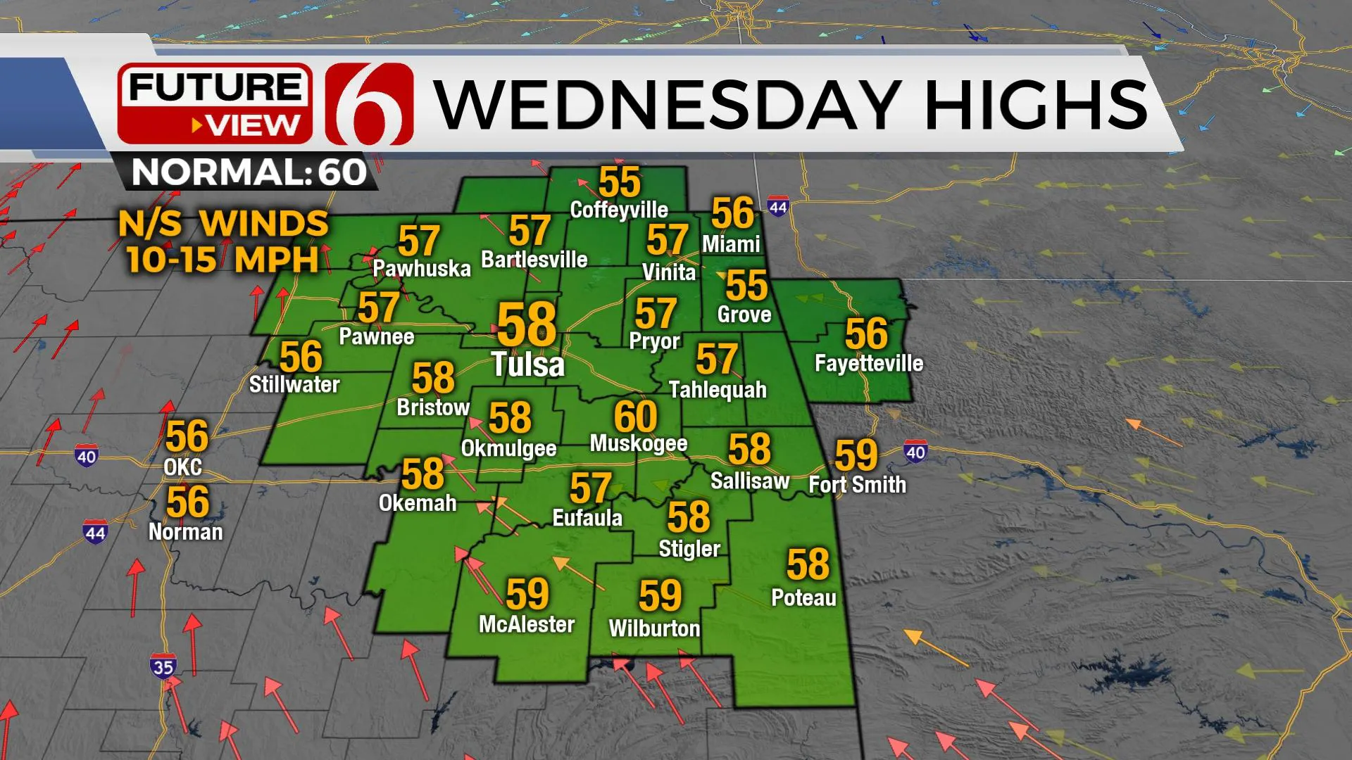
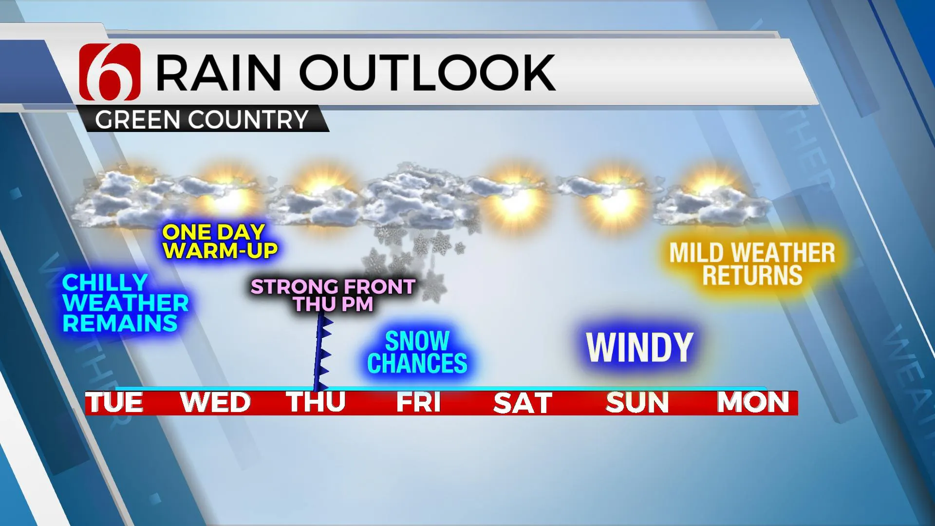
A weak impulse will traverse the southern plains on Tuesday with increasing clouds and a slight mention for light showers across extreme southeastern Oklahoma and north Texas. This activity is expected to remain well south of the metro, but we'll see a mostly cloudy sky due to the proximity of the wave. Temps will remain chilly with afternoon highs in the mid-40s. Winds will be mostly light and variable in direction. A one day warming trend is likely Wednesday. After morning lows in the 20s, afternoon highs should reach the upper 50s and lower 60s with sunshine and south winds developing around 10 to 20 mph. The next upper-level trough is likely to impact the southern plains Thursday night into Friday with increasing wintry weather potential, including a mention of accumulating snow.

Thursday morning a strong arctic front is likely to move across northwestern OK and will be entering northern OK by early afternoon. Locations well north of the front will see widespread snow developing, mostly across central Kansas along both sides of the I-70 corridor. As the arctic front moves south, temps will rapidly drop into the lower 30s and upper 20s by the early afternoon across northeastern Oklahoma and into the lower 20s Friday morning. This front will clear the entire state and should move into south Texas Friday evening. As the upper-level wave nears Oklahoma, moisture will be lifted over the colder air producing wintry precip. The initial data support a column cold enough for all snow across the northern third and a possible mix across the far southeastern OK. The exact trajectory of the upper-level system may still change but enough confidence remains for a healthy chance of snow for this forecast update. Cold air will remain Friday and most of Saturday before quickly moderating Sunday with upper 50s and lower 60s. Temps early next week should return well above normal, with many locations in the 70s. A progressive pattern is likely to remain for the foreseeable future.

Thanks for reading the Tuesday morning weather discussion and blog.
Have a super great day!
Alan Crone
KOTV
If you’re into podcasts, check out my daily weather update below. Search for NewsOn6 and ‘Weather Out The Door’ on most podcast providers, including Spotify, Stitcher, Tune-In and down below on Apple.

More Like This
March 8th, 2022
June 21st, 2023
June 19th, 2023
June 13th, 2023
Top Headlines
December 12th, 2024
December 12th, 2024
December 12th, 2024
December 12th, 2024


