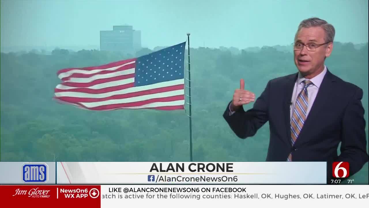
Windy Weather Brings Increasing Fire Danger Threats
The spotty overnight showers and storms are gone but strong and gusty winds will be impactful as fire danger issues return.Wednesday, April 6th 2022, 6:21 am
The spotty overnight showers and storms are gone but strong and gusty winds will be impactful as fire danger issues return.
A pattern changes this weekend also brings severe weather potential into the southern plains, and Oklahoma early next week. A powerful mid-level low will spin across the Midwest for the next 48 hours keeping a northwest upper airflow positioned across the state. Surface pressure gradients will be quite strong with northwest winds on Wednesday from 15 to 35 mph, and even stronger winds likely Thursday and part of Friday.
Wind advisories are likely on Thursday with northwest winds from 20 to 40 mph. Despite recent rainfall, fire spread rates will be increasing for the next few days. Red Flag Warnings are posted for most of the area this afternoon. Low humidity, strong winds, and dry vegetation will create very high fire spread rates.
This pattern also brings a slightly cool to chilly air mass across northeastern OK. Highs will reach the upper 60s Wednesday but will be reduced to the upper 50s and lower 60s for the rest of the week. Morning lows will drop, more notable Friday and Saturday morning with many locations reaching the mid-30s. Some patchy frost is possible in a few valley locations during the early morning periods.
A freeze warning may be needed for a few counties Saturday morning. The pattern changes again this weekend in advance of a powerful upper-level trough that will bring severe weather threats into the state next week.
Saturday will be a six-star weather day with afternoon highs near 70 and south winds by the afternoon at 10 to 25 mph.
Much stronger south winds are likely Sunday from 25 to 35 mph with highs nearing the lower 80s. A developing west coast trough will eventually pivot into the central plains sometime early next week. This pattern supports the mention of strong to severe storms, with the possibility of a multi-day chance. Specific details will be forthcoming as we draw closer to early next week, but we'll respect the potential based on the pattern.
Thanks for reading the Wednesday morning weather discussion and blog.
The morning podcast link

More Like This
April 6th, 2022
August 8th, 2023
July 4th, 2023
May 8th, 2023
Top Headlines
December 13th, 2024
December 13th, 2024
December 13th, 2024


