Tracking A Thanksgiving Storm System
It's a chilly start to the day before some warmer temperatures return toward the afternoon.Tuesday, November 22nd 2022, 6:53 am
TULSA, Okla. -
If you’re into podcasts or in a rush, check out my daily weather update. Search for NewsOn6 and ‘Weather Out The Door’ on most podcast providers, including Spotify, Stitcher and Tune-In, or Click Here to listen on Apple Podcasts.
TULSA, Okla. - It's a chilly start to the day before some warmer temperatures return toward the afternoon.
Here are the details from News On 6 Meteorologist Alan Crone:

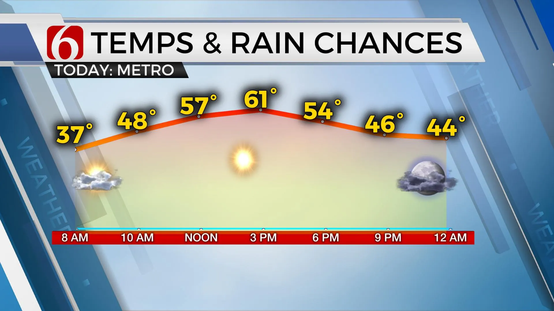
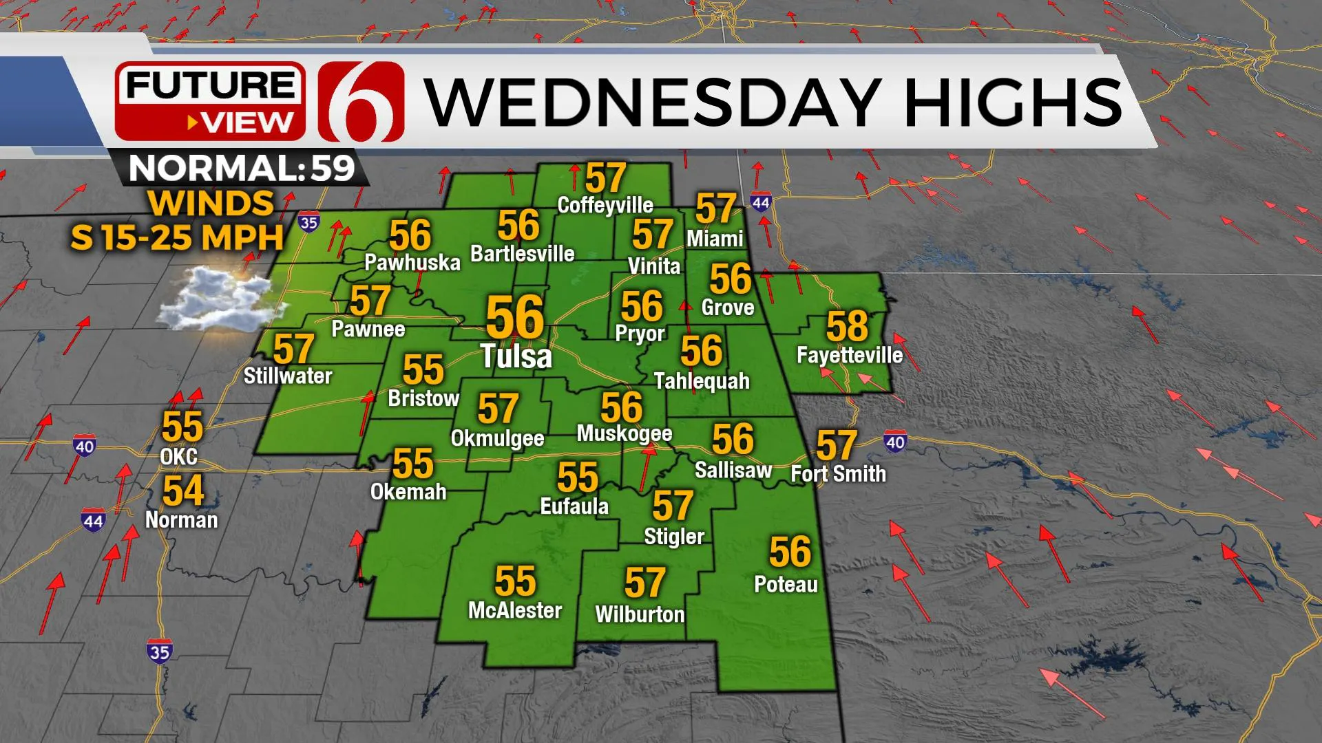
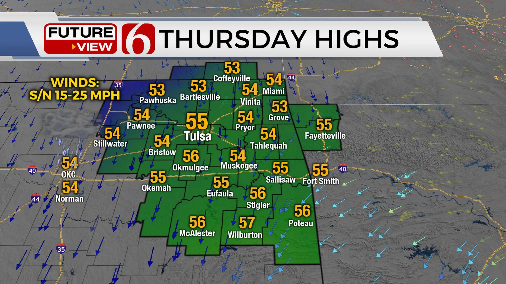
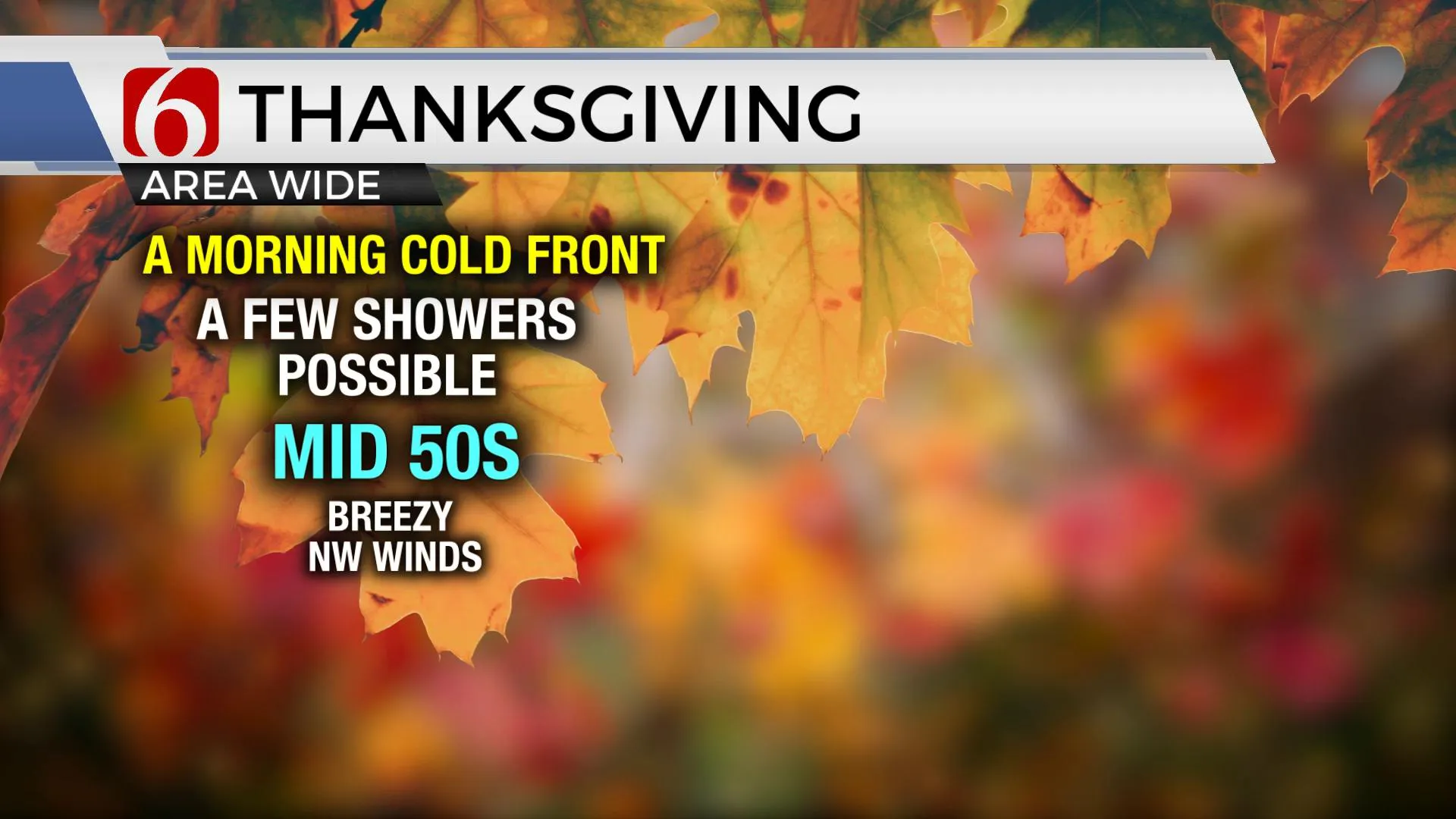
After another chilly start with lows in the 30s, afternoon highs will reach the upper 50s and lower 60s today with sunshine, a few clouds, and a south wind from 10 to 20 mph. South winds will increase speeds slightly, from 15 to 25 mph Wednesday with afternoon highs also in the upper 50s and lower 60s with increasing clouds ahead of the Thanksgiving system that brings shower chances into the area. Thursday morning temps start in the 40s and ending with highs in the lower to mid-50s with gusty northwest winds midday to afternoon behind a departing cold front. Shower chances will remain for part of Friday and early Saturday before departing the state.

The Thanksgiving system remains problematic regarding the evolution of the upper-level trough and the influence, potentially on weather after Thanksgiving from Friday into Saturday. This morning’s data seems to be converging on a slower, closed low type system that would bring precipitation chances for a longer period. The exact track of the upper-level low will determine the exact timing, but we’ve made some adjustments for the forecast based on a blended approach.

The first wave of some showers will begin late Wednesday evening into Thursday morning from southeastern OK into western Arkansas. The Tulsa metro will be on the western edge of this percip shield but will have a chance Thursday morning. A few showers may populate the area Thursday afternoon, but chances will remain low. Friday morning a few showers will be possible but higher chances arrive Friday evening late into early Saturday morning as the main upper-level low begins ejecting across the eastern half of the state. Thermal profiles are expected to be warm over eastern OK, and precipitation should remain liquid with this system. Travelers west on I-40 across far western Oklahoma into the high plains of Texas should be prepared for some wintry weather impacts Thursday evening into Friday with some accumulating snow, mostly across the Texas panhandle and high plains of Texas. Some wintry impacts may occur across far western Oklahoma.

Thanks for reading the Tuesday morning weather discussion and blog.
Have a super great day!
Alan Crone
KOTV
More Like This
November 22nd, 2022
June 21st, 2023
June 19th, 2023
June 13th, 2023
Top Headlines
December 14th, 2024
December 14th, 2024
December 14th, 2024


