Shower Chances Return To Green Country
Shower chances return to Green Country on Thursday.Thursday, March 30th 2023, 9:12 am
If you’re into podcasts or in a rush, check out my daily weather update. Search for NewsOn6 and ‘Weather Out The Door’ on most podcast providers, including Spotify, Stitcher and Tune-In, or Click Here to listen on Apple Podcasts.
TULSA, Okla. - Shower chances return to Green Country on Thursday.
Here are the details from News On 6 Meteorologist Alan Crone:

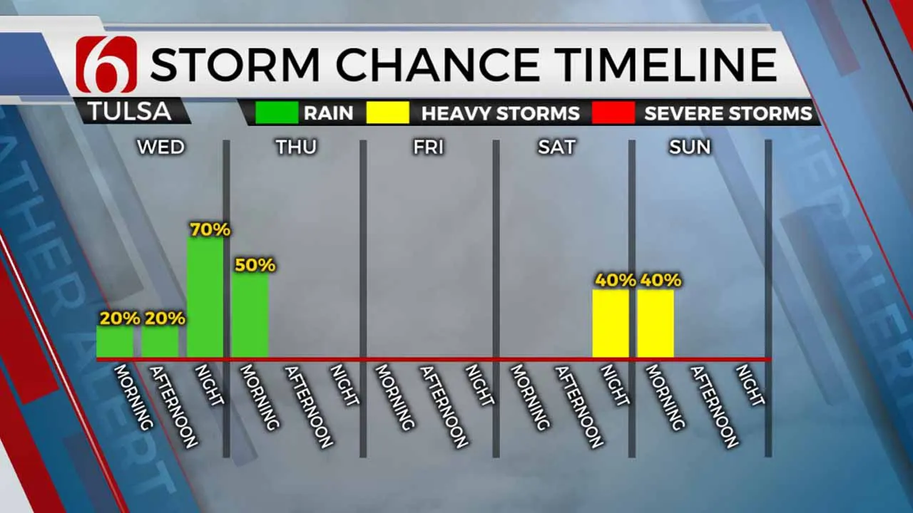
A strong storm system will begin influencing Northeastern Oklahoma on Thursday and Friday with various weather scenarios and hazards. A chance for a few spotty showers or storms will exist Thursday afternoon and night, with a slightly higher opportunity early Friday morning as a dry line rapidly moves across Central into Eastern Oklahoma. A window for strong and severe thunderstorm activity will remain near and east of the Tulsa Metro, but the threat is highly conditional. As the system quickly exits east, very strong west-southwest wind at 20 to near 50 mph will be likely Friday afternoon as dry air arrives. Despite the chance for showers and storms early Friday morning, most locations will remain dry. High to near critically high fire danger issues will arrive from midday to afternoon near and west of the metro.

A fire weather watch is currently posted and will be upgraded to a red flag warning for tomorrow. Wind advisories are also likely. By Friday evening, the Pacific front moves across the area bringing a slight cool down for Saturday. Another strong storm system is likely to impact the central and southern plains early next week, including another opportunity for scattered thunderstorms across part but not all of Eastern Oklahoma. We may eventually need thunderstorm probabilities for a few days next week. As of this morning, I will include probabilities Tuesday. The storm system next week is also very dynamic and would support severe weather threats across the far eastern sections of the state with critically high fire danger issues to our west.

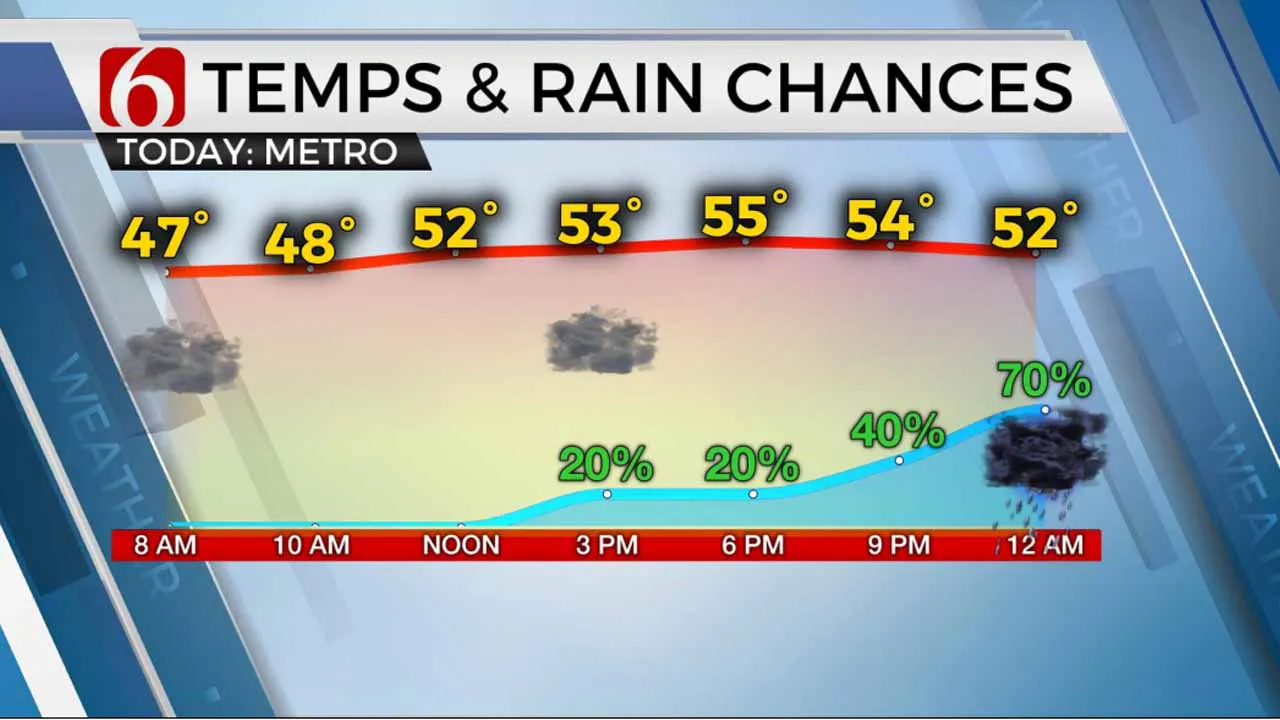
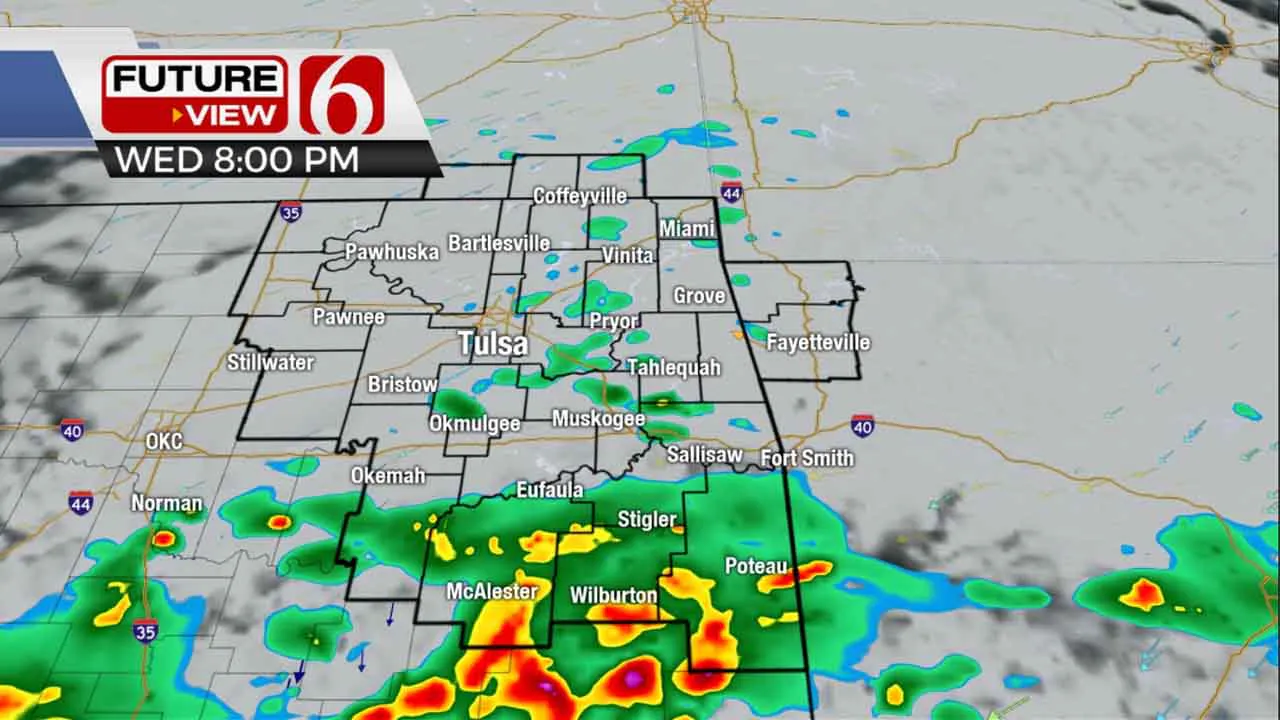
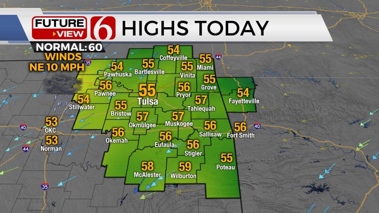
Increasing clouds are likely today along with strong south winds at 20 to near 35 mph. Morning lows in the upper 40s and lower 50s will reach highs into the mid or upper 60s. A layer of warm air aloft, the cap, is likely to overspread part of the area this afternoon capping the potential for surface-based storms in our area. Model data suggest some scattered showers and storms, elevated in nature, may develop from north central Texas and to part of Southeastern Oklahoma. A few of these may move into east-central Oklahoma later tonight.

Later tonight, while the main upper-level system remains well west of the area, a lead wave is likely to eject across West Texas into part of Central Oklahoma. Again, the cap should hold, but any storms that do develop late tonight in this area would be severe. We’ll continue to watch overnight into the early Friday morning hours for a few storms near or southeast of the metro. Cooler weather arrives Saturday with highs in the lower to mid-60s. A weak wave may generate a few showers across southern OK Sunday with highs in the mid to upper 70s along with the return of gusty south winds. Another strong storm system will near the central and southern plains early next week.
Please remain aware of your weather surroundings.
Thanks for reading the Thursday morning weather discussion and blog.
Have a super great day!
Alan Crone
KOTV
More Like This
March 30th, 2023
December 14th, 2024
December 14th, 2024
December 14th, 2024
Top Headlines
December 14th, 2024
December 14th, 2024
December 14th, 2024
December 14th, 2024


