Cloudy And Cold Monday Across Eastern Oklahoma
Much colder weather is arriving for our Monday, with the first week of December setting up to be a cold one across Green Country.Monday, December 3rd 2018, 7:02 am

Much colder weather is arriving for our Monday, with the first week of December setting up to be a cold one across Green Country.
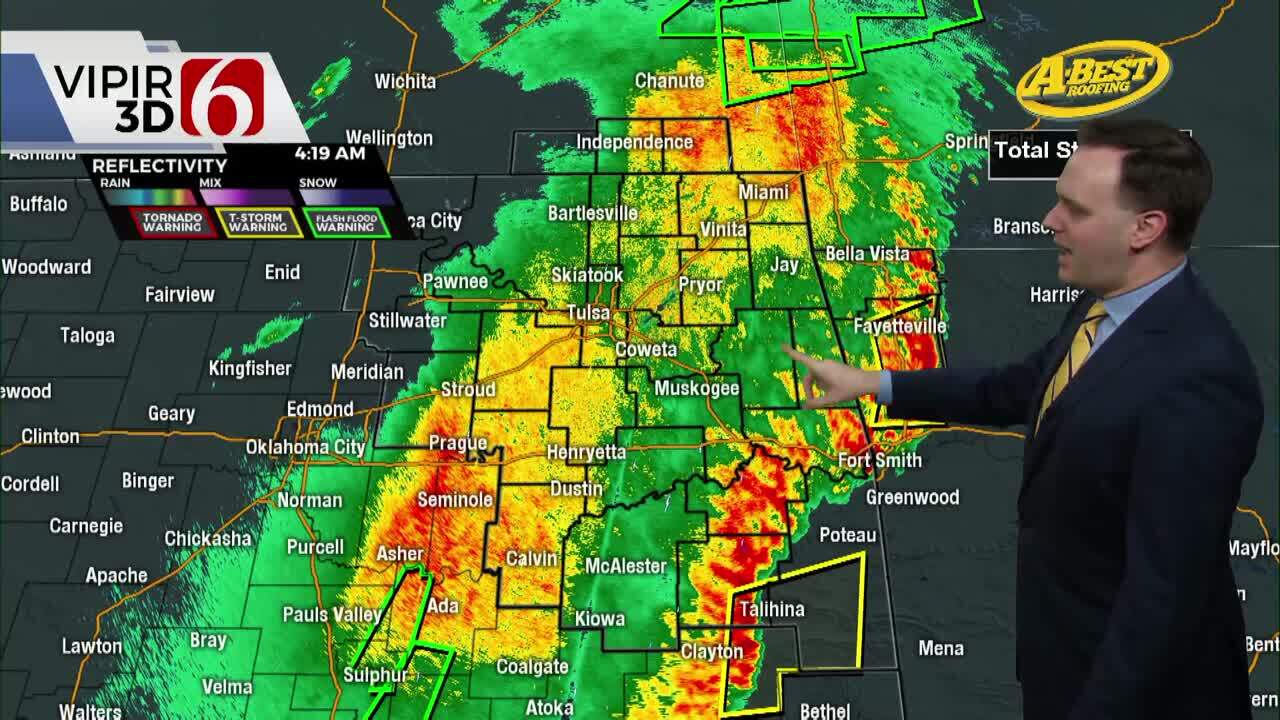
A quick-moving upper level disturbance is leading to an increase in clouds and may spit out some spotty, very light precipitation. Here in eastern Oklahoma, we don’t expect this to be anything other than some sprinkles or perhaps a few flurries today, with no measurable impacts expected.
But the cloud cover from that system will keep us quite cold, with highs only reaching the upper 30s to lower 40s this afternoon and a brisk north breeze.
The winter cold continues Tuesday too! Lows will dip well down into the 20s Tuesday morning, and again temperatures will struggle on Tuesday with highs only climbing back to the lower 40s despite sunnier skies returning.
We’ll moderate back towards the lower 50s by Wednesday on what will easily by the nicest day of the week, but after that some wintry trouble is brewing!

Another surge of cold air arrives by late Thursday, coinciding with a stronger upper-level trough that will take shape off to our west. By Friday a larger area of precipitation will begin to develop across the state.
This may start out as rain, but as the cold air continues to surge across the state, we’ll likely see this transition to some sort of wintry mix during the day Friday across portions of Oklahoma, with the potential for a changeover to snow for parts of the area by Saturday.
There’s still a lot of uncertainty regarding the timing of this late-week system, when/where wintry precipitation is most likely, and what kind of accumulations we could see. Check back for updates through the week as details become more clear!
Have a wonderful Monday, Green Country! Be sure to follow me on Twitter @StephenNehrenz as well as my Facebook page Meteorologist Stephen Nehrenz to stay up to date with the very latest!

Get The Daily Update!
Be among the first to get breaking news, weather, and general news updates from News on 6 delivered right to your inbox!
More Like This

December 3rd, 2018

April 15th, 2024

April 12th, 2024

March 14th, 2024
Top Headlines

April 28th, 2024

April 28th, 2024
April 28th, 2024

April 28th, 2024
