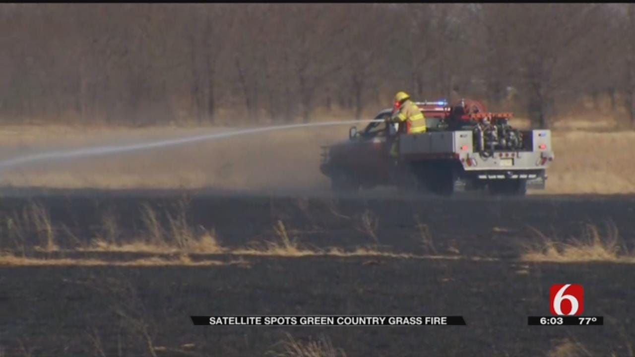
Satellite System Alerts Firefighters To Mayes County Grass Fire
<p>The satellite 10,000 miles away spotted the flames between Chouteau and Pryor within minutes of the first report from the ground.</p>Thursday, February 15th 2018, 7:11 pm
A new satellite detection system helped firefighters contain a grass fire in Mayes County Thursday.
The satellite 10,000 miles away spotted the flames between Chouteau and Pryor within minutes of the first report from the ground.
The wind pushed a grass fire across more than 200 acres in Mayes County. Firefighters stopped it even though it jumped over train tracks and across a paved road.
2/15/2018 Related Story: Grass Fire Threatens Structure In Mayes County
“And after it got going, with this wind it really took off,” said Mike Dunham with Mayes County Emergency Management.
Within minutes of the fire starting, a National Weather Service satellite sent out an alert.
“The thermal infrared information we get from satellite gives us instant notification of a fire underway,” said Steve Cobb, National Weather Service Science and Technology Officer.
The weather service has been able to spot plumes of smoke on radar for years. Now, forecasters can see hot spots on the ground from space.
The new system almost instantly sends the location to first responders.
“It's worked like a charm. It's alerted us to the fire and we know it's a big one because it's shooting up on satellite, and we're going to try to get after it,” Dunham said.
On this fire, the satellite notification came in at about the same time as dispatchers relayed a call through 911.
The new fire detection system is one benefit of an improved satellite launched a year ago that's better for everyday weather as well.
“We're looking to make great strides in our detection and forecast,” Cobb said.
Forecasters compare it to a radar indicated tornado warning that's faster but still not quite as good as a first-hand report on the ground.
They believe it's especially valuable for areas where a fire might otherwise go unnoticed until it gets out of hand.
More Like This
February 15th, 2018
September 29th, 2024
September 17th, 2024
Top Headlines
December 12th, 2024
December 12th, 2024
December 12th, 2024


