

All Modes Of Severe Weather Possible In NE Oklahoma Tonight
<p>Tonight looks to be active across Green Country as a cold front moves through. </p>Thursday, October 6th 2016, 4:10 pm


We are heading into our third consecutive night of storms.
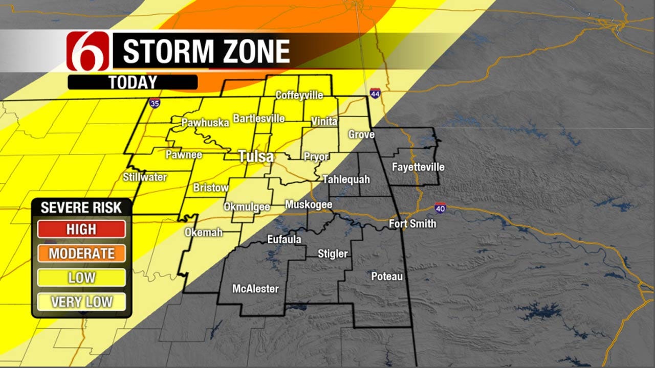
Tonight looks to be active across Green Country as a cold front moves through. A dry-line will be set up across western Oklahoma this afternoon and once the cold front arrives, storms should start developing.
Once storms develop, they should quickly become strong or severe because they will be in a very unstable environment. All modes of severe weather will be possible. Large hail and damaging winds will be the most common. There is a chance of isolated tornadoes primarily across north-central Oklahoma and central Kansas.
Storms will move east into Green Country late this evening. The strongest storms should be in a line along the leading edge of the cold front. Here in the metro, we could see storms as early as 9 p.m. A severe thunderstorm watch is in effect until 10 p.m. for western and central Oklahoma.
After tonight, a few lingering showers will be possible in the morning but we are setting up for a very fall like and beautiful afternoon tomorrow. Just stay weather aware today and tonight.

Get The Daily Update!
Be among the first to get breaking news, weather, and general news updates from News on 6 delivered right to your inbox!
More Like This
October 6th, 2016

September 29th, 2024

September 17th, 2024

Top Headlines

December 11th, 2024

December 11th, 2024

December 11th, 2024

December 11th, 2024