Pleasant Weekend Warm-Up For Green Country
We continue to thaw out from this week’s taste of Arctic air with an overall pleasant weekend ahead for Green Country!Saturday, February 15th 2020, 10:08 am
We continue to thaw out from this week’s taste of Arctic air with an overall pleasant weekend ahead for Green Country!
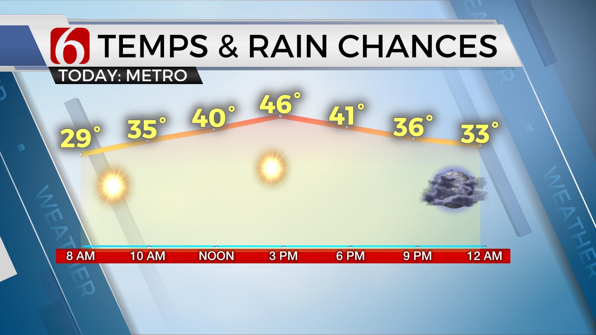
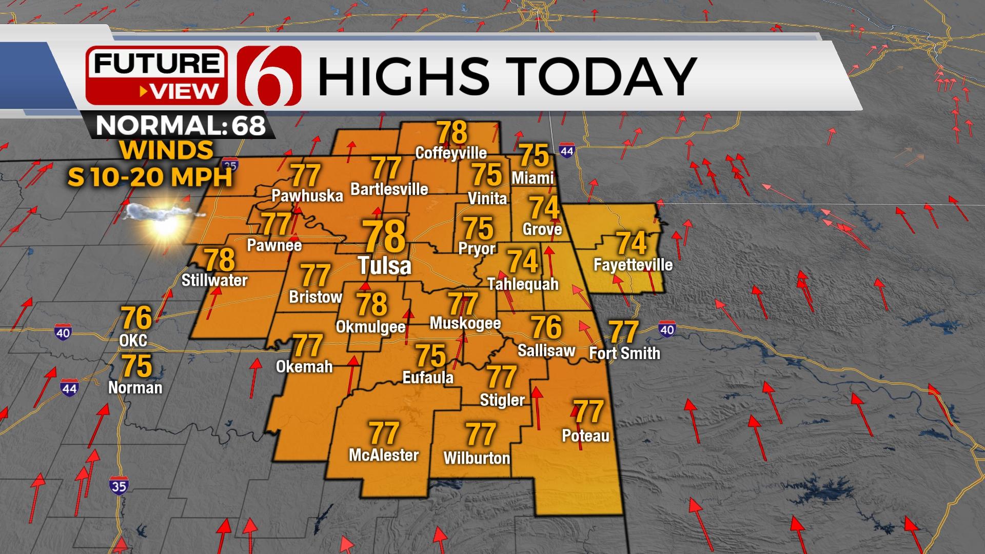
Gusty south winds will keep a bit of a chill in the air for our Saturday, though those winds will diminish with time this afternoon. Rounds of mid to high level clouds will roll across Green Country as well, intermixed with periods of sunshine. Despite some clouds we’re still in for a nice warm-up with highs reaching the upper 50s in many spots!

A very weak frontal boundary will drift into eastern Oklahoma late in the day and tonight. This front will have minimal impacts, other than bringing a slight chance of a shower or two across southeast Oklahoma overnight into Sunday morning. But lighter winds along that boundary may allow some areas of dense fog to develop Sunday morning.
Lingering fog and low clouds may hamper our warm-up somewhat on Sunday. Regardless, we should still see another beautiful day Sunday with highs back in the upper 50s, perhaps warmer if the fog and cloud cover clear quickly enough!

Mild weather will stick with us for one day to start the upcoming week as south winds increase early in the day on Presidents Day Monday. Highs should climb into the 60s in many spots, even though we’ll have considerable cloudiness and even a few areas of drizzle. A stronger cold front will move through late Monday, with a slight chance of showers and much chillier weather to follow.
More typical February temperatures will hang with us for most of the week behind that front. Highs look to sink back into the 40s on Tuesday and hold there until late week, although precipitation chances appear minimal.
I hope you have a great Saturday, Green Country! You can follow me on Twitter @StephenNehrenz as well as my Facebook page Meteorologist Stephen Nehrenz to stay up to date with the very latest!
More Like This
February 15th, 2020
November 30th, 2022
November 1st, 2022
August 26th, 2022
Top Headlines
December 12th, 2024
December 12th, 2024
December 12th, 2024
December 12th, 2024


