Sunday Rain And A Few Strong Storms For Green Country
Rain and thunderstorms are in the cards for our Sunday across Green Country as a cold front arrives.Sunday, February 9th 2020, 9:45 am
Rain and thunderstorms are in the cards for our Sunday across Green Country as a cold front arrives.
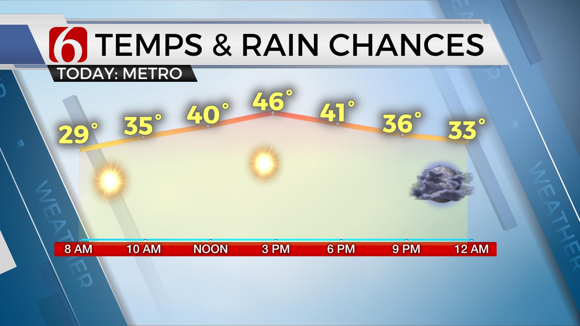
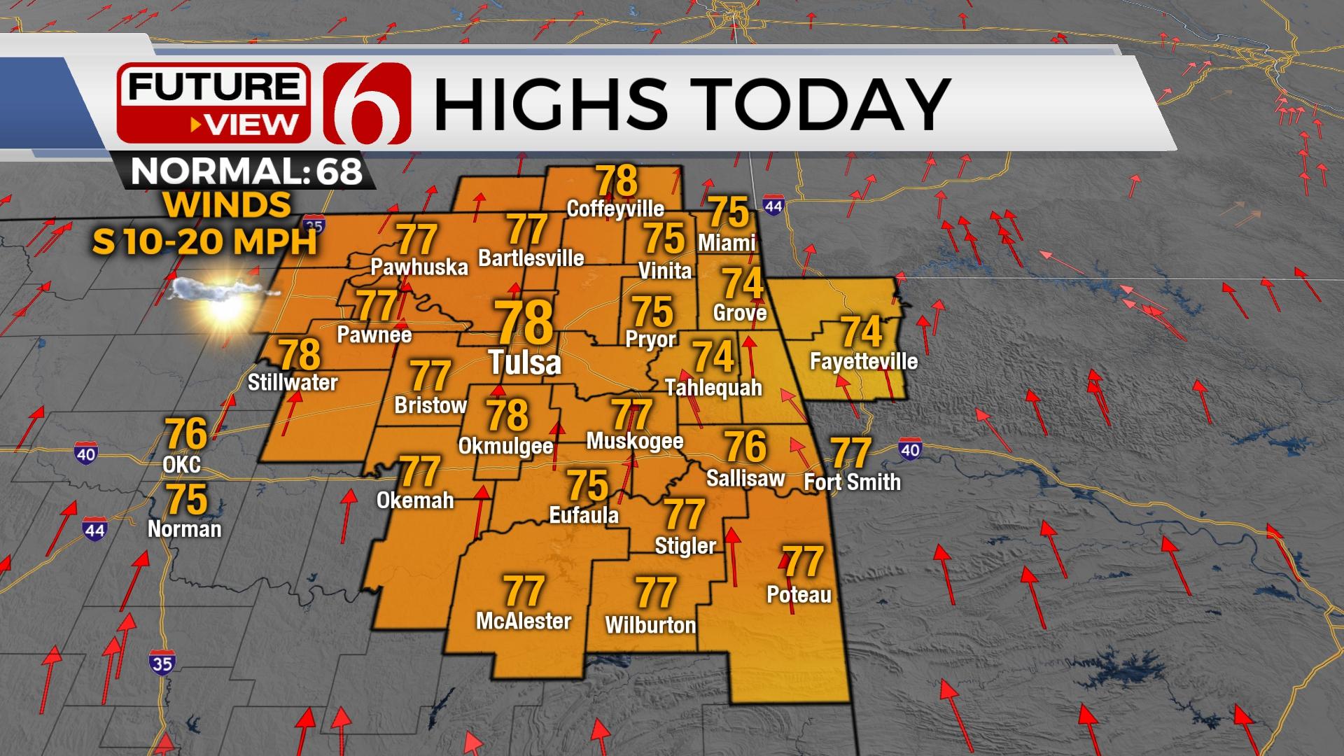
Cloudier skies and gusty south winds stick with us today, but we’ll stay mild despite the cloud cover with highs in the lower 60s by early afternoon. Temperatures north of Tulsa will start to fall this afternoon as that cold front pushes in.
Scattered showers will break out along and ahead of the cold front by midday and especially this afternoon across eastern Oklahoma. By late afternoon, enough instability will exist for scattered thunderstorms to form southeast of the I-44 corridor along the front.

A few strong to severe storms could briefly occur across southeast Oklahoma from late afternoon into the evening hours. Quarter size hail and 60 mile per hour winds will be the biggest threats. The tornado threat should remain very limited, but not completely zero. Just stay aware from late afternoon into the evening across our southeastern counties! Severe storm chances look to diminish in southeastern Oklahoma after 7 PM to 8 PM.

Rain and storms will steadily wind down from northwest to southeast later tonight, with much chillier air spilling back in to start the week. Clouds will hang tough again Monday with lows around freezing and highs only in the 40s. Another round of light showers will spread back across Oklahoma Monday evening into Monday night, with only very light amounts expected.
Cloudy, chilly, and occasionally damp weather will hang with us for a good chunk of the week. Another round of precipitation will take shape on Tuesday across Texas, western Oklahoma, and Kansas. This may end up as more wintry precipitation in counties west of our viewing area, but we’re more likely to see primarily rain as this wave spreads across Green Country from Tuesday night into Wednesday. We’ll keep you updated as this system gets closer.
I hope you have a great Sunday, Green Country! Keep the free News On 6 app handy to check radar and receive the latest alerts. You can also follow me on Twitter @StephenNehrenz as well as my Facebook page Meteorologist Stephen Nehrenz to stay up to date with the very latest!
More Like This
February 9th, 2020
November 30th, 2022
November 1st, 2022
August 26th, 2022
Top Headlines
December 11th, 2024
December 11th, 2024
December 11th, 2024
December 11th, 2024


