Sunny Tuesday, Fire Danger Returns Wednesday
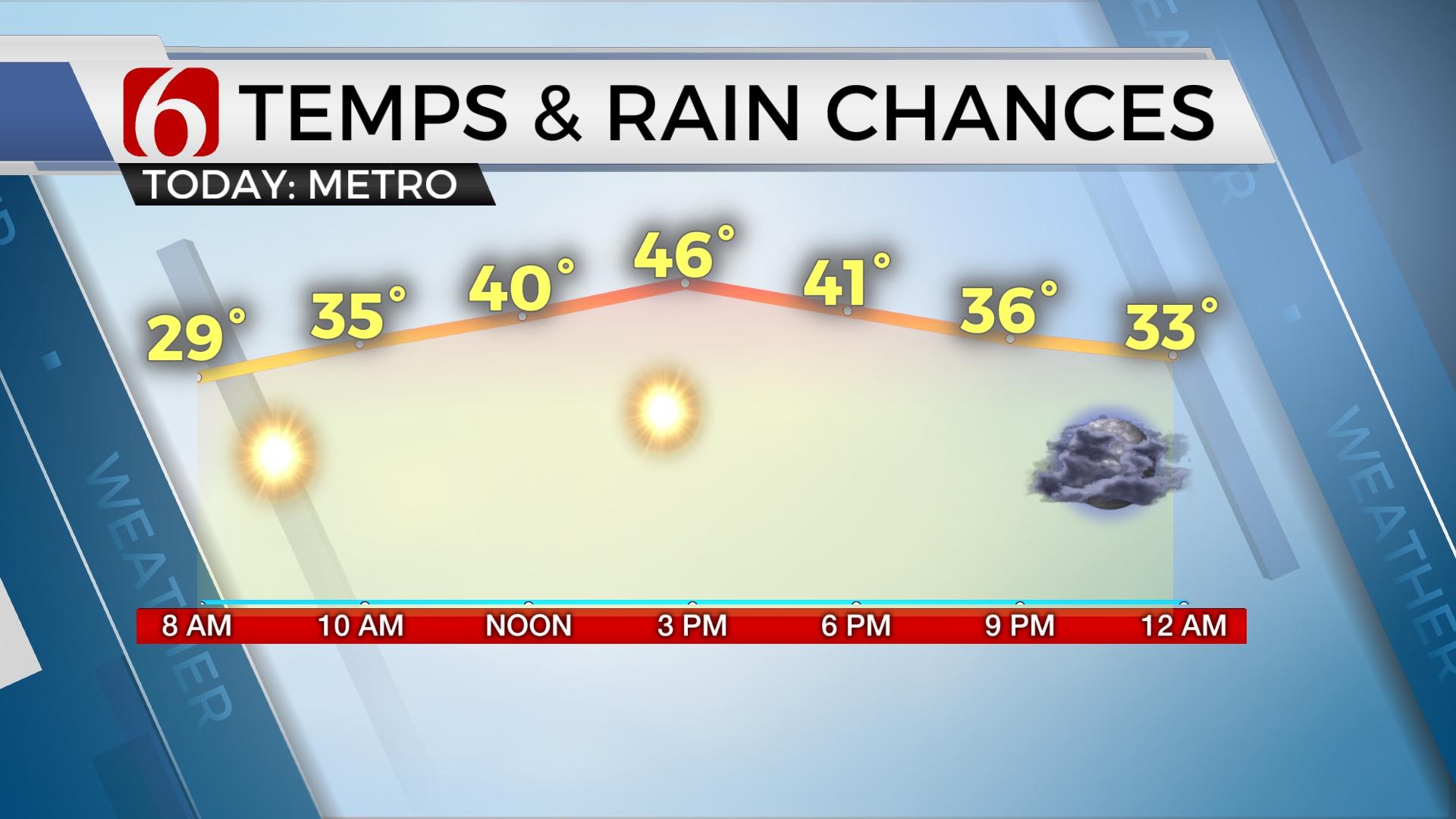
Highs will reach the mid to upper 50s east and a few lower 60s west along with another sunshine filled afternoon with southwest winds from 10 to 15 mph. The fire danger issues will ramp-up significantly Wednesday.Tuesday, January 7th 2020, 6:46 am
A couple of items of interest will dominate the weather discussion for the next few days, including the potential for high fire danger issues, showers and storms with some severe threats, and not the least, wintry precipitation for Saturday. Other than those few items, we’re in good shape today! Highs will reach the mid to upper 50s east and a few lower 60s west along with another sunshine filled afternoon with southwest winds from 10 to 15 mph. The fire danger issues will ramp-up significantly Wednesday as a stout pressure gradient develops in response to our next approaching storm system. South winds from 20 to 40 mph will be possible along with low relative humidity and dry conditions. This will create a fire spread rate of nearing 300 ft per minute, which is the highest rate we’ve seen so far this winter season. Wednesday should be a NO burn day across the state. So please, use all caution to keep from creating a spark or setting a fire that could quickly get out of hand. Fire danger issues will quickly subside Thursday and transition to shower and storm chances as the first of two waves approach the area.

Thursday south winds will continue increasing low level moisture across north Texas into southeastern OK in advance of our surface low pressure area that will be located across southeastern Colorado or northwestern OK. This should result in mostly cloudy conditions Thursday along with a few spotty showers across eastern OK. This type of moisture return typically results in some drizzle, but we’ll continue to keep a mention for showers. Most locations will remain dry Thursday, but some will not. Strong south winds should also persist Thursday, but the increasing moisture field will offset the fire danger issues.

Deeper low-level moisture will also be making the trip from the Gulf into central and east Texas Friday morning in advance of a strong upper level jet that will blast across the plains Friday with upper level wind speeds nearing 90 knots. Spotty showers and some thunder will become possible Thursday night across eastern OK, but higher chances will arrive Friday as the moisture should take a slightly jog west and be positioned along and east of the I-35 corridor as the main jet streak approaches the state and a surface cold front moves across northern OK. Showers and storms will become more numerous during this period with locations across far southeastern OK up through the I-40 corridor region in a favorable position for strong to severe storms, including tornadic storms across extreme southeastern OK into the ArkLaTex. The surface front should cross the Tulsa metro during the Friday midday to afternoon period bringing slightly cooler air into northern OK, while keeping warmer air and higher instability across the southeastern quadrant of the state. We’ll need to watch this time, Friday evening, for severe storm formation across the eastern OK. If the front continues to slow down, the threat for a few strong to severe storms would be nearing the metro.

By late Friday evening into Saturday, a stronger upper level system will be nearing the state which may bring the threat of some wintry precipitation across the area. The exact track of the main upper level system will determine the location of any wintry impacts, and this has continued to change some from run to run over the last few days. The EURO has been the more consistent model bringing some accumulation across NE OK with the GFS mostly to our north, across southeastern Kansas. Data will continue to waffle for another few days before actual trough nears the western coastal region and has a better chance to be observed by the upper air system. These data will be used in model suite projections and will no doubt continue to change some over the next few days. Our forecast continues to keep mentions of wintry precip along with a one-day column cooled snap of temperatures Saturday before rebounding Sunday into Monday. The pattern also supports the potential for a true surge of shallow arctic air retuning across the Nation by the middle of next week, including the potential for some impacts across Oklahoma. Stay tuned.
Thanks for reading the Tuesday morning weather discussion and blog.
Have a super great day!
Alan Crone
More Like This
January 7th, 2020
November 30th, 2022
November 1st, 2022
August 26th, 2022
Top Headlines
December 14th, 2024
December 14th, 2024
December 14th, 2024
December 14th, 2024


