Winter Returns To Green Country
A powerful cold front rolled across the area yesterday and we’re flirting with freezing temps this morning along and north of highway 412. Blustery and chilly weather will stick around for the day.Monday, April 13th 2020, 2:05 am
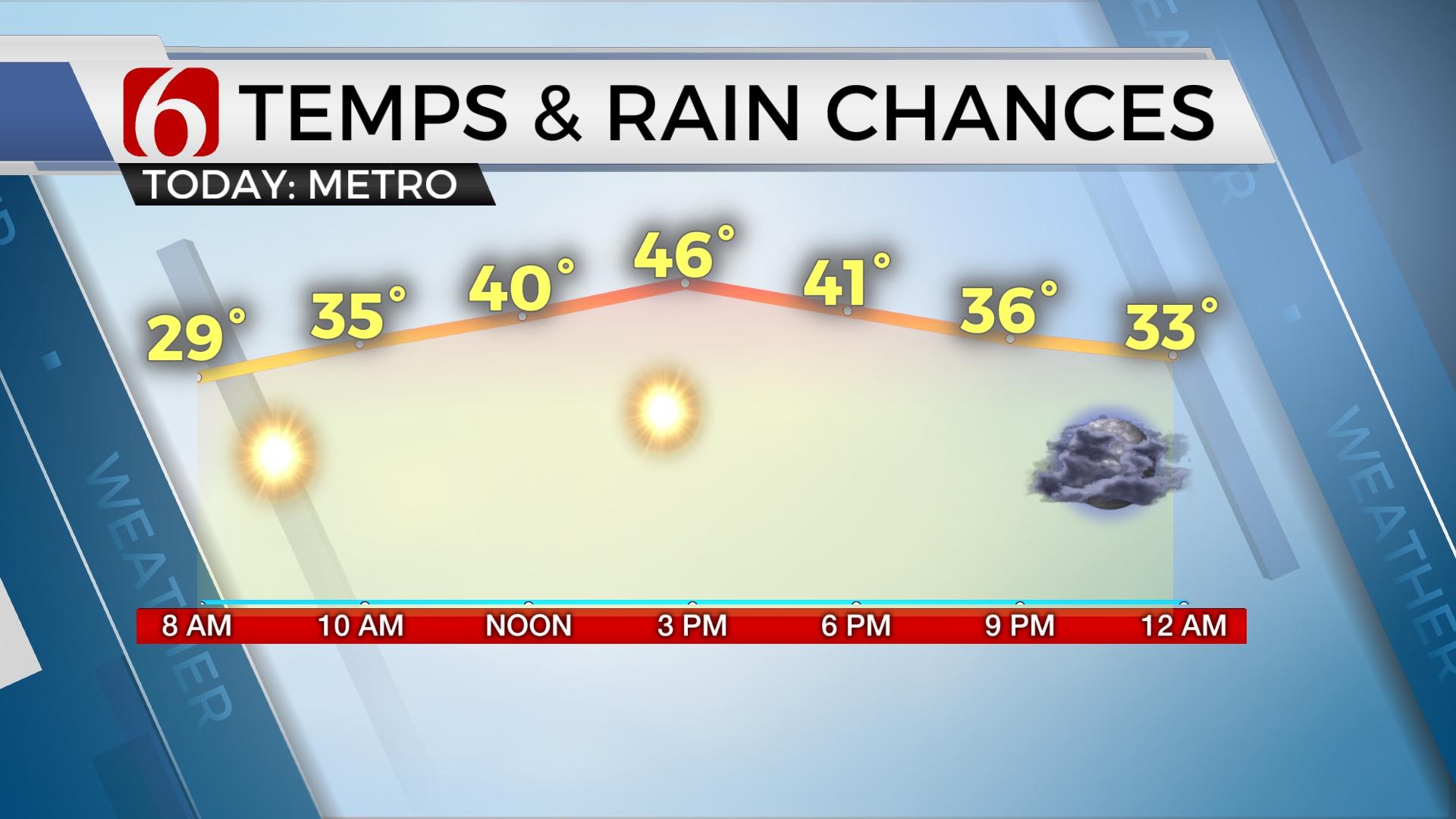
A powerful cold front rolled across the area yesterday and we’re flirting with freezing temps this morning along and north of highway 412. Blustery and chilly weather will stick around for the day with highs staying in the upper 40s north and some lower 50s south. Another disturbance will move from the west to east later tonight bringing some light showers across part of the region. The air aloft is cold enough for some snowflakes and we’ll have chances for light showers mixed with some snow later tonight into part of Tuesday. No issues are expected. Chilly weather will remain with Tuesday afternoon highs staying in the upper 40s. We’ll start near freezing again Wednesday morning with moderating temps Wednesday afternoon with highs in the lower 60s along with some sunshine before another storm system nears the state Thursday evening into Friday morning.

Thursday night into Friday morning another mid-level disturbance is likely to brush the central plains states. Another surface low should develop across northwestern OK and move across the northern portion of the state into Friday morning before diving southeast out the region Friday morning to midday. This should drag another fast-moving cold front across the state with another cool-down. This airmass should not last long but may take the highs back into the upper 40s or lower 50s Friday afternoon. Late Thursday night into Friday morning some showers or thunder will be possible but mostly on the cool side of the boundary. Severe weather is not anticipated.

This weekend south winds will return as the next stronger upper level system moves closer to the state by Saturday night and Sunday morning bringing another chance for shower and storms. Low level moisture is expected to make a better run into the state and a few strong to severe storms would be possible in this pattern, mostly across the Rd River Valley and north TX. But any jog slightly northward could bring this threat into northeastern OK.
Thanks for reading the Monday morning weather discussion and blog.
Have a super great and safe day.
Alan Crone
More Like This
April 13th, 2020
November 30th, 2022
November 1st, 2022
August 26th, 2022
Top Headlines
December 11th, 2024
December 11th, 2024
December 11th, 2024


