Chilly Weather Returns To Northeastern Oklahoma
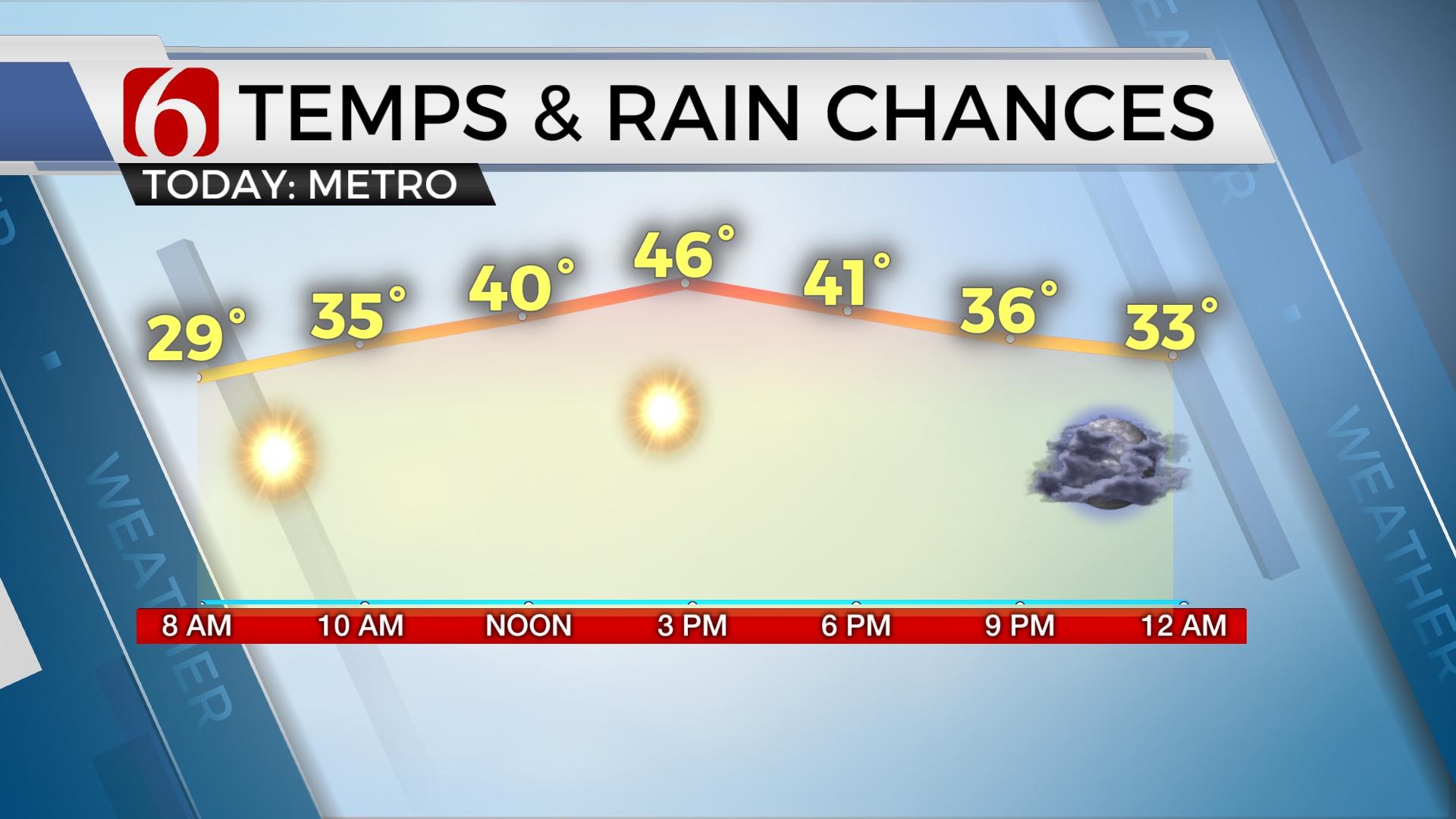
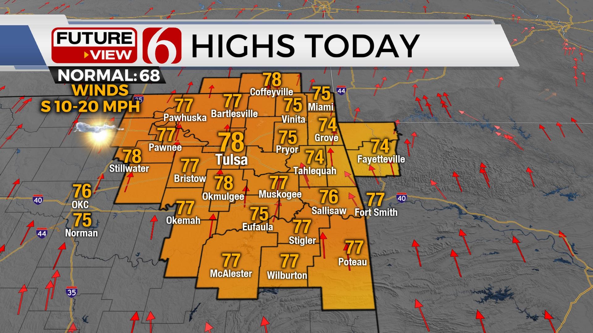
Chilly weather is underway this morning with some locations flirting with a light frost or freeze across far northeastern OK and southeastern Kansas. Highs this afternoon reach only the upper 50s to lower 60s.Friday, April 10th 2020, 3:08 am
Chilly weather is underway this morning with some locations flirting with a light frost or freeze across far northeastern OK and southeastern Kansas. Highs this afternoon reach only the upper 50s to lower 60s as a surface ridge of high pressure will remain close enough to NE OK keeping us on the cool side for the afternoon. Light north winds this morning will return from the south later this evening as the ridge moves east and pressure falls to the west as our next upper level system moves closer to the southern plains. This major upper level system will have impacts on weather across Texas this weekend before a strong cold front plows across the state Easter afternoon with rapidly falling temps and strong north winds. As this front passes the area Sunday, winterlike temps will return for a few days next week before another reinforcing shot of cold air arrives Wednesday night into Thursday.

The issues for the weekend involve timing and location for showers and storms. The data continues to waffle somewhat on positioning, but a consensus allows for some higher confidence regarding the weekend. A few showers will be possible Saturday morning mostly pre-dawn near the metro as low level moisture quickly returns across the state, but this activity sill remain sparse. Showers and storms will develop across part of west Texas later tonight and should brush north Texas and portions of southern OK Saturday midday to afternoon. Most of this activity will remain south of the metro Saturday afternoon, but higher chances will remain for locations along and south of the I-40 corridor, and more so along the Red River Valley. A few could be strong to near severe with higher chances for severe across north Texas. Further west, part of western Ok may also experience a few storms by Saturday afternoon off the dry line. Basically, the main forcing from the advancing upper trough will remain to the southwest of the immediate area tomorrow with higher chances for storms across Texas, including some severe weather threats.

Saturday night into Sunday morning the main upper trough will be nearing the Red River and probably begins to open some from a closed low. At least one, possibly two surface areas of low-pressure centers will develop. One across northwestern OK and the other across north central Texas. If this is the case, higher chances for storms will remain across the Red River into southeastern to east-central OK Sunday morning to midday with moisture being mostly focused to the east of the region by midday. A veering wind profile in the mid-levels of the atmosphere by midday will also effectively bring a dry slot across central to part of eastern OK for an hour or two at midday, yet there will remain some chance for a few storms as the surface cold front advances southeast by Sunday afternoon. We’ll not get too fancy with specific timing at this point and keep the chances for the morning and midday intact. As I have posted here several times this week, I still think this boundary will arrive faster than model data depictions. The Sunday highs into the upper 60s and lower 70s will quickly end by the 1 to 3pm hour near the metro with temps falling into the mid-40s by 4pm and the upper 30s by 6pm. I wouldn’t be shocked if this occurred even faster. As the front moves southeast, and after the potential showers along the boundary end, much colder air will arrive Sunday night into Monday morning with temps dropping into the lower or mid-30s. Monday afternoon highs will only reach the upper 40s to lower 50s with another fast-moving wave moving near the region late Monday night into Tuesday morning with chance for showers. The air aloft will be more than adequate for snow, but mid-levels to surface would be too warm. Thus, we’ll keep our low mentions for light showers Tuesday morning, but a few snowflakes would be possible if we do experience any precipitation.

Another front appears to arrive Wednesday night or Thursday morning with another shot of chilly and below seasonal average temps into the end of the week. A small short-wave aloft may also bring a few showers across northern OK Thursday, but these chances also remain rather low. Another strong looking upper system may near next weekend with some warmer conditions that could lead to storm chances.
Thanks for reading the Friday morning weather discussion and blog.
Have a super great day!
Alan Crone
More Like This
April 10th, 2020
November 30th, 2022
November 1st, 2022
August 26th, 2022
Top Headlines
December 11th, 2024
December 11th, 2024
December 11th, 2024
December 11th, 2024


