Lower Humidity And Not As Hot Weather For Northeastern Oklahoma
And the nice stretch of weather is underway. Drier air has continued to move across northeastern Oklahoma and now covers most of the region with temps dropping into the lower and mid-60s.Tuesday, August 18th 2020, 6:09 am
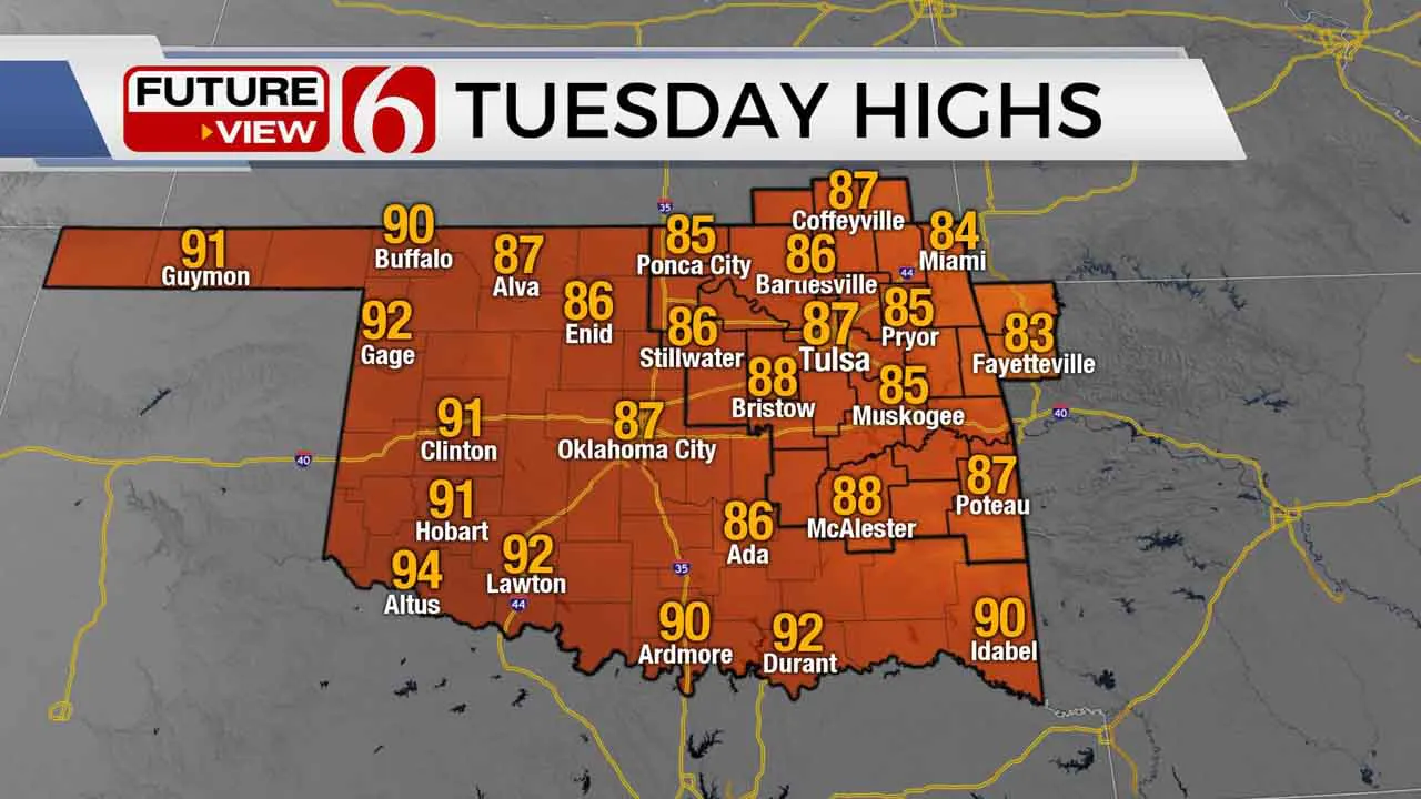
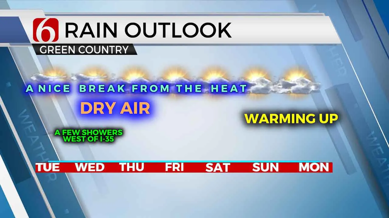
And the nice stretch of weather is underway. Drier air has continued to move across northeastern Oklahoma and now covers most of the region with temps dropping into the lower and mid-60s. A few spots could reach the upper 50s this morning before moving into the lower 80s for noon and the mid to upper 80s for daytime highs. This pattern will remain for the entire week, but some subtle changes will signal the eventual return of slowly increasing humidity and temperature. Precipitation chances will remain very low but not zero. I almost never exclude at least as small mention for precipitation in this upper air pattern from the north, but we see no major signals for our immediate area.

The main upper air pattern remains with a strong trough across the Midwest into the northeastern U.S. with a ridge positioned across the southwestern U.S. extending into part of the western U.S. The result is a northerly flow moving down the plains and across Oklahoma. This pattern is notorious for giving us a few surprise showers or storms, but we see no major signals that require probabilities in the forecast. But that’s the issue: the data usually doesn’t suggest any pops! We’ll be watching closely for any observational clues; just in case we need to add any chances in the short term. At this point, any shower activity should remain near or west of I-35 for the next few days. Otherwise, enjoy this nice stretch of weather. North winds for the next few days will keep the muggy weather well to our south. Southeasterly low-level flow returns Wednesday night through the end of the week. This will gradually bring higher dew points back northward, but no major heat index values are expected in the next 5 to 7 days.

The tropical environment across the Atlantic Basin is indicating the potential for increased activity during the next 10 to 20 days. This is not unusual, as the active portion of the system is usually based in late August and early September. What has been unusual is the number of named systems already in the season. If we get to the end of the current list, the World Meteorological Organization will use the Greek Alphabet. So, we would go from Teddy, Vicky and Wilfred, to Alpha, Beta, Gamma, and onward. There are no tropical systems starting with Q, U, X, Y and Z.
Thanks for reading the Tuesday morning weather discussion and blog.
Have a super great day!
Alan Crone
More Like This
August 18th, 2020
August 8th, 2023
July 4th, 2023
May 8th, 2023
Top Headlines
December 12th, 2024
December 12th, 2024
December 12th, 2024
December 12th, 2024


