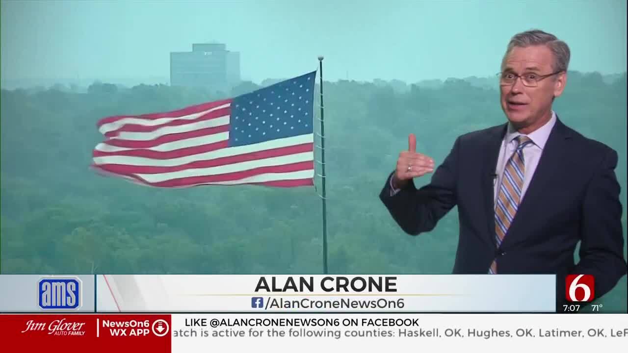
Cooler Days Ahead As Fall Sets In For Oklahoma
Cooler Days Ahead As Fall Sets In For OklahomaTuesday, September 29th 2020, 8:08 am
TULSA, Okla. -
If you like fall weather, you should love this week. This morning and Friday morning will represent the cooler mornings for the next 7 days. Wednesday features the warmest afternoon of the week, with highs reaching the mid-80s along with a one-day return of southwesterly winds around 10 to 15 mph.
The upper air pattern will remain from the northwest to southeast for the entire week with at least two more fronts moving across the state. The first arrives Wednesday afternoon and evening and the 2nd Saturday evening. The moisture will be limited for the middle of the week, but we may have just enough returning low level moisture for showers or storms Saturday evening. The chances will currently remain low in the forecast, but we may be increasing these chances as we near the weekend.
Temperatures this morning will start in the lower to mid-40s in the valleys with locations near Tulsa around 45 to 47. Sunny conditions along with northwest wind around 10 to 15 mph this afternoon will make the highs near 75 look and feel very fall like. You’ll probably need the jacket this morning but most of us will be fine through the afternoon.
Southwest surface winds return tomorrow and allow a robust one-day warm-up into the mid to upper 80s before the next front brings more fall conditions to the state Thursday and Friday. The data this morning is slightly faster with the 2nd front for the weekend and we’ll bring this boundary across northern OK around 7pm Saturday evening with a chance for a few showers or storms.
Thanks for reading the Tuesday morning weather discussion and blog.
Have a super great day!
Alan Crone
Be sure and check out my daily weather forecast podcast. You’ll find it on SoundCloud and most podcast providers.
More Like This
September 29th, 2020
August 8th, 2023
July 4th, 2023
May 8th, 2023
Top Headlines
December 12th, 2024
December 12th, 2024
December 12th, 2024
December 12th, 2024


