

Severe Thunderstorm Watch Issued For Parts Of Northeast Oklahoma Until 5 PM
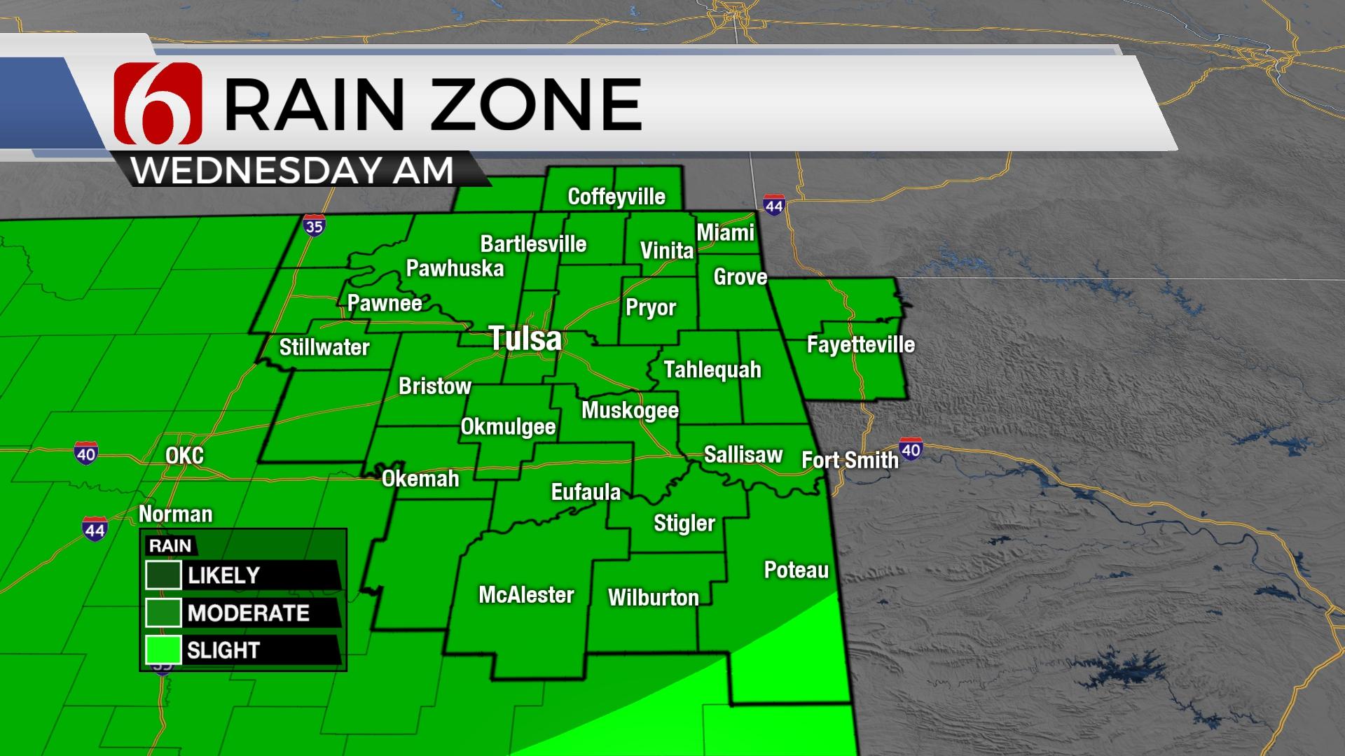
Another round of early-morning storms is possible on Wednesday, chances diminish during the afternoon.Wednesday, June 8th 2022, 12:06 pm

TULSA, Oklahoma -
Update 12 p.m. 6/8/2022
A Severe Thunderstorm Watch has been issued for Adair, Cherokee, Delaware and Sequoyah counties until 5 p.m.
Update 11 a.m. 6/8/2022
A severe Thunderstorm Warning was issued for McIntosh and Pittsburg County until 11:45 am.
A Severe Thunderstorm Watch was issued for Haskell, Latimer, Le Flore, Pittsburg, and Pushmataha County until 5:00pm.
Update 10:23 a.m. 6/8/2022
A Severe Thunderstorm Warning has been issued for Adair and Sequoyah counties until 11 a.m. on Wednesday morning.
According to the NWS, severe thunderstorms, moving southeast at 40 mph, could produce wind gusts upwards of 60 mph. The NWS says people in the path of this storm can expect damage to roofs, siding and trees.
Update 9:54 a.m. 6/8/2022
A Flash Flood Warning has been issued for Adair County until 2:45 p.m. on Wednesday.
Update 9:20 a.m. 6/8/2022
A Severe Thunderstorm Warning has been issued for Cherokee, Mayes, Rogers and Wagoner counties until 10:00 a.m. on Wednesday morning.
According to the NWS, a severe thunderstorm, moving southeast at 20 mph, was located near Inola. this storm has the potential to produce 70 mph wind gusts.
---
Update 8:41 a.m. 6/8/2022
A Flood Advisory has been issued for Osage, Rogers, Tulsa and Wagoner counties until 10:15 a.m.
The NWS says minor flooding in low-lying and poor drainage areas is possible.
---
Update 8:06 a.m. 6/8/2022
Several watches and warnings are in effect across Green Country on Wednesday morning as showers and storms sweep across parts of the state.
The National Weather Service has issued a Severe Thunderstorm Warning for Osage, Pawnee and Tulsa counties until 8:30 a.m. on Wednesday.
Click Here To See The Latest Weather Warnings And Watches
The NWS says a severe thunderstorm that is currently moving southeast at 25 mph, was located over Osage County. The storm has the potential to produce wind gusts as strong as 60 mph and quarter-sized hail stones.
A Flood Watch has also been issued by the NWS for two counties in northeastern Oklahoma on Wednesday morning.
Click Here To View Our WARN Radar For Real-Time Weather Updates
According to the NWS, the watch is in effect until 4 p.m. on Wednesday Afternoon. The NWS says flooding caused by excessive rainfall is possible from this storm as the system moves across east-central
Oklahoma into northwest and west-central Arkansas through Wednesday afternoon.
Alan's Daily Weather Blog: Active Weather Pattern Remains

Get The Daily Update!
Be among the first to get breaking news, weather, and general news updates from News on 6 delivered right to your inbox!
More Like This


November 25th, 2024

November 15th, 2024

November 14th, 2024
Top Headlines

December 11th, 2024

December 11th, 2024

December 11th, 2024

December 11th, 2024