

Severe Storms Moving Across Oklahoma Producing Strong Winds, Rain
Potentially severe storms are moving across Green County on Monday. News On 6 Meteorologist Travis Meyer is tracking storms and sharing updates from the Bob Mills Weather Center.Monday, October 24th 2022, 2:21 pm


TULSA, Okla. -
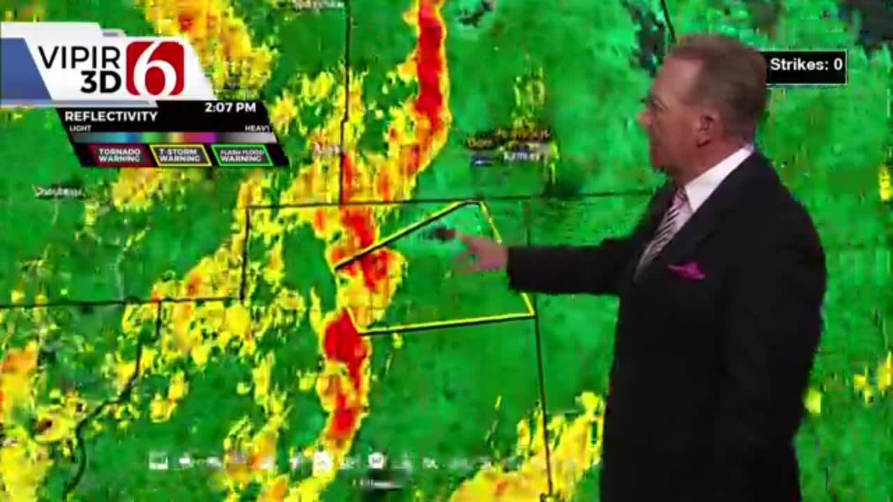
Update 10/24/2022 at 2:05 p.m.
A Severe Thunderstorm Warning has been issued for Cherokee County until 2:15 p.m.
The NWS said this storm is near Scraper, Okla., and is moving east at 30 MPH.
60 MPH wind gusts have been indicated on radar and Meteorologist Travis Meyer said the storm has tightened and could produce a tornado "very quickly".
Stay tuned to News On 6 for severe weather updates.
Update 10/24/2022 at 1:30 p.m.
A Severe Thunderstorm Warning has been issued for Mayes County until 1:45 p.m.
The National Weather Service says this storm was located near Locust Grove and is moving northeast at 25 miles per hour.
Radar indicates wind gusts up to 60 MPH and Meteorologist Travis Meyer said trees and powerlines could be knocked out.
Stay tuned for updates.
---
Update 10/24/2022 at 12:20 p.m.
Rogers County is under a Severe Thunderstorm Warning until 12:45 p.m.
---
A Severe Thunderstorm Warning has ben issued for Creek, Osage, Rogers, Tulsa, Wagoner and Washington counties until 12:15 p.m.
Click Here To See The Latest Weather Warnings And Watches
According to the National Weather Service (NWS), A severe thunderstorm was located near Sand Springs moving northeast at around 40 mph.
The NWS says this storm has the potential to produce 60 mph wind gusts and hailstones upwards of .75 Inches.
Click Here To View Our WARN Radar For Real-Time Weather Updates
---
Update 10/24/2022 at 9:20 a.m.
A line of strong storms is sweeping through the state on Monday.
One storm produced a brief, weak tornado spin-up on the west side of the Oklahoma City metro. The small and weak twister touched down around 8:28 a.m. just west of Mustang, Oklahoma.
News On 6 Storm Chasers Tom Pastrano and Von Castor were on the scene and caught video of the moment.

---
Update 10/24/2022 at 7:08 a.m.
Showers and storm chances return to Green Country on Monday.
Click Here To View Our WARN Radar For Real-Time Weather Updates
News On 6 Meteorologist Stephen Nehrenz says parts of the state could see some heavy downpours and even some marginally severe storms toward the afternoon hours on Monday.
Wind gusting toward 30 mph.
Click Here To View Our News On 6 Traffic Map for the latest Traffic Updates
Rainfall could begin toward the mid-morning hours, as warm temperatures and some gusty winds continue.

Get The Daily Update!
Be among the first to get breaking news, weather, and general news updates from News on 6 delivered right to your inbox!
More Like This
October 24th, 2022

November 25th, 2024

November 25th, 2024

November 25th, 2024
Top Headlines

December 13th, 2024

December 13th, 2024

December 13th, 2024

December 13th, 2024