

Morning Storms Underway
Rain is falling across parts of Green Country on Wednesday morning.Wednesday, January 18th 2023, 6:33 am
If you’re into podcasts or in a rush, check out my daily weather update. Search for NewsOn6 and ‘Weather Out The Door’ on most podcast providers, including Spotify, Stitcher and Tune-In, or Click Here to listen on Apple Podcasts.
TULSA, Okla. - Rain is falling across parts of Green Country on Wednesday morning.
Here are the details from News On 6 Meteorologist Alan Crone:

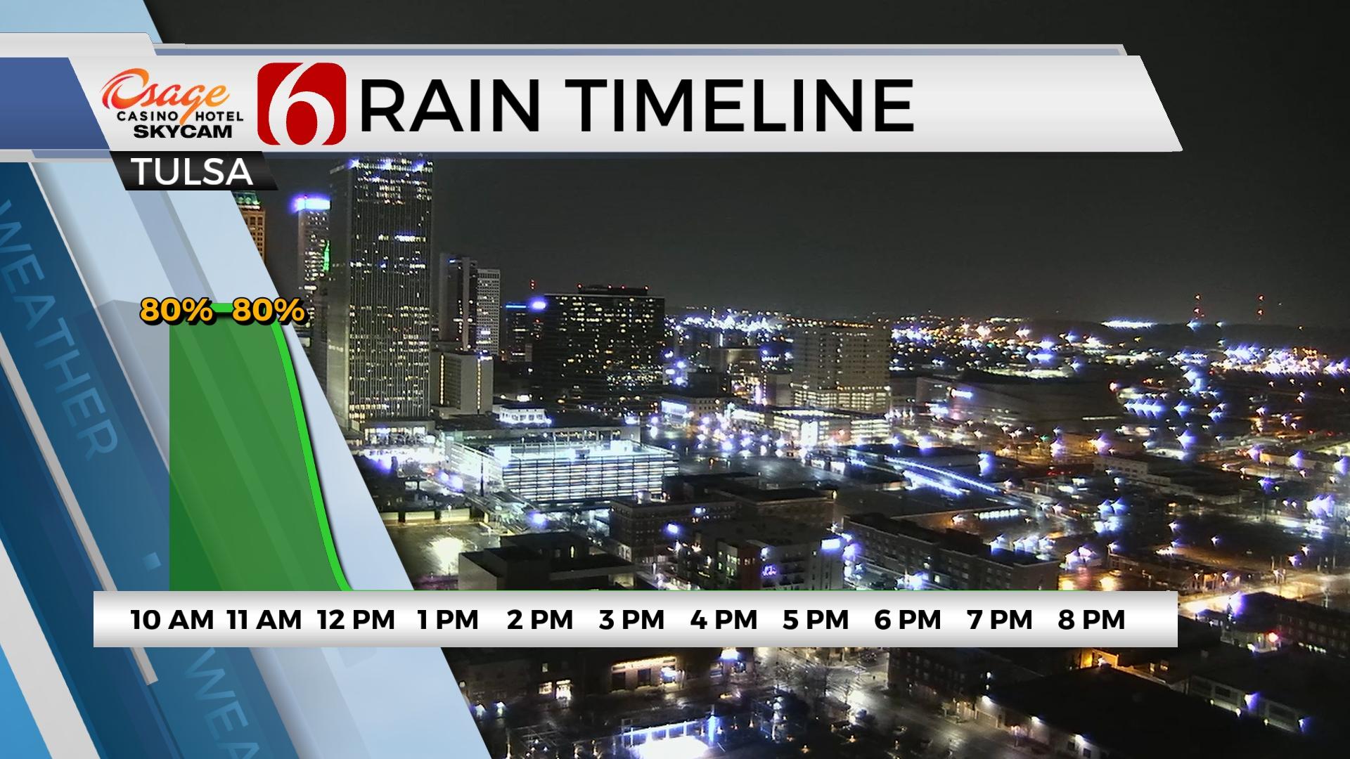
The system is quickly nearing the area on Wednesday morning with scattered showers and storms underway for some, but not all locations. The severe threats are very low, but not zero. The true warm sector remains across the ArkLaTex but increasing low-level moisture is underway across southeastern Oklahoma. Most of the early morning storms will be elevated in nature but may still produce some small hail, gusty winds, and heavy downpours. As the dry line nears I-35 by midmorning, additional convection is possible, scattered across southeastern OK and more linear along the boundary. A few of the scattered storms across southeastern sections could briefly become severe. Surface instability is limited but strong wind shear may aid in the development of a few strong to severe storms. Most of the precip will be east of the metro around noon and out of eastern Oklahoma by 2 p.m. at the latest.

As the main upper-level low nears southern Kansas early afternoon, colder air aloft will overspread the area and may destabilize the atmosphere for a very small window of time across extreme northeastern OK into southeastern Kansas. This is a highly conditional threat that may not occur at all, but I’ll respect the cold core as it nears. The latest data support the core staying a little more northward, into central Kansas by the early afternoon.

Later midday, as the dry line clears the area, gusty southwest winds return with highs in the 60s. Despite the early morning precip, the fire danger will increase this afternoon near and west of Tulsa. The true cold front nears later this evening with gusty northwest winds and falling temps. This will bring chilly, colder conditions for Thursday with morning lows in the 20s and 30s. Afternoon highs will reach the upper 40s and lower 50s with breezy northwest winds and sunshine. Friday features a cold start in the 20s and brings highs in the lower to mid-50s. Another strong-looking upper system nears this weekend and another early next week.

The weekend temps should drop into the mid to upper 40s for afternoon highs will increase shower chances by Saturday afternoon and evening. Colder air will also arrive by Saturday evening and may support a small window for a light wintry mix, mostly across far northeastern sections into southern Kansas early Sunday.
Next week features a return of winter temps and the potential for some wintry weather. I’ll have more on this tomorrow.
Thanks for reading the Wednesday morning weather discussion and blog.
Have a super great day!
Alan Crone
KOTV

Get The Daily Update!
Be among the first to get breaking news, weather, and general news updates from News on 6 delivered right to your inbox!
More Like This
January 18th, 2023

June 21st, 2023

June 19th, 2023

June 13th, 2023
Top Headlines

December 11th, 2024

December 11th, 2024
December 11th, 2024

December 11th, 2024