Storm System Approaches Green Country For 4th Of July
<p>You will have to be paying very close attention to the weather when out celebrating the Fourth of July as Mother Nature might have some fireworks of her own. </p>Monday, July 3rd 2017, 11:09 am
We can’t rule out isolated showers and storms throughout the day Monday, but most of the activity should be western and central Oklahoma.
Partly cloudy skies for Monday afternoon with hot and humid conditions. Highs will be in the upper 80s and low 90s but heat index values will be in the upper 90s for some locations.
A light southeast breeze will help with ventilation this afternoon and try to make it feel not so hot. Monday night, clusters of thunderstorms are expected to move from southwestern Kansas and western Oklahoma into Green Country.
Some of the storms, especially in northwestern and north-central Oklahoma could be severe. They should weaken as they move east but the main threats will be damaging winds and large hail. Rain and storms will linger through Tuesday morning.
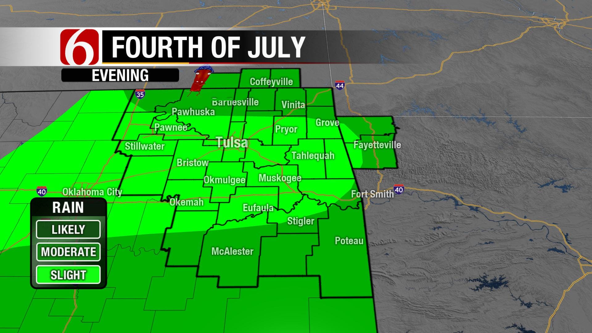
Clouds will stick around for Tuesday as well as the heat and humidity. Highs in the low 90s with heat index close to 100. A storm system will be approaching Green Country for the Fourth of July.
You will have to be paying very close attention to the weather when out celebrating the Fourth of July as Mother Nature might have some fireworks of her own.
Some of those storms will also the have the potential to be strong. Wednesday and Thursday will be unsettled with several opportunities for scattered showers and storms. More sunshine will show up by Wednesday and a warming trend will start to take shape.
A dome of high pressure aloft will slide east and afternoon highs will be pushing into the mid-90s by Thursday afternoon. Without a reprieve from dew points in the low 70s, heat indexes will be at or near 100 in the afternoons.
More Like This
July 3rd, 2017
September 29th, 2024
September 17th, 2024
Top Headlines
December 13th, 2024
December 13th, 2024
December 13th, 2024
December 13th, 2024


